Waiparous Creek
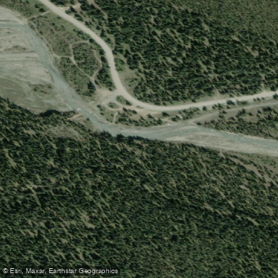
Waiparous Creek
- Boat Ramps
- 0
- Access Points
- 0
- Campsites
- 3
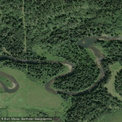
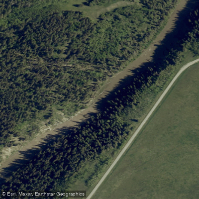
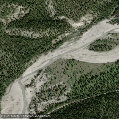
Waiparous Creek flows through the Ghost-Waiparous area west of Cochrane in Alberta, eventually draining toward Ghost Lake. The creek has been paddled as a continuous run, with one documented route launching near Margaret Lake and running downstream to Ghost Lake. At higher water levels the creek has been characterized as class 2 to low class 3 whitewater, while at lower water levels the difficulty decreases but hazards increase significantly in the form of wood and sweepers, which paddlers should treat as serious dangers throughout the run.
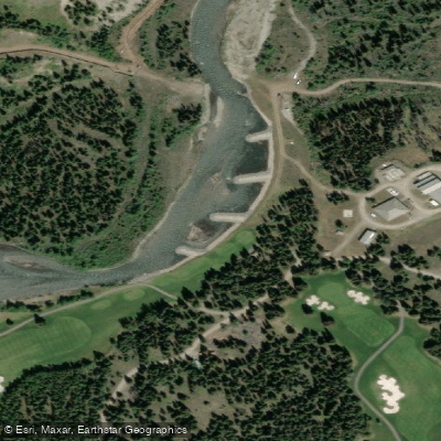
The Waiparous Creek Provincial Recreation Area provides a base for paddlers visiting the area, offering 53 campsites available by reservation as well as group camping and day-use facilities. Canoeing and kayaking are listed among the permitted activities at the recreation area. The surrounding area also supports fishing and hiking, and OHV use is prevalent throughout the Ghost-Waiparous region, which is worth noting as it affects the character of the access roads and campgrounds.
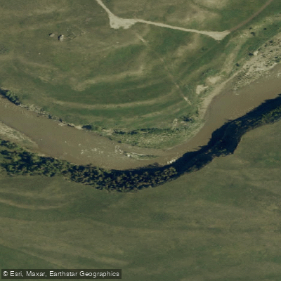
Water levels on Waiparous Creek can vary considerably by season. The creek has been noted as running high enough for a creek boat in early June, suggesting spring and early summer snowmelt periods may offer the most viable paddling conditions. At lower water levels, strainers and woody debris become the primary concern and can make sections hazardous regardless of the technical difficulty rating.
Paddlers considering this run should be aware that the Ghost-Waiparous area is managed under an Operational Access Management Plan, and the Waiparous Creek PRA falls within the Kananaskis region of Alberta Parks. Given the documented hazard of wood and sweepers even at low water, solid river-reading skills and appropriate whitewater experience are advisable before attempting this creek.
Water access, boat ramps & amenities
Learn how to get on Waiparous Creek. Uncover great paddling access points, boat ramps, and all the facilities you need for an unforgettable day on the water. Some locations shown may border or include private property. Always check property boundaries and applicable regulations before visiting. PaddleWays's Public & Private Land layer can help you plan your access with confidence.
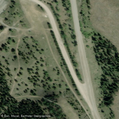
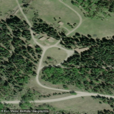
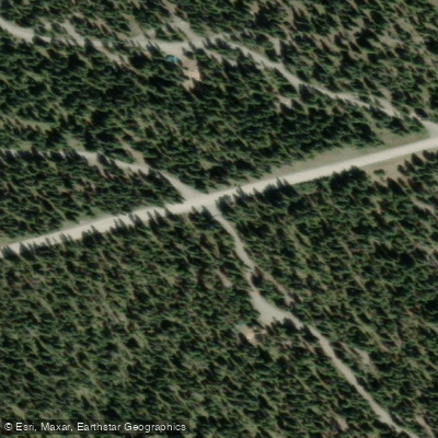
Paddle smarter with real-time insights
Whether you're en route and conditions shift or you're looking for the best spot based on current flows, we enable you to make informed decisions on the fly.







Ab licenses and regulations
No licenses or regulations available for Ab.
Find Places to Paddle

Over 400,000 Places to Paddle
Every user gets free access to launch points, boat ramps, and public property parcels.


Water and weather conditions (10 day forecast)
See the best times to paddle Waiparous Creek and check the forecast before you go.
No forecast data available.
Paddling near Waiparous Creek
Explore Ab waters
Top paddling waters
No waters available right now.
Popular Cities
Loading popular cities...
Explore near Waiparous Creek

Smarter Paddling Starts in the App.
Paddleways gives you everything you need to plan smarter, paddle better, and own every trip from first launch to takeout.