Chehalis River
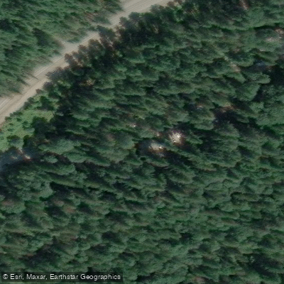
Chehalis River
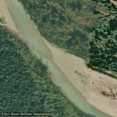
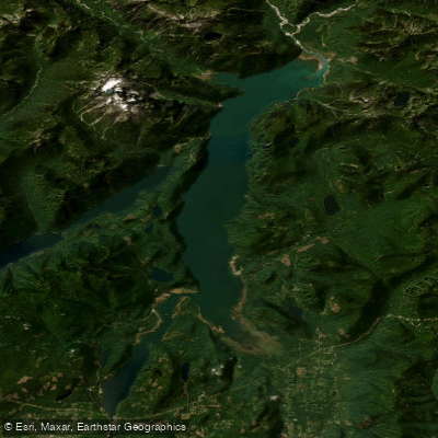
The Chehalis River flows out of the Douglas Ranges of the Coast Mountains in the southwest corner of British Columbia, near Chilliwack, running south-eastward before draining into the Harrison River.
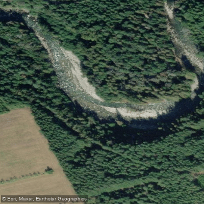
Though its valley has been heavily logged, the river itself passes through a small canyon before a flatter stretch leading to its confluence with the Harrison. The Chehalis is valued both as a fishing stream and a whitewater destination.
Together with tributaries such as Statlu Creek, it offers Class III and IV kayaking. Access to the river corridor is typically via Morris Valley Road off Highway 7 at Harrison Mills, with gravel forest service roads extending further into the watershed.
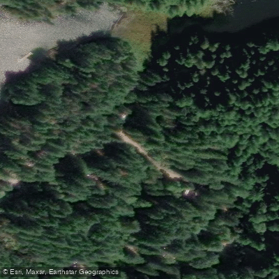
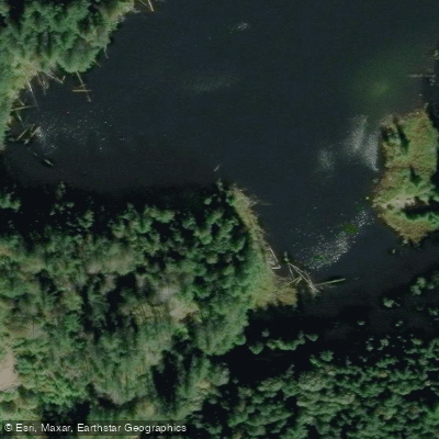
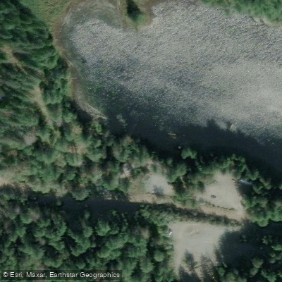
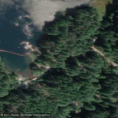
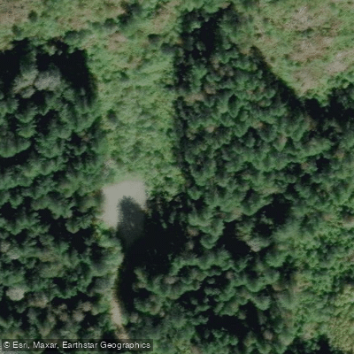
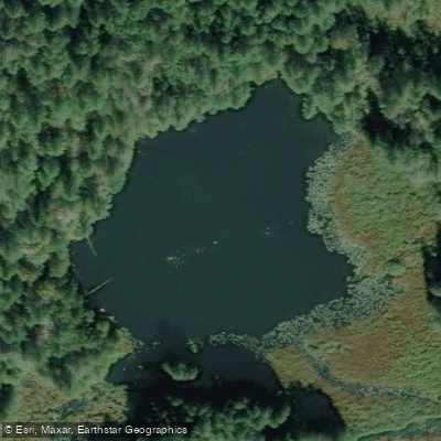
Nearby points of interest
Find excellent paddling spots, easy access to boat ramps, and all the amenities you need for a memorable day. Your adventure starts here.
Water and weather conditions (10 day forecast)
Check the forecast at Chehalis River before you go paddling.
No forecast data available.
Paddling near Chehalis River




Bc licenses and regulations
Explore Bc waters
Top paddling waters
No waters available right now.
Popular Cities
Loading popular cities...
Explore near Chehalis River
Nearby spots
Nearby waters
More in Bc

Smarter Paddling Starts in the App.
Paddleways gives you everything you need to plan smarter, paddle better, and own every trip from first launch to takeout.