Chilliwack River
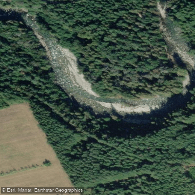
Chilliwack River
- Boat Ramps
- 0
- Access Points
- 5
- Campsites
- 4
The Chilliwack River flows through the Cascade mountain region of British Columbia, approximately 90 minutes east of Vancouver. The river is characterized as a constantly changing environment ranging from Class II to Class IV+ whitewater, making it a technically demanding run that rewards paddlers with experience across a range of difficulty levels.
Access to the river is straightforward. From Highway 1, take exit 119 in Chilliwack and head south on Vedder Road. Just before the bridge over the river at Vedder Crossing, turn left onto Chilliwack Lake Road. This road provides access to multiple put-in and take-out points along the river corridor.
Two well-documented runs are commonly paddled. The Slesse Creek to Tamihi stretch is a fairly continuous run with occasional slower sections. At lower water levels, rapids present as gradient drops with a mix of boulders, waves, and holes; as levels rise, the character shifts toward a bigger-water feel. The recommended gauge range for this section is 1.0 to 1.7 metres. The Sleese to Tamahi Rapids run is considered a solid year-round Grade III route, finishing with the Tamihi slalom course, which reaches Grade IV at certain levels but can be portaged. The Chilliwack Canyon run is a Class IV stretch approximately 14 kilometres in length and is suited to more experienced paddlers.
The river is runnable year-round, though water levels significantly affect the character of the rapids. Paddlers new to Class III should have prior experience before attempting the longer Slesse to Tamihi run, as the river is busy and can be shallow at lower flows.
Commercial operations on the river offer guided rafting and inflatable kayak trips, with a 5-acre private riverside facility on Chilliwack Lake Road that includes camping, hot showers, and a sauna. These amenities are available to those booking guided trips. The surrounding scenery includes Cascade mountain terrain and associated wildlife, consistent with the broader Fraser Valley and Cascade foothills environment.
Water access, boat ramps & amenities
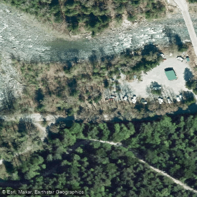
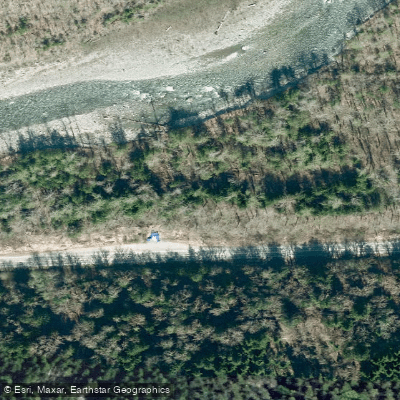
Learn how to get on Chilliwack River. Uncover great paddling access points, boat ramps, and all the facilities you need for an unforgettable day on the water. Some locations shown may border or include private property. Always check property boundaries and applicable regulations before visiting. PaddleWays's Public & Private Land layer can help you plan your access with confidence.
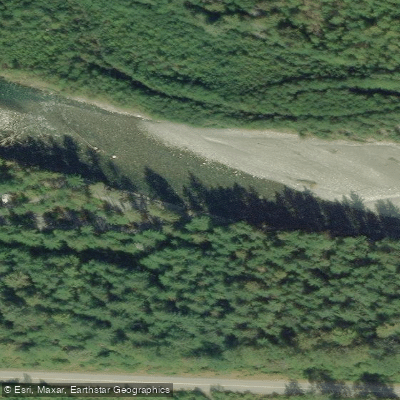
Paddle smarter with real-time insights
Whether you're en route and conditions shift or you're looking for the best spot based on current flows, we enable you to make informed decisions on the fly.







Bc licenses and regulations
No licenses or regulations available for Bc.
Find Places to Paddle

Over 400,000 Places to Paddle
Every user gets free access to launch points, boat ramps, and public property parcels.


Water and weather conditions (10 day forecast)
See the best times to paddle Chilliwack River and check the forecast before you go.
CHILLIWACK RIVER AT VEDDER CROSSING
All Flow Stations

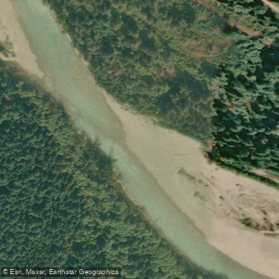

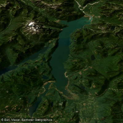


Explore Bc waters
Top paddling waters
No waters available right now.
Popular Cities
Loading popular cities...
Explore near Chilliwack River
Access points
Nearby waters
More in Bc

Smarter Paddling Starts in the App.
Paddleways gives you everything you need to plan smarter, paddle better, and own every trip from first launch to takeout.