Williams Peak Trail
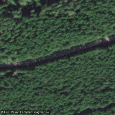
Williams Peak Trail
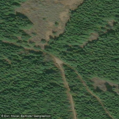
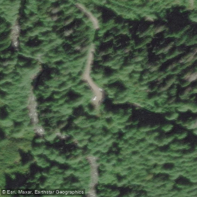
Williams Peak Trail begins approximately 32 kilometres up Chilliwack Lake Road, where a signed left turn leads to a car-accessible trailhead.
The route follows an old logging road before climbing steeply up Williams Ridge, gaining roughly 900 metres of elevation to reach the ridgeline.
A first cabin marks about one-quarter of the way up, a makeshift teepee structure appears just past the halfway point, and a second cabin indicates roughly two-thirds of the climb is complete.
Once on the ridge, the trail heads eastward for approximately 3 kilometres toward the summit, with considerable undulation along the way. The total round-trip distance is about 15. 9 kilometres with 1,850 metres of vertical gain.
The final approach to the summit involves navigating a boulder field and a loose, steep gully leading into a south-facing grassy gully. Summit views are panoramic, taking in the full Chilliwack Lake area and surrounding peaks.
The route is considered a moderate scramble and is featured in Matt Gunn's Scrambles in SW British Columbia .
More ways to access Chilliwack River
Explore the wonders of Chilliwack River! Find excellent paddling spots, easy access to boat ramps, and all the amenities you need for a memorable day by the water. Your adventure starts here.
Water and weather conditions (10 day forecast)
Check the forecast at Williams Peak Trail before you go paddling.
No forecast data available.
Paddling near Williams Peak Trail




Bc licenses and regulations
Explore Bc waters
Top paddling waters
No waters available right now.
Popular Cities
Loading popular cities...
Explore near Williams Peak Trail
On this water
Nearby spots
Nearby waters
More in Bc

Smarter Paddling Starts in the App.
Paddleways gives you everything you need to plan smarter, paddle better, and own every trip from first launch to takeout.