Lillooet River
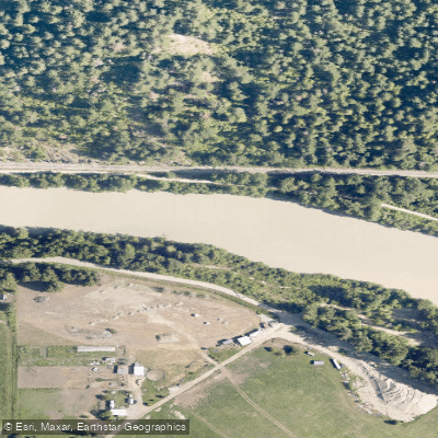
Lillooet River
- Boat Ramps
- 0
- Access Points
- 6
- Campsites
- 2
The Lillooet River in British Columbia flows through St'at'imc First Nation territory and offers a striking wilderness paddling experience within a few hours of Vancouver. The river is characterized as big, fast, and cold, carrying significant volume and moving with pushy, sometimes confused currents. The scenery throughout is dramatic, with glaciers and mountain terrain visible along the corridor.
The primary paddling reach commonly described runs between the lakes in the Pemberton area, rated Class II/III+ with one rapid that may reach Class IV. Only one rapid along this stretch typically warrants inspection before running. A notable hazard upstream, Keyhole Falls, should be avoided — paddlers starting from the Silt Lake area below the Lillooet Icefield must be aware of this feature. Near the community of Skookumchuck (St. Agnes Well), there is a significant drop that most whitewater paddlers would portage. Summer and mid-winter are the recommended seasons for this run.
Access is primarily from Highway 99 via Pemberton, turning at the Mount Currie Gas Station and continuing onto the In-shuck-ch Road. This road is unpaved, and a 4WD vehicle is recommended; in winter, sections can be steep and slippery, particularly on the West Lillooet Road along the river's west side. Road access from the south via the Mission/Harrison area is possible but variable and suited only to high-clearance 4WD vehicles. Carrying a spare tire and puncture repair equipment is strongly advised. There is no cell service along the run, so downloading maps and saving pin-drops in advance is essential. The full run involves approximately 73 km of forest service road driving to reach the take-out.
Put-in options are numerous. A multi-day canoe trip can begin in Pemberton or at the top of the lake near the In-shuck-ch FSR, adding over 30 km of flatwater paddling with recreation sites at Strawberry Point, Lizzie Point, and Driftwood Point along the way. Launching at the bridge is recommended when parking is a concern, adding about 4 km of lake paddling. The trip can run anywhere from 2 to 7 hours depending on the chosen put-in and take-out.
Access roads and surrounding land fall within St'at'imc First Nation communities. Paddlers are expected to respect posted speed limits and be considerate when parking.
Water access, boat ramps & amenities
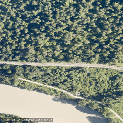
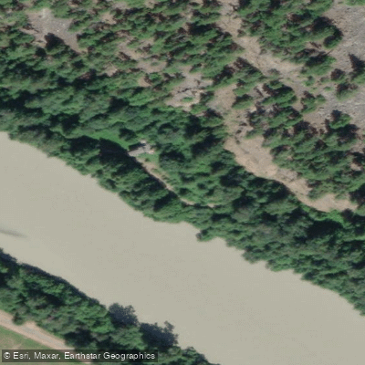
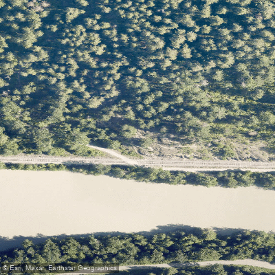
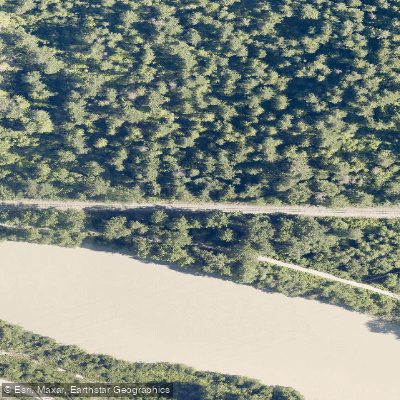
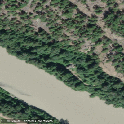
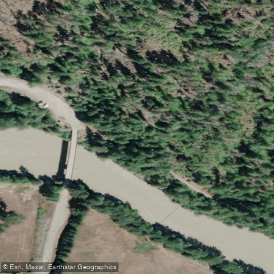
Learn how to get on Lillooet River. Uncover great paddling access points, boat ramps, and all the facilities you need for an unforgettable day on the water. Some locations shown may border or include private property. Always check property boundaries and applicable regulations before visiting. PaddleWays's Public & Private Land layer can help you plan your access with confidence.
Paddle smarter with real-time insights
Whether you're en route and conditions shift or you're looking for the best spot based on current flows, we enable you to make informed decisions on the fly.







Bc licenses and regulations
No licenses or regulations available for Bc.
Find Places to Paddle

Over 400,000 Places to Paddle
Every user gets free access to launch points, boat ramps, and public property parcels.


Water and weather conditions (10 day forecast)
See the best times to paddle Lillooet River and check the forecast before you go.
LILLOOET RIVER NEAR PEMBERTON
All Flow Stations
Paddling near Lillooet River







Explore Bc waters
Top paddling waters
No waters available right now.
Popular Cities
Loading popular cities...
Explore near Lillooet River
Access points
Nearby waters
More in Bc

Smarter Paddling Starts in the App.
Paddleways gives you everything you need to plan smarter, paddle better, and own every trip from first launch to takeout.