Whiteshell River
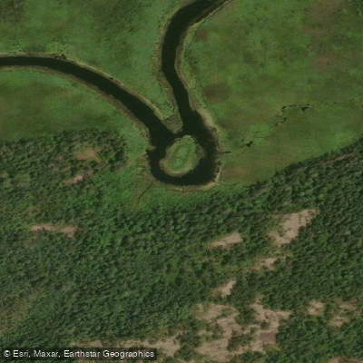
Whiteshell River
- Boat Ramps
- 1
- Access Points
- 1
- Campsites
- 0
The Whiteshell River is a small, winding river that flows through Whiteshell Provincial Park in southeastern Manitoba, connecting a series of lakes as it makes its way toward the Winnipeg River. The river originates in the Caddy Lake and West Hawk Lake area and terminates at Nutimik Lake, where it joins the Winnipeg River. The route passes through varied terrain including marshy stretches, rocky cliffs, boulder-strewn shores, and sections with small rapids and waterfalls.
The river is well-suited to introductory river touring. A popular one-way trip runs from White Lake downstream to Nutimik Lake, covering approximately 35 kilometres. The Nutimik Lake Provincial Campground serves as a convenient take-out, and the boat launch at White Lake provides ample parking for a vehicle shuttle. The park's highway system runs parallel to the river for much of its length, making car shuttles straightforward and bike shuttles feasible. Multiple road crossings and lake access points allow paddlers to customize trip length easily.
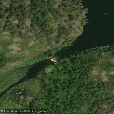
Notable features along the route include Pine Point rapids, which has a hiking trail and picnic tables accessible from the highway, Mallard Falls (described as the most scenic spot in the area), and the man-made rock tunnels between Caddy Lake, South Cross Lake, and North Cross Lake. These tunnels were blasted through solid granite during railway construction to maintain natural water flow. A water level control structure on Betula Lake typically requires a portage, though it can sometimes be run on river left during high water. The lower section of the river becomes sluggish as it approaches the Winnipeg River, passing through a large boggy lake connected to Heart Lake before reaching the flat-water paddle to Nutimik Lake.
Hazards to be aware of include the tunnels on Caddy and South Cross Lakes, which can be closed and dangerous during high water levels — paddlers should check with Manitoba Conservation before departing. Much of the river along certain stretches is marshy with few campsites. Mallard Lake can be difficult to traverse in low water, requiring a long drag through bog; it is more easily paddled in early summer during high water.
Water levels can be monitored through the Lake of the Woods Control Board website (lwcb.ca), where the Whiteshell River appears on the same chart as the Whitemouth River under the Basin Data page. A typical weekend trip involves driving out Saturday, paddling roughly half the intended distance, camping overnight, and completing the route Sunday.
Water access, boat ramps & amenities
Learn how to get on Whiteshell River. Uncover great paddling access points, boat ramps, and all the facilities you need for an unforgettable day on the water. Some locations shown may border or include private property. Always check property boundaries and applicable regulations before visiting. PaddleWays's Public & Private Land layer can help you plan your access with confidence.
Paddle smarter with real-time insights
Whether you're en route and conditions shift or you're looking for the best spot based on current flows, we enable you to make informed decisions on the fly.







Mb licenses and regulations
No licenses or regulations available for Mb.
Find Places to Paddle

Over 400,000 Places to Paddle
Every user gets free access to launch points, boat ramps, and public property parcels.


Water and weather conditions (10 day forecast)
See the best times to paddle Whiteshell River and check the forecast before you go.
WHITESHELL RIVER AT OUTLET OF JESSICA LAKE
All Flow Stations
Paddling near Whiteshell River
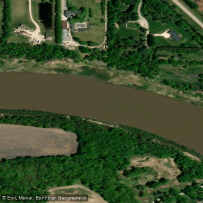
Red River

Assiniboine River
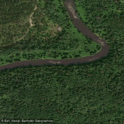
Whitemouth River
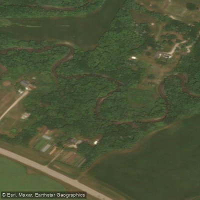
Rivière Seine
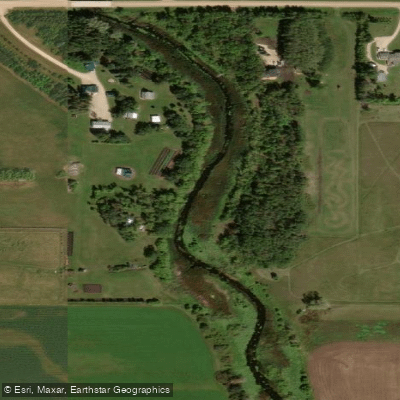
Cooks Creek
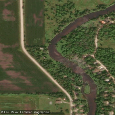
Brokenhead River
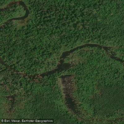
Hazel Creek
Bog River
Sturgeon Creek
Whitemouth Lake
Explore Mb waters
Top paddling waters
No waters available right now.
Popular Cities
Loading popular cities...
Explore near Whiteshell River

Smarter Paddling Starts in the App.
Paddleways gives you everything you need to plan smarter, paddle better, and own every trip from first launch to takeout.