Bay du Vin River
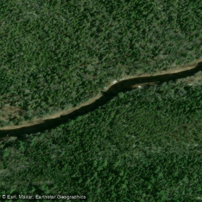
Bay du Vin River
- Boat Ramps
- 2
- Access Points
- 0
- Campsites
- 1
The Bay du Vin River drains approximately 315 km² of Northeastern New Brunswick, flowing in a long, linear basin oriented southwest to northeast before emptying into the Miramichi Inner Bay near the community of Bay du Vin. The river has a meander length of roughly 50 km along its main branch.
One of the river's most distinctive visual characteristics is its red-hued water, which results from the peat moss soils of the surrounding landscape. The river is considered an "orphan" tributary within the broader Miramichi drainage basin, meaning it receives relatively little management attention compared to other waterways in the system.
Highway 440 provides paved access to several points and crossings along the main branch, and the Bay du Vin River Road offers additional access. Camps and cottages are concentrated from the hamlet of Rosaireville downstream through approximately 10 km of the middle reach, indicating this stretch sees more human activity. At least 32 of the river's roughly 50 km of meander length have been travelled by canoe during habitat assessments, suggesting the river is navigable for a substantial portion of its length.
Summer temperatures in the region average around 19.2°C in July, while January averages -10.7°C. Notably, the river is documented to experience warm summer water temperatures, which have been identified as a significant environmental factor. Crown lands along the Bay du Vin are managed through lease-hold arrangements with J.D. Irving, which may be relevant for paddlers planning access or camping along the route.
Water access, boat ramps & amenities
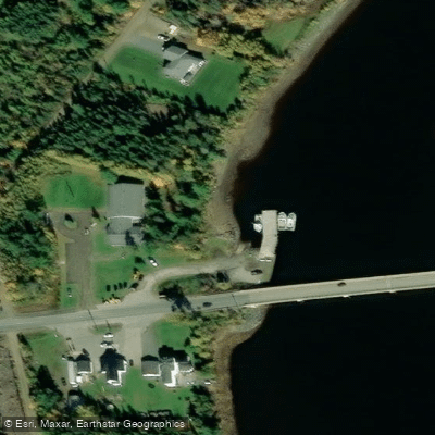
Learn how to get on Bay du Vin River. Uncover great paddling access points, boat ramps, and all the facilities you need for an unforgettable day on the water. Some locations shown may border or include private property. Always check property boundaries and applicable regulations before visiting. PaddleWays's Public & Private Land layer can help you plan your access with confidence.
Paddle smarter with real-time insights
Whether you're en route and conditions shift or you're looking for the best spot based on current flows, we enable you to make informed decisions on the fly.







Nb licenses and regulations
No licenses or regulations available for Nb.
Find Places to Paddle

Over 400,000 Places to Paddle
Every user gets free access to launch points, boat ramps, and public property parcels.


Water and weather conditions (10 day forecast)
See the best times to paddle Bay du Vin River and check the forecast before you go.
No forecast data available.
Paddling near Bay du Vin River
Miramichi River
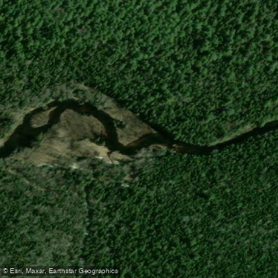
Kouchibouguac River
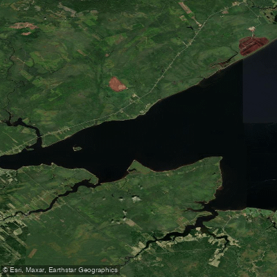
Miramichi River Estuary
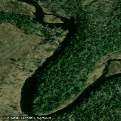
Kouchibouguacis River
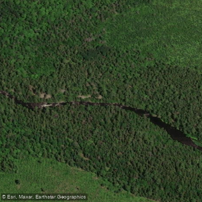
Northwest Miramichi River
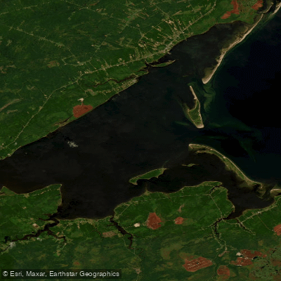
Miramichi Inner Bay / Baie intérieure de Miramichi,
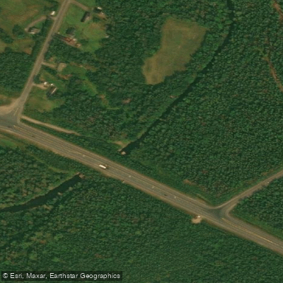
Black River
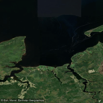
Bay du Vin
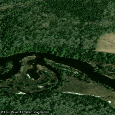
Richibucto River
Explore Nb waters
Top paddling waters
No waters available right now.
Popular Cities
Loading popular cities...
Explore near Bay du Vin River

Smarter Paddling Starts in the App.
Paddleways gives you everything you need to plan smarter, paddle better, and own every trip from first launch to takeout.