Northwest Miramichi River
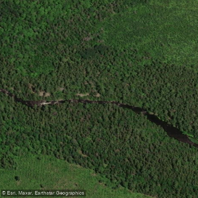
Northwest Miramichi River
- Boat Ramps
- 0
- Access Points
- 0
- Campsites
- 0
The Northwest Miramichi River is a tributary within the broader Miramichi River watershed in New Brunswick, flowing through wilderness terrain before joining the main river system near Wayerton. All tributaries in this watershed ultimately converge at the City of Miramichi, where the main branches meet at the Tickle, a narrow passage separating Wilsons Point from Beaubears Island.
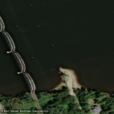
A common access point is the bridge on Route 430, where paddlers can put in for a long wilderness paddle that loops out and returns to Wayerton. From the Route 430 bridge, approximately 10 kilometres of paddling on the Northwest Miramichi brings paddlers to a river bank on the left side. The river also serves as the starting point for more ambitious multi-day expeditions, including a historic portage route via the Portage River toward the Nepisiguit watershed, though this route involves challenging navigation through dense alder thickets and requires proficiency in poling, particularly in the upper sections near the mouth of the Portage River.
The character of the river is predominantly wilderness-oriented, with limited infrastructure and few established campsites along the route. Paddlers undertaking extended trips should be prepared to improvise campsite locations. The portage connection to the Nepisiguit system is considered a very remote undertaking, with fewer than ten paddlers having completed it in recent decades.
For those seeking a more straightforward outing, the paddle from Route 430 out through the wilderness and back to Wayerton offers an extended day trip or overnight experience in a largely undeveloped setting. The broader Miramichi watershed, including the Northwest branch, is best paddled during the May long weekend when water levels are typically adequate, as water tends to run low during summer months.
Water access, boat ramps & amenities
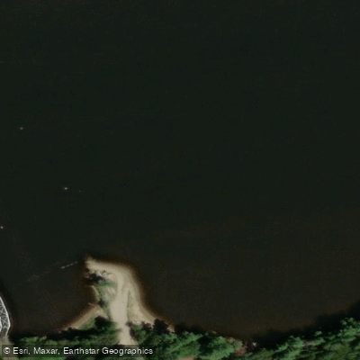
Learn how to get on Northwest Miramichi River. Uncover great paddling access points, boat ramps, and all the facilities you need for an unforgettable day on the water. Some locations shown may border or include private property. Always check property boundaries and applicable regulations before visiting. PaddleWays's Public & Private Land layer can help you plan your access with confidence.
Paddle smarter with real-time insights
Whether you're en route and conditions shift or you're looking for the best spot based on current flows, we enable you to make informed decisions on the fly.







Nb licenses and regulations
No licenses or regulations available for Nb.
Find Places to Paddle

Over 400,000 Places to Paddle
Every user gets free access to launch points, boat ramps, and public property parcels.


Water and weather conditions (10 day forecast)
See the best times to paddle Northwest Miramichi River and check the forecast before you go.
NORTHWEST MIRAMICHI RIVER AT TROUT BROOK
Paddling near Northwest Miramichi River
Miramichi River
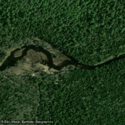
Kouchibouguac River
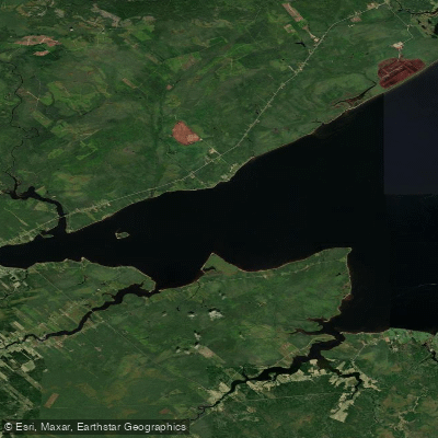
Miramichi River Estuary
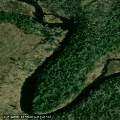
Kouchibouguacis River
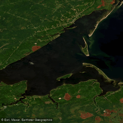
Miramichi Inner Bay / Baie intérieure de Miramichi,
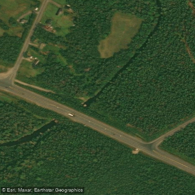
Black River
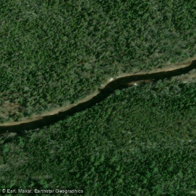
Bay du Vin River
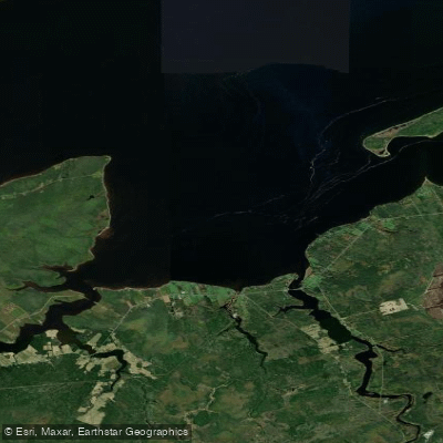
Bay du Vin
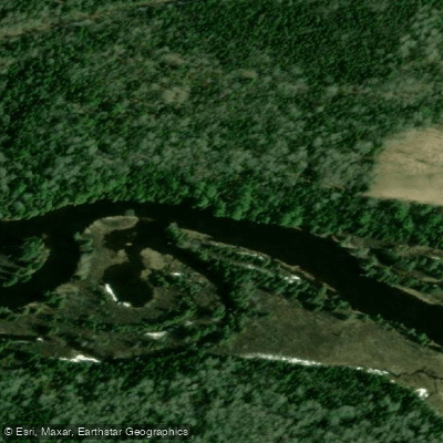
Richibucto River
Explore Nb waters
Top paddling waters
No waters available right now.
Popular Cities
Loading popular cities...
Explore near Northwest Miramichi River

Smarter Paddling Starts in the App.
Paddleways gives you everything you need to plan smarter, paddle better, and own every trip from first launch to takeout.