Black River
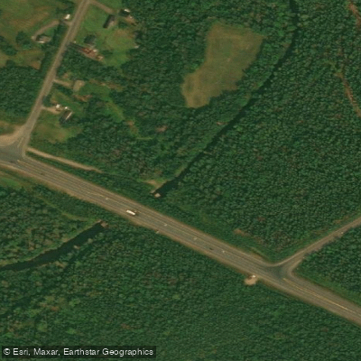
Black River
- Boat Ramps
- 1
- Access Points
- 0
- Campsites
- 0
The Black River in southern New Brunswick is a whitewater river with two commonly paddled sections, both terminating at the Black River Wharf on Wharf Road (45°15'40.2"N 65°48'34.4"W). The longer run begins off McDonald Lake Road (45°17'55.1"N 65°51'22.5"W), covering 9.2 kilometers at a gradient of 16 meters per kilometer. A shorter, recommended run of 4.47 kilometers puts in just off Garnett Settlement Road (45°17'26.3"N 65°50'23.6"W), with a gradient of approximately 15.9 meters per kilometer and an elevation drop from 69.6 meters to 15.2 meters; note that this put-in is on private property and paddlers are asked to exercise respect when using it. Paddle time on the shorter run, including scouting, is approximately 2.5 hours. The take-out elevation is influenced by tidal variation given the river's proximity to the Bay of Fundy.
Difficulty on the main whitewater section is strongly water-level dependent. At gauge readings of 1.4–1.5 meters, the river runs as a technical Class II/III, though at low levels the riverbed becomes excessively rocky and bony. At 1.6–1.7 meters it becomes a solid technical Class III with some Class IV features. At 1.9 meters, rapids can range from Class III to Class V. The river is rated Class III(+) for intermediate paddlers under typical runnable conditions.
An upper section also exists, with a put-in at 45°19'44.8"N 65°46'58.0"W and take-out at 45°18'23.1"N 65°50'54.7"W, covering 4.2 kilometers at a gentler gradient of 4.1 meters per kilometer. This section runs at Class I(+) and is suitable for paddlers new to moving water, though it carries a significant hazard: an abundance of sweepers. At flood levels (around 2.2 meters on the gauge), the risk of encountering new trees and debris in the water increases considerably.
The river also offers coastal access near its mouth, where it can be entered from the Bay of Fundy side at the right stage of tide, with eagles occasionally observed in the area. Paddlers should monitor the Black River gauge before any trip, as levels change frequently and dramatically affect both difficulty and safety.
Water access, boat ramps & amenities
Learn how to get on Black River. Uncover great paddling access points, boat ramps, and all the facilities you need for an unforgettable day on the water. Some locations shown may border or include private property. Always check property boundaries and applicable regulations before visiting. PaddleWays's Public & Private Land layer can help you plan your access with confidence.
Paddle smarter with real-time insights
Whether you're en route and conditions shift or you're looking for the best spot based on current flows, we enable you to make informed decisions on the fly.







Nb licenses and regulations
No licenses or regulations available for Nb.
Find Places to Paddle

Over 400,000 Places to Paddle
Every user gets free access to launch points, boat ramps, and public property parcels.


Water and weather conditions (10 day forecast)
See the best times to paddle Black River and check the forecast before you go.
No forecast data available.
Paddling near Black River
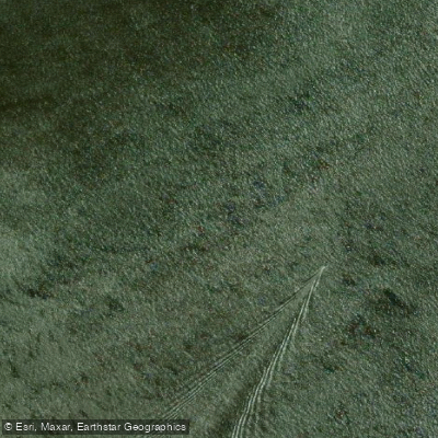
Miramichi River
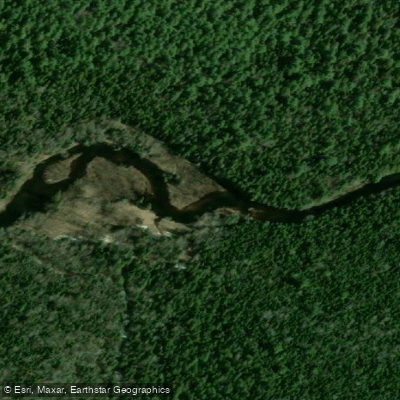
Kouchibouguac River
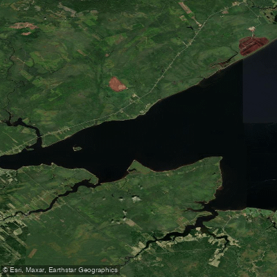
Miramichi River Estuary
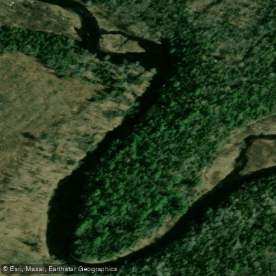
Kouchibouguacis River
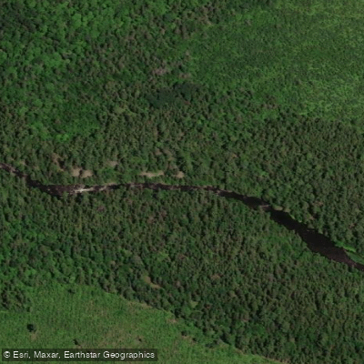
Northwest Miramichi River
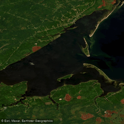
Miramichi Inner Bay / Baie intérieure de Miramichi,
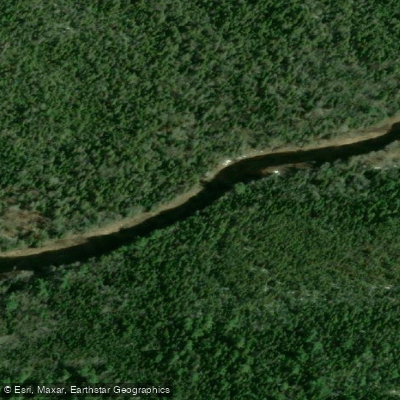
Bay du Vin River
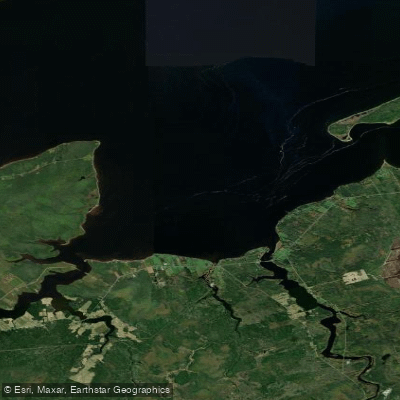
Bay du Vin
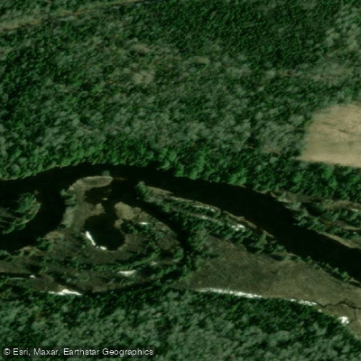
Richibucto River
Explore Nb waters
Top paddling waters
No waters available right now.
Popular Cities
Loading popular cities...
Explore near Black River

Smarter Paddling Starts in the App.
Paddleways gives you everything you need to plan smarter, paddle better, and own every trip from first launch to takeout.