Richibucto River
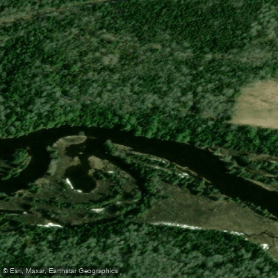
Richibucto River
- Boat Ramps
- 0
- Access Points
- 0
- Campsites
- 0
The Richibucto River is the central waterway of the second-largest drainage basin in southeastern New Brunswick, covering approximately 1,088 square kilometres with an average elevation of 45.5 metres above sea level. The drainage basin has a generally rectangular shape, and the broader Richibucto estuary system exceeds 1,400 square kilometres. The river is fed by three main tributaries: the main Richibucto River, the St. Charles River, and the St. Nicholas River. It flows toward the Northumberland Strait, where it meets the sea near the town of Richibucto.
The river is navigable by a range of watercraft, from kayaks and canoes to motorboats and jet skis. The lower reaches near Richibucto are described as deep and wide, providing easy access from the Northumberland Strait. Some tributary sections, such as the Molus River, become shallow and are not suitable for larger vessels. Paddlers should be aware that certain areas are unmarked and can get shallow, requiring caution. The village of Rexton sits at the mouth of the river in Kent County, and a paddle between Rexton and surrounding areas is a documented route. Wind can be a factor on open stretches, with conditions sometimes making paddling more challenging than expected.
Carson's Landing in Rexton, situated just past the bridge off River St., provides a formal boat launch with access for watercraft of all types. A day pass costs $15 and a season pass $60, with a docking permit required and displayed on the vehicle windshield. The Richibucto Marina, located in downtown Richibucto with 60 berths, offers gas and diesel at the public wharf, a launch ramp, washrooms with showers, water and electrical hookups, and ice. Restaurants, a fish market, pharmacy, bank, library, and post office are within 100 metres of the marina.
Whales, seals, and a variety of seabirds are wildlife in the area, particularly in the lower estuary near the Northumberland Strait. The river passes through a landscape with cultural and historical depth — Rexton was established in 1825 and has roots in the lumber and shipbuilding industries. The Richibucto River Association, formed in 1994, works to protect the river. Private waterfront accommodations with kayak and canoe access are available along the river for those planning multi-day trips.
Water access, boat ramps & amenities
Learn how to get on Richibucto River. Uncover great paddling access points, boat ramps, and all the facilities you need for an unforgettable day on the water. Some locations shown may border or include private property. Always check property boundaries and applicable regulations before visiting. PaddleWays's Public & Private Land layer can help you plan your access with confidence.
Paddle smarter with real-time insights
Whether you're en route and conditions shift or you're looking for the best spot based on current flows, we enable you to make informed decisions on the fly.







Nb licenses and regulations
No licenses or regulations available for Nb.
Find Places to Paddle

Over 400,000 Places to Paddle
Every user gets free access to launch points, boat ramps, and public property parcels.


Water and weather conditions (10 day forecast)
See the best times to paddle Richibucto River and check the forecast before you go.
No forecast data available.
Paddling near Richibucto River
Scoudouc River
Kennebecasis River
Baie de Shédiac
Cocagne River
Petitcodiac River
Shepody Bay
Point Wolfe River
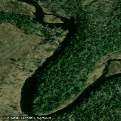
Kouchibouguacis River
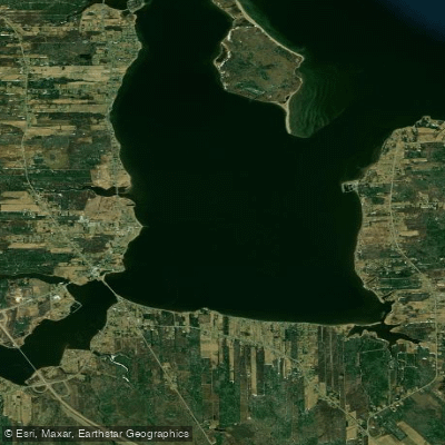
Havre de Cocagne
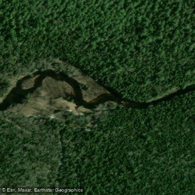
Kouchibouguac River
Explore Nb waters
Top paddling waters
No waters available right now.
Popular Cities
Loading popular cities...
Explore near Richibucto River

Smarter Paddling Starts in the App.
Paddleways gives you everything you need to plan smarter, paddle better, and own every trip from first launch to takeout.