Miramichi River
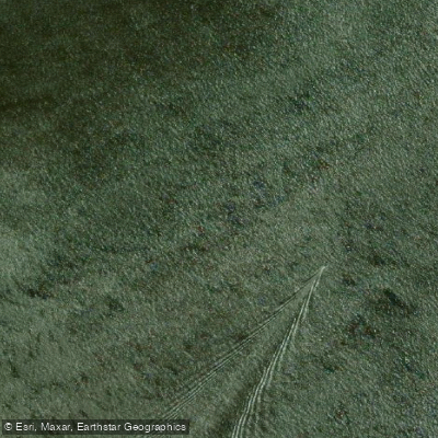
Miramichi River
- Boat Ramps
- 0
- Access Points
- 0
- Campsites
- 0
The Miramichi River is a roughly 250-kilometre river system draining east-central New Brunswick into Miramichi Bay on the Gulf of St. Lawrence. It consists of two main branches — the Southwest Miramichi and the Northwest Miramichi — along with numerous tributaries. The river has long been central to the region's logging and fishing industries, and its waters are considered among the cleanest in the world. Atlantic salmon are the river's most celebrated inhabitants, and the Miramichi basin historically supported one of the largest salmon populations in North America. Nearly every bend and rapid along the Southwest Miramichi carries a distinctive name reflecting centuries of use by Indigenous peoples, lumbermen, and sport anglers.
The Southwest Miramichi is the largest and longest branch of the system. One well-documented route runs approximately 70 kilometres from Half Moon Pit on Highway 107 near Deersdale to Boiestown, where the Taxis River joins the Southwest Miramichi — a trip typically completed over three days with no portages, suited to intermediate paddlers comfortable with moving water. A shorter section runs 11.3 kilometres from Priceville to Doaktown, with an elevation change of 18 metres, rated easy with moderate current and typically completed in two to three hours. The McNamee/Priceville Footbridge, the longest suspension footbridge in New Brunswick at 200 metres, serves as a notable landmark and common put-in for this section. Water levels can be monitored using the Environment Canada hydrometric gauge at Blackville (station 01BO001); a reading of around 1.5 metres generally means most rocks are covered and the river flows well.
The river is wide and gravelly through much of its length. Islands split the current into shallower, narrower channels, and choosing the wrong channel in low water may require wading. Late spring through early summer offers the best water levels, though the river typically carries enough volume to remain runnable through most of the paddling season. Unseasonably warm and dry conditions can reduce water levels significantly, making some sections very shallow by late summer or early fall.
Established campsites are plentiful along the river on multi-day routes, though firewood at popular sites tends to be picked clean, making it advisable to bring your own. Canoe, kayak, and tube rentals along with shuttle services are available from outfitters including Storeytown Cottages near Doaktown and Wilson's Sporting Camps. At the City of Miramichi, where the branches converge, the river becomes tidal, and paddlers should plan trips with tidal patterns in mind.
Water access, boat ramps & amenities
Learn how to get on Miramichi River. Uncover great paddling access points, boat ramps, and all the facilities you need for an unforgettable day on the water. Some locations shown may border or include private property. Always check property boundaries and applicable regulations before visiting. PaddleWays's Public & Private Land layer can help you plan your access with confidence.
Paddle smarter with real-time insights
Whether you're en route and conditions shift or you're looking for the best spot based on current flows, we enable you to make informed decisions on the fly.







Nb licenses and regulations
No licenses or regulations available for Nb.
Find Places to Paddle

Over 400,000 Places to Paddle
Every user gets free access to launch points, boat ramps, and public property parcels.


Water and weather conditions (10 day forecast)
See the best times to paddle Miramichi River and check the forecast before you go.
No forecast data available.
Paddling near Miramichi River
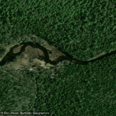
Kouchibouguac River
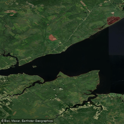
Miramichi River Estuary
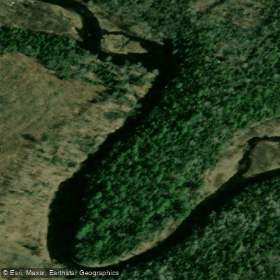
Kouchibouguacis River
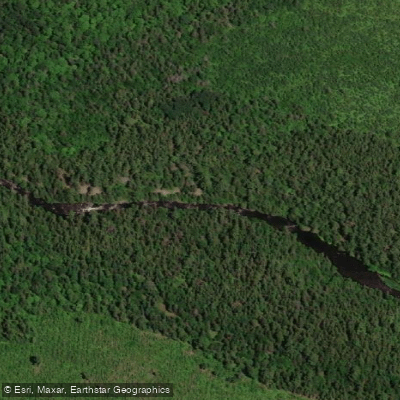
Northwest Miramichi River
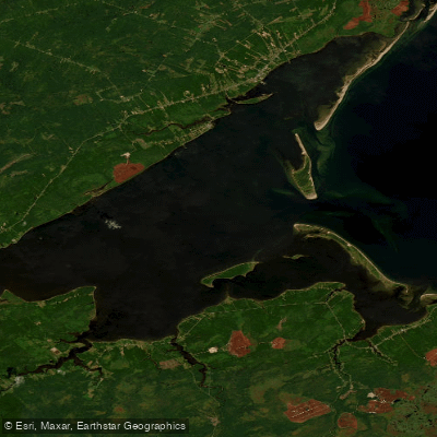
Miramichi Inner Bay / Baie intérieure de Miramichi,
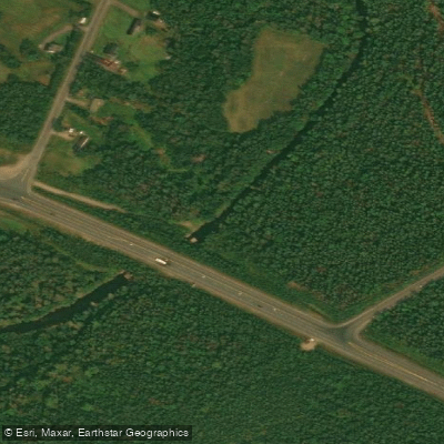
Black River
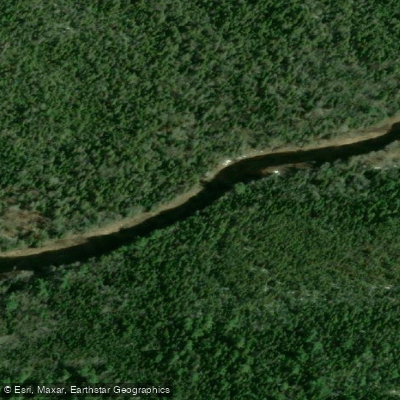
Bay du Vin River
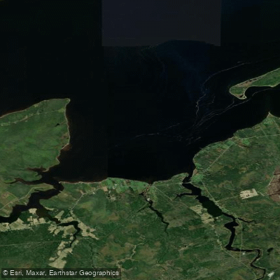
Bay du Vin
Richibucto River
Explore Nb waters
Top paddling waters
No waters available right now.
Popular Cities
Loading popular cities...
Explore near Miramichi River

Smarter Paddling Starts in the App.
Paddleways gives you everything you need to plan smarter, paddle better, and own every trip from first launch to takeout.