Miramichi Inner Bay / Baie intérieure de Miramichi,
- Saltwater
- Bay
Miramichi Inner Bay / Baie intérieure de Miramichi,
- Saltwater
- Bay
- Sq. miles
- 70
- Boat Ramps
- 0
- Access Points
- 0
- Campsites
- 0
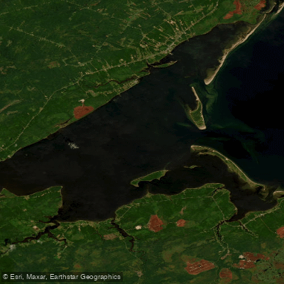
Miramichi Inner Bay is a large, shallow estuary forming part of Miramichi Bay on the Gulf of St. Lawrence in New Brunswick. It is separated from the outer bay by a line of uninhabited barrier islands, including Portage Island, which provide some protection from ocean storms. The bay is a drowned river valley, featuring the flooded, meandering ancient channel of the Miramichi River, which serves as a navigable route for ships. The inner bay is triangular in shape and extensive, with the overall Miramichi Bay system covering a surface area greater than 300 square kilometers. The inner bay itself averages only 4 meters in depth, with the navigation channel ranging from 6 to 10 meters deep. The environment is highly dynamic, subject to significant freshwater outflow during the spring freshet, rising saltwater content in summer, fall storms that reshape the islands and channels, and complete encasement by winter sea ice. The shallow waters warm rapidly during the summer. For paddlers, this indicates a saltwater environment with significant tidal influence and exposure to wind and weather from the Gulf, particularly where unprotected by the barrier islands. The presence of a shipping channel necessitates awareness of boat traffic when crossing or paddling near the navigable route. The uninhabited barrier islands and the historic, meandering channel are notable geographical features.
Water access, boat ramps & amenities
Learn how to get on Miramichi Inner Bay / Baie intérieure de Miramichi,. Uncover great paddling access points, boat ramps, and all the facilities you need for an unforgettable day on the water. Some locations shown may border or include private property. Always check property boundaries and applicable regulations before visiting. PaddleWays's Public & Private Land layer can help you plan your access with confidence.
Paddle smarter with real-time insights
Whether you're en route and conditions shift or you're looking for the best spot based on current flows, we enable you to make informed decisions on the fly.







Nb licenses and regulations
No licenses or regulations available for Nb.
Find Places to Paddle

Over 400,000 Places to Paddle
Every user gets free access to launch points, boat ramps, and public property parcels.


Tides, wind & water conditions (10 day forecast)
On open water, wind and tide matter as much as the weather. See the best times to paddle Miramichi Inner Bay / Baie intérieure de Miramichi, and check the marine forecast before you launch.
Loading tide predictions…
Paddling near Miramichi Inner Bay / Baie intérieure de Miramichi,
Miramichi River
Kouchibouguac River
Miramichi River Estuary
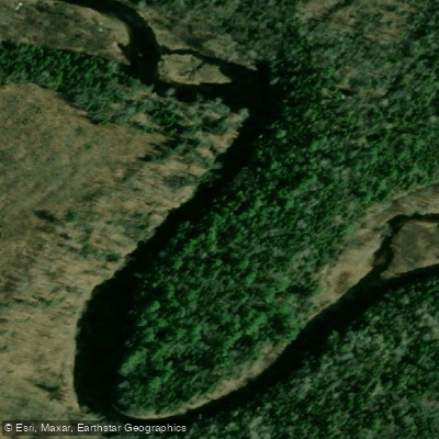
Kouchibouguacis River
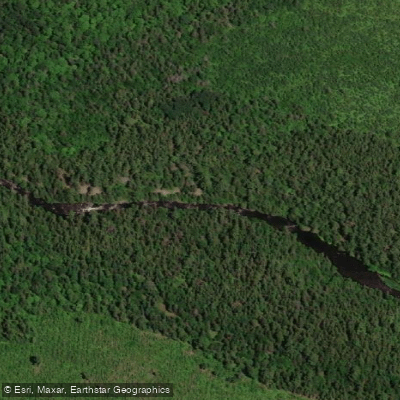
Northwest Miramichi River
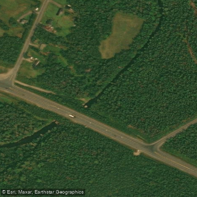
Black River
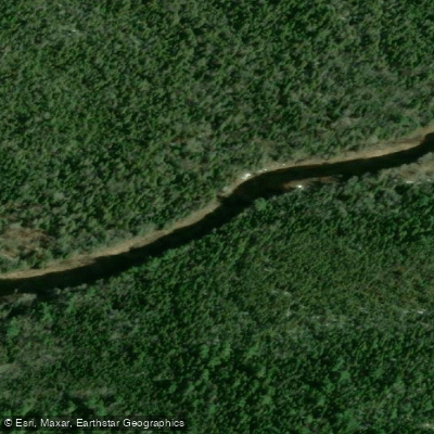
Bay du Vin River
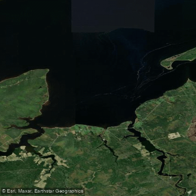
Bay du Vin
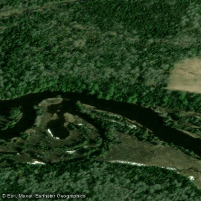
Richibucto River
Explore Nb waters
Top paddling waters
No waters available right now.
Popular Cities
Loading popular cities...
Explore near Miramichi Inner Bay / Baie intérieure de Miramichi,

Smarter Paddling Starts in the App.
Paddleways gives you everything you need to plan smarter, paddle better, and own every trip from first launch to takeout.