Chignecto Bay
- Saltwater
- Bay
Chignecto Bay
- Saltwater
- Bay
- Sq. miles
- 307
- Boat Ramps
- 0
- Access Points
- 0
- Campsites
- 0
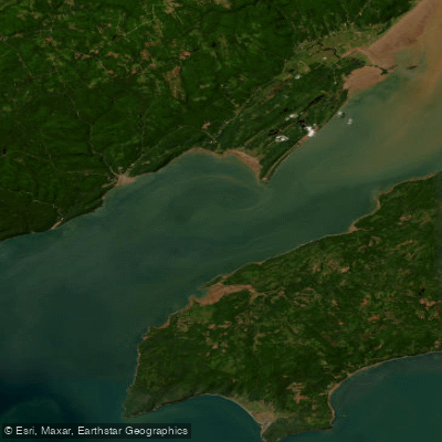
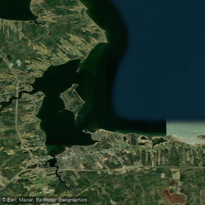
Chignecto Bay is a large, coastal arm of the Bay of Fundy, separating central Nova Scotia from southeastern New Brunswick. It is characterized by the world's highest tides, with a significant tidal range that creates powerful and complex currents. The coastline is rugged, featuring steep bedrock cliffs up to 200 feet high, basalt sea stacks, caves, and mixed forests. A notable geological feature is the Cobuid fault line. Primary launch and take-out points are on the Nova Scotia side, including Spicer's Cove and Apple River Bay, where an old bus converted to a shelter is noted. On the New Brunswick side, the Alma area and Cape Enrage are indicated as locations with activity. Paddling here requires serious preparation for variable and often severe conditions. The Bay of Fundy can generate rough seas, strong winds, and dense fog even on calm days. The extreme tides dictate that all trip planning must revolve around tidal currents; it is best to plan launches and arrivals to align with the dominant current flow. A major attraction for kayakers is the group of basalt sea stacks known as The Three Sisters, located near Cape Chignecto Provincial Park. At high tide, paddlers can navigate around them, and at low tide, they can be explored on foot. Overnight camping within Cape Chignecto Provincial Park requires registration, which can be done by phone. The water is deep off prominent capes like Cape Enrage, which itself is a significant navigational hazard extending a third of the way across the bay with a submerged rocky spur. The summer season is referenced for paddling, but conditions remain challenging. The area is also noted for its historical significance regarding North Atlantic right whales.
Water access, boat ramps & amenities
Learn how to get on Chignecto Bay. Uncover great paddling access points, boat ramps, and all the facilities you need for an unforgettable day on the water. Some locations shown may border or include private property. Always check property boundaries and applicable regulations before visiting. PaddleWays's Public & Private Land layer can help you plan your access with confidence.
Paddle smarter with real-time insights
Whether you're en route and conditions shift or you're looking for the best spot based on current flows, we enable you to make informed decisions on the fly.







Nb licenses and regulations
No licenses or regulations available for Nb.
Find Places to Paddle

Over 400,000 Places to Paddle
Every user gets free access to launch points, boat ramps, and public property parcels.


Tides, wind & water conditions (10 day forecast)
On open water, wind and tide matter as much as the weather. See the best times to paddle Chignecto Bay and check the marine forecast before you launch.
Loading tide predictions…
Paddling near Chignecto Bay
Explore Nb waters
Top paddling waters
No waters available right now.
Popular Cities
Loading popular cities...
Explore near Chignecto Bay

Smarter Paddling Starts in the App.
Paddleways gives you everything you need to plan smarter, paddle better, and own every trip from first launch to takeout.