Avon River
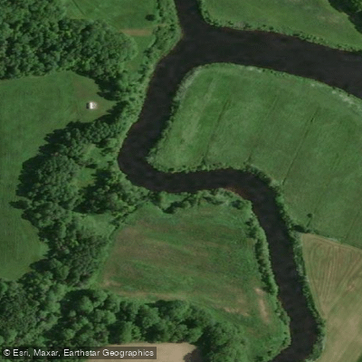
Avon River
- Boat Ramps
- 0
- Access Points
- 0
- Campsites
- 0
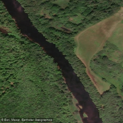
The Avon River flows through Hants County in Nova Scotia, eventually reaching Windsor, and is documented on topographic map 21A/16 (Windsor sheet). No dedicated paddling maps of the river are known to exist. The river is dam-controlled, meaning flow levels depend on dam operations, which paddlers should account for when planning a trip.
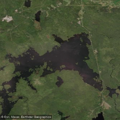
The headwaters originate at Card Lake, a reservoir, but the area immediately downstream is not accessible by paddle or portage. The upper river becomes navigable at Gilberts Stillwater, though reaching it requires a long portage or ATV trail from The Stillwater, which is the upstream portion of Zwicker Lake. Zwicker Lake has highway access at its outlet. From Gilberts Stillwater, there is a short run downstream, or an alternative portage on river right along a road, leading to Mockingigh Lake. Paddlers can continue from there to Falls Lake, though the dam at Falls Lake has no ungated road access. The remains of high falls are visible just downstream of that dam.
A documented route referenced in Canoe Kayak Routes of Nova Scotia runs from Route 14 through the Avon River, past the confluence with the West Branch, through Windsor Forks and Pesaquid Lake, finishing at Windsor. A Power House put-in is also used for downstream paddling, with the stretch noted for its historical character and fishing opportunities. The West Avon River Falls, accessible near Martock off Highway 14 via Sangster Bridge Road, is a feature of interest in the broader watershed.
Given the dam-controlled nature of the river, paddlers should verify water levels and dam schedules before launching, as conditions can vary significantly depending on operations upstream.
Water access, boat ramps & amenities
Learn how to get on Avon River. Uncover great paddling access points, boat ramps, and all the facilities you need for an unforgettable day on the water. Some locations shown may border or include private property. Always check property boundaries and applicable regulations before visiting. PaddleWays's Public & Private Land layer can help you plan your access with confidence.
Paddle smarter with real-time insights
Whether you're en route and conditions shift or you're looking for the best spot based on current flows, we enable you to make informed decisions on the fly.








Find Places to Paddle

Over 400,000 Places to Paddle
Every user gets free access to launch points, boat ramps, and public property parcels.


Water and weather conditions (10 day forecast)
See the best times to paddle Avon River and check the forecast before you go.
No forecast data available.
Explore Ns waters
Top paddling waters
No waters available right now.
Popular Cities
Loading popular cities...
Explore near Avon River

Smarter Paddling Starts in the App.
Paddleways gives you everything you need to plan smarter, paddle better, and own every trip from first launch to takeout.