LaHave River
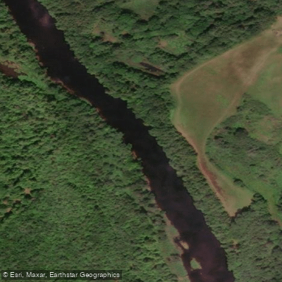
LaHave River
- Boat Ramps
- 3
- Access Points
- 0
- Campsites
- 0
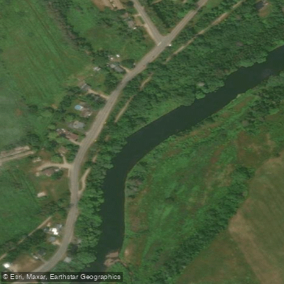
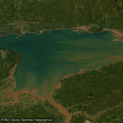
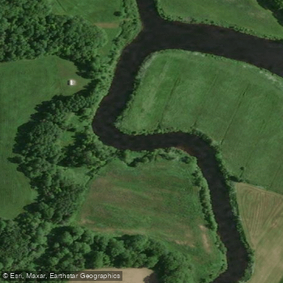
The LaHave River in Nova Scotia flows through Lunenburg County, draining from the interior highlands to the Atlantic Ocean. The river is navigable from the Atlantic for approximately 15 miles (roughly 24 km) to the town of Bridgewater, where navigable water ends at the first of two bridges. The river's character shifts considerably along its length: the upper reaches above Bridgewater offer whitewater paddling, while the lower tidal section from Bridgewater to the river's mouth presents a calmer, pastoral experience.
For paddlers interested in the upper river, the main route runs from New Germany Lake to Bridgewater, passing through Morgan Falls, Pinehurst, Wentzell Lake, the confluence of the North Branch, Wentzell Falls, Keddy Falls, Bruhms Lake, Frideaux Falls, the confluence of the West LaHave River, Mossman Corner, Cookville, Cooks Falls, and the Highway 103 bridge before reaching Bridgewater. The North Branch offers an additional route from Sherbrooke Lake to Pinehurst, including a whitewater section. The West LaHave runs from Rhyno Lake through Hirtle's Falls and Kayak Falls to its junction with the main river at Frideaux Falls. Cooks Falls near Bridgewater is a notable whitewater feature; video documentation shows it running at 3.2 metres on the river gauge.
The tidal section from Bridgewater downstream to the community of LaHave is described as peaceful and pastoral, becoming more populated at Conquerall Bank and Upper LaHave before narrowing at Dayspring. The river's mouth is guarded by several islands, including the LaHave Islands where George, Bush, Jenkin, and Bell Islands are connected by causeways and bridges. The Fort Point Museum on the west side of the estuary serves as a put-in point for paddling the lower river.
Cape LaHave Adventures, based at 14 Bell's Cove Road in Dublin Shore, offers guided half-day, full-day, multi-day, and seasonal tours on the river and surrounding area, catering to beginners and up. The Bridgewater Marina on the east side of the river and a boat launch ramp in Bridgewater provide infrastructure for paddlers accessing the tidal section. The LaHave River Yacht Club is located at Pernettes Cove, approximately two miles upstream from the river mouth. The river carries over three centuries of European settlement history, with Samuel de Champlain credited with mapping and naming it in 1604, and Mi'kmaq presence in the area dating back approximately 6,000 years.
Water access, boat ramps & amenities
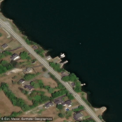
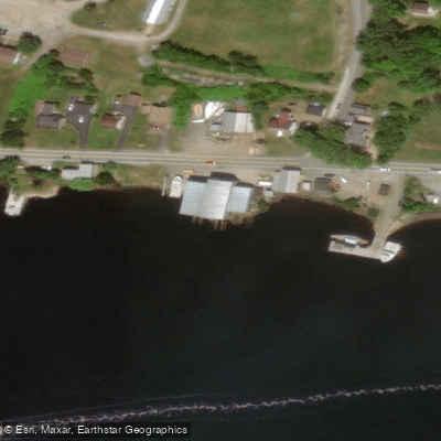
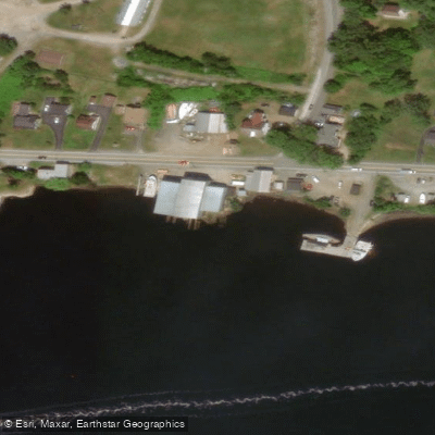
Learn how to get on LaHave River. Uncover great paddling access points, boat ramps, and all the facilities you need for an unforgettable day on the water. Some locations shown may border or include private property. Always check property boundaries and applicable regulations before visiting. PaddleWays's Public & Private Land layer can help you plan your access with confidence.
Paddle smarter with real-time insights
Whether you're en route and conditions shift or you're looking for the best spot based on current flows, we enable you to make informed decisions on the fly.








Find Places to Paddle

Over 400,000 Places to Paddle
Every user gets free access to launch points, boat ramps, and public property parcels.


Water and weather conditions (10 day forecast)
See the best times to paddle LaHave River and check the forecast before you go.
LAHAVE RIVER AT WEST NORTHFIELD
Explore Ns waters
Top paddling waters
No waters available right now.
Popular Cities
Loading popular cities...
Explore near LaHave River

Smarter Paddling Starts in the App.
Paddleways gives you everything you need to plan smarter, paddle better, and own every trip from first launch to takeout.