Nictaux River
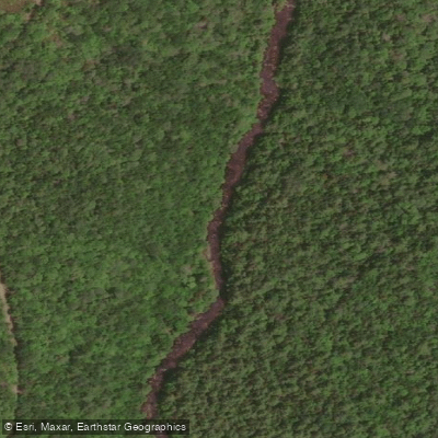
Nictaux River
- Boat Ramps
- 0
- Access Points
- 0
- Campsites
- 0
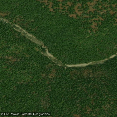
The Nictaux River in Nova Scotia's Annapolis County flows down the north face of the South Mountain toward the Annapolis Valley floor, winding through largely undeveloped woodland that gives paddlers a genuine sense of remoteness. The primary paddling route (Route 18 in the Canoe Annapolis County guide) runs 21 kilometres from Shannon Lake to the Nova Scotia Power canal near the Nictaux Reservoir, and is typically completed as a two-day trip, though shorter sections can be paddled depending on chosen access points.
The route begins with a short paddle through Shannon Lake before entering the Nictaux River proper. Notable features along the way include Flat Rapids, Scotchmans Lip, Cowling, Meadows, Big Rapids, and Alpena Rapids, before reaching the dam and the Nova Scotia Power canal. There are three sets of rapids in total; all can be bypassed via portages. Alpena Rapids in particular has been described by paddlers as impressive and technically demanding. Scotchmans Lip is another notable rapid that has caught out canoeists. The route is classified as intermediate, meaning it will test moving water skills.
Water levels on the Nictaux River fluctuate according to the demands of Nova Scotia Power's Nictaux hydroelectric development, which controls releases from upstream storage reservoirs. Paddling is recommended only at moderate to high water levels, as low water does not provide sufficient volume for easy passage. Due to these fluctuations, many paddlers opt to paddle the canal and carry into the Nictaux Dam head pond for a day exploration and return, rather than committing to the full river route.
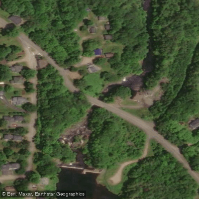
The primary access point is the Shannon River Canoe Access Park, owned and managed by the County of Annapolis, which offers parking, a small picnic area, and launch facilities for canoes and kayaks. This park also provides access to the Shannon and Nictaux Rivers as well as several nearby lakes including McGill, Big Moly Upsim, and Shannon Lakes. Additional parking is available at Scotchmans Lip and at the dam site. The approach to the upper put-in is south from Middleton approximately 28 kilometres along Highway 10, past Albany Cross and the West Dalhousie Road intersection, to the bridge at Shannon River. The river is also noted for American shad and striped bass fishing.
Water access, boat ramps & amenities
Learn how to get on Nictaux River. Uncover great paddling access points, boat ramps, and all the facilities you need for an unforgettable day on the water. Some locations shown may border or include private property. Always check property boundaries and applicable regulations before visiting. PaddleWays's Public & Private Land layer can help you plan your access with confidence.
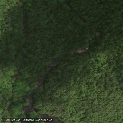

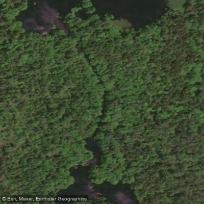
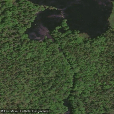
Paddle smarter with real-time insights
Whether you're en route and conditions shift or you're looking for the best spot based on current flows, we enable you to make informed decisions on the fly.








Find Places to Paddle

Over 400,000 Places to Paddle
Every user gets free access to launch points, boat ramps, and public property parcels.


Water and weather conditions (10 day forecast)
See the best times to paddle Nictaux River and check the forecast before you go.
No forecast data available.
Explore Ns waters
Top paddling waters
No waters available right now.
Popular Cities
Loading popular cities...
Explore near Nictaux River

Smarter Paddling Starts in the App.
Paddleways gives you everything you need to plan smarter, paddle better, and own every trip from first launch to takeout.