Humber Bay Park Shoreline Access
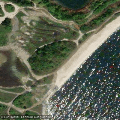
Humber Bay Park Shoreline Access
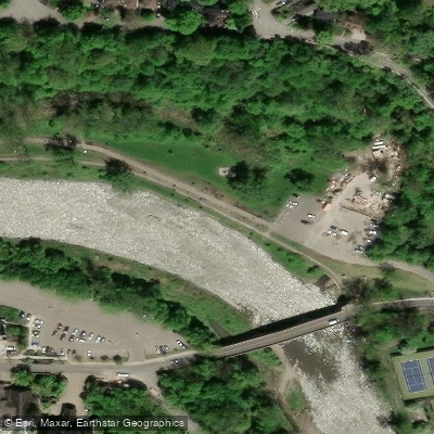
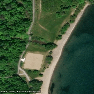
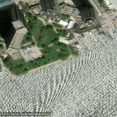
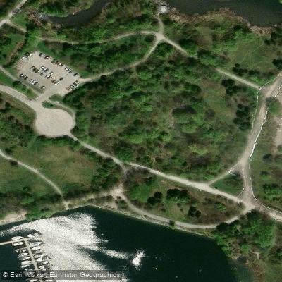
Humber Bay Park Shoreline Access sits at the mouth of Mimico Creek, where the creek discharges into Lake Ontario between the park's two large man-made peninsulas — Humber Bay Park East and Humber Bay Park West.
The 138-hectare park complex was established in 1984 and is owned by the Toronto and Region Conservation Authority and operated by the City of Toronto.
Despite the park being surrounded by water on three sides and bisected by Mimico Creek, the 2019 Humber Bay Park Master Plan noted that direct shoreline access within the park is limited.
The site connects to the broader Waterfront Trail and regional cycling networks, and is reachable by public transit.
The shoreline and open water attract a variety of waterfowl and shorebirds, making the area a draw for naturalists and anglers alongside recreational users.
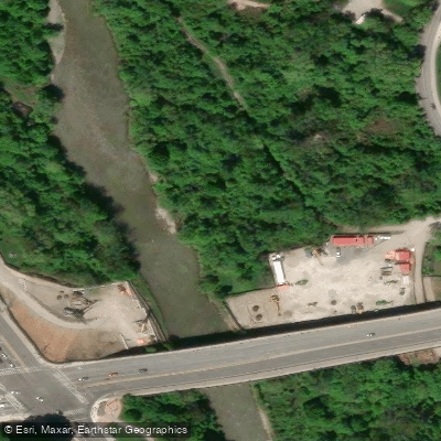
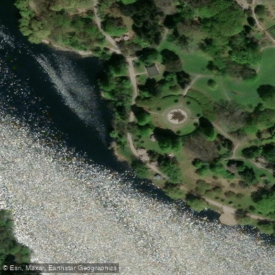
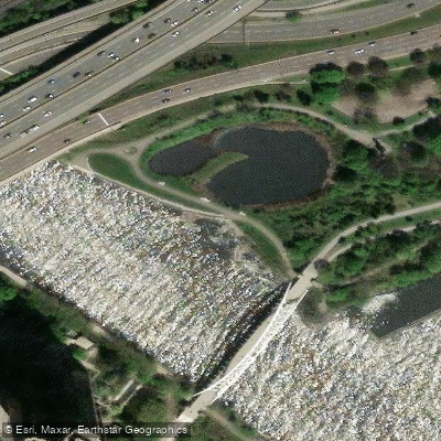
Nearby points of interest
Find excellent paddling spots, easy access to boat ramps, and all the amenities you need for a memorable day. Your adventure starts here.
Water and weather conditions (10 day forecast)
Check the forecast at Humber Bay Park Shoreline Access before you go paddling.
No forecast data available.
Paddling near Humber Bay Park Shoreline Access

Humber River
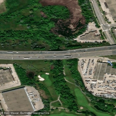
Mimico Creek
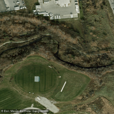
Etobicoke Creek
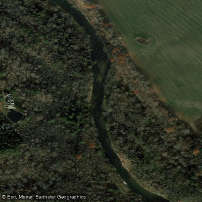
Credit River

Don River
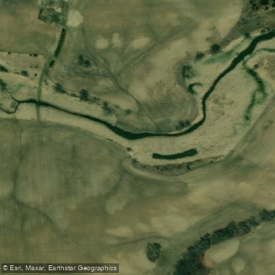
Sixteen Mile Creek

Duffins Creek
Holland River East Branch
Bronte Creek

Holland River
On licenses and regulations
Explore On waters
Top paddling waters
No waters available right now.
Popular Cities
Loading popular cities...
Explore near Humber Bay Park Shoreline Access
Nearby spots
- 45 Ontario Place Marina Boat Ramp
- 46 Outer Harbour Marina Boat Ramp
- Boat Ramp A
- Boat Ramp B
- Humber Bay Park Boat Ramp
- Humber Bay West Boat Ramp
- Humber Bay West East Boat Ramp
- Humber River Kayak Launch
- Island Yacht Club Boat Ramp
- Lake Front Promenade Marina Boat Ramp
- Lakefront Promenade Park Boat Ramp
- Marie Curtis Park Boat Ramp
- All 26 nearby spots
Nearby waters
More in On

Smarter Paddling Starts in the App.
Paddleways gives you everything you need to plan smarter, paddle better, and own every trip from first launch to takeout.