Allumette Lake
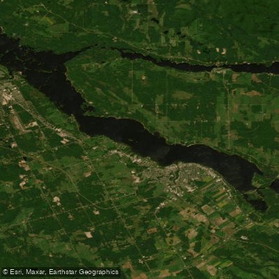
Allumette Lake
- Boat Ramps
- 3
- Access Points
- 0
- Campsites
- 0
Allumette Lake is a prominent widening of the Ottawa River in Renfrew County, eastern Ontario, spanning approximately 70 kilometres in length. It straddles the Ontario-Quebec provincial border and encompasses several islands, the largest of which is Allumette Island — the largest island in the Ottawa River system. The lake sits near the cities of Pembroke and Petawawa on the Ontario side. With little discernible current throughout most of its length, the water is predominantly flatwater, making it accessible for canoes and kayaks. The recommended paddling season runs from May to October.
Wind is a significant hazard on this large body of water. As part of the Ottawa River system, wind can generate large waves capable of swamping a canoe, and paddlers are advised to stay close to shore, particularly in spring and late fall when water temperatures are dangerously low. Upstream of the George Matheson Park access point, Ile Morrison is surrounded by rapids on both sides, so paddlers launching from that location should avoid heading too far upstream.
Ontario Power Generation operates hydroelectric dams and stations along the Ottawa River, which is an additional safety consideration for trip planning.
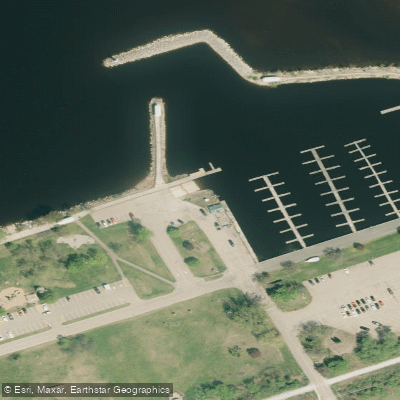
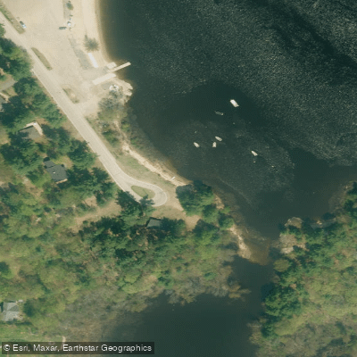
Two primary access points serve paddlers on the Ontario side. Pembroke's waterfront features a full-service marina with launching ramps, seasonal slips, fuel, and pump-out facilities. George Matheson Park, located just outside Pembroke across the river from Westmeath, offers a short path leading to the water and is suitable for day trips exploring the lake. From Pembroke, paddlers can access Allumette Lake directly, with the option of out-and-back trips given the minimal current.
Suggested day trips in the broader area include a Pembroke-to-Allumette Island route. For those interested in multi-day travel, the lake connects to the larger Ottawa River corridor, with routes ranging from two to several days available upstream and downstream.
Historically, the lake — known to the Algonquin as Wadabidoc Okik — was a significant location in early European exploration of North America, associated with French explorer Samuel de Champlain and Algonquin peoples. The lake supports species such as lake sturgeon and serves as a water supply source for local communities.
Water access, boat ramps & amenities
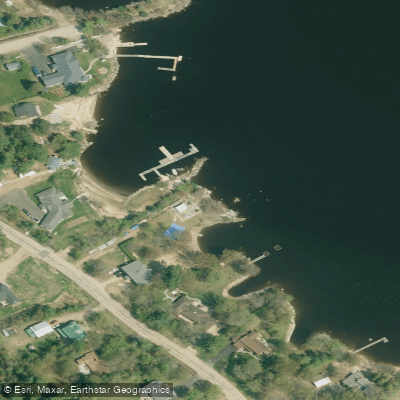
Learn how to get on Allumette Lake. Uncover great paddling access points, boat ramps, and all the facilities you need for an unforgettable day on the water. Some locations shown may border or include private property. Always check property boundaries and applicable regulations before visiting. PaddleWays's Public & Private Land layer can help you plan your access with confidence.
Paddle smarter with real-time insights
Whether you're en route and conditions shift or you're looking for the best spot based on current flows, we enable you to make informed decisions on the fly.








Find Places to Paddle

Over 400,000 Places to Paddle
Every user gets free access to launch points, boat ramps, and public property parcels.


Water and weather conditions (10 day forecast)
See the best times to paddle Allumette Lake and check the forecast before you go.
No forecast data available.
Paddling near Allumette Lake

Ottawa River
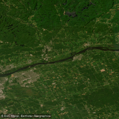
Ottawa River
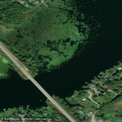
Rideau River
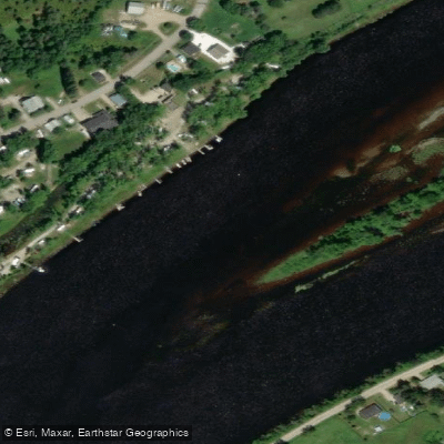
Rivière Gatineau
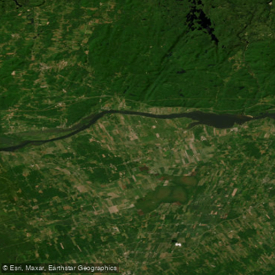
Lac Dollard-des-Ormeaux
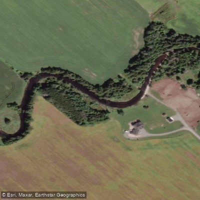
Jock River
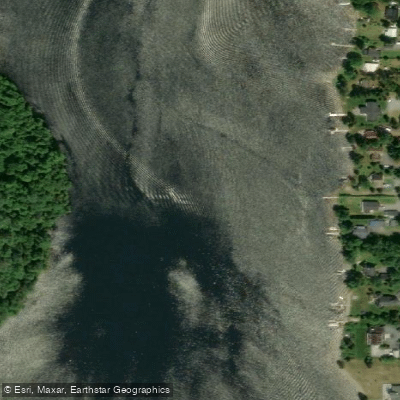
Rivière du Lièvre
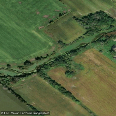
Stevens Creek
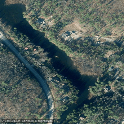
Rivière Blanche
Mississippi River
Explore On waters
Top paddling waters
No waters available right now.
Popular Cities
Loading popular cities...
Explore near Allumette Lake

Smarter Paddling Starts in the App.
Paddleways gives you everything you need to plan smarter, paddle better, and own every trip from first launch to takeout.