Rivière Welland
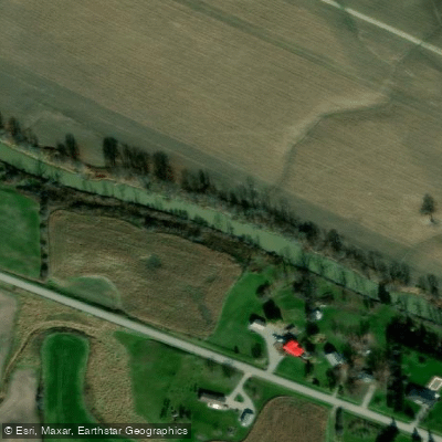
Rivière Welland
- Boat Ramps
- 7
- Access Points
- 0
- Campsites
- 1
The Welland River, historically known as Chippawa Creek by the local Ojibwa peoples and renamed by Upper Canada's first lieutenant governor John Graves Simcoe, stretches over 50 kilometres through the Niagara Region of Ontario. The river originates near the John C. Munro Airport in Hamilton and flows east until it meets the Niagara River at Chippawa. It was once integrated into the original Welland Canal system, serving as a route for cargo and transport vessels travelling to Port Davidson and onward to the Niagara River.
The river is generally deep and slow-moving with very little current, making it accessible to beginner and intermediate paddlers. Flows can increase during hydro plant operations or in spring, so conditions should be checked accordingly. One notable feature is the aqueduct in the urban Welland stretch — a tunnel system that passes beneath the Welland Canal, connecting the east and west sides of the river. The river eventually feeds into the hydroelectric dam system that supplies the Niagara Falls power station.
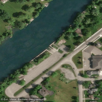
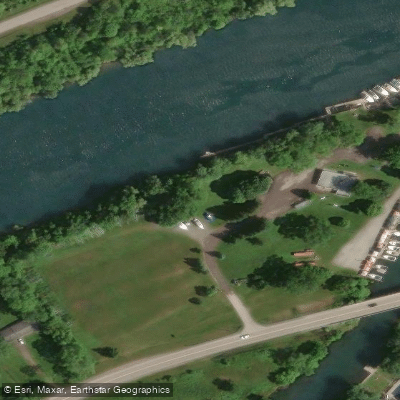
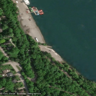
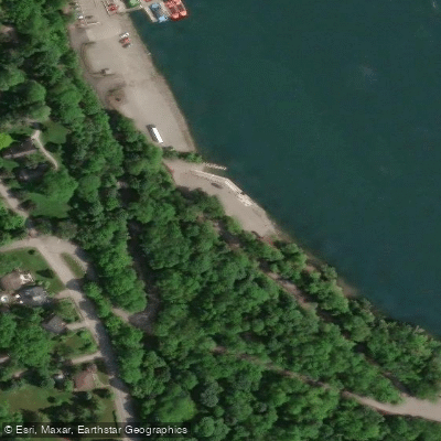
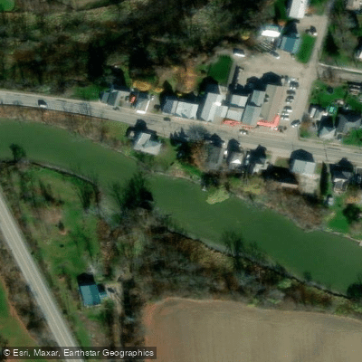
A well-used launch point is the Wellandport Community Centre, which has a large parking lot accommodating trailers and cars, along with two smaller lots. From Wellandport, paddlers can head west toward Welland or east toward the Chippawa Creek Conservation Area. The City of Welland also maintains a gravel ramp with a dock on River Road, just north of Almond Street, and there is small dock access at Merritt Island in Welland. All of these launches are free of charge.
The river is a mixed-use waterway shared with jet skis and motorized boats, so paddlers should stay to the outside of corners when navigating bends. The banks are steep and muddy along much of the route, making it difficult to find spots to exit the water mid-trip. Scenery along the river includes farmland, Carolinian tree lines, and turtles are frequently spotted. The urban Welland section passes the old courthouse and town hall. Sunsets over the river are noted as a highlight.
Because the river offers an out-and-back paddle with minimal current, trip length is flexible. A 13-kilometre round trip from the Wellandport launch takes approximately three to four hours. Paddlers should carry all Transport Canada required safety equipment, including a PFD, and a throw rope and spare paddle are recommended given the moving water and limited exit points.
Water access, boat ramps & amenities
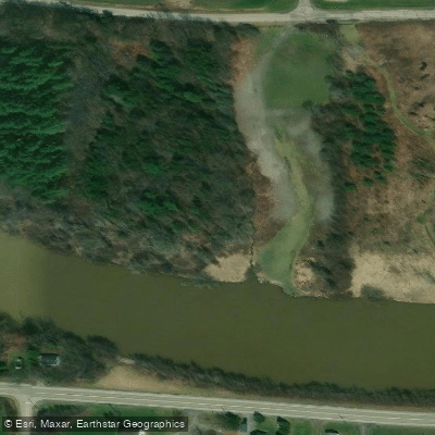
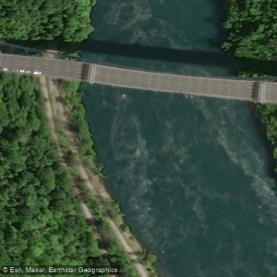
Learn how to get on Rivière Welland. Uncover great paddling access points, boat ramps, and all the facilities you need for an unforgettable day on the water. Some locations shown may border or include private property. Always check property boundaries and applicable regulations before visiting. PaddleWays's Public & Private Land layer can help you plan your access with confidence.
Paddle smarter with real-time insights
Whether you're en route and conditions shift or you're looking for the best spot based on current flows, we enable you to make informed decisions on the fly.








Find Places to Paddle

Over 400,000 Places to Paddle
Every user gets free access to launch points, boat ramps, and public property parcels.


Water and weather conditions (10 day forecast)
See the best times to paddle Rivière Welland and check the forecast before you go.
NIAGARA RIVER AT LEWISTON NY
All Flow Stations
Paddling near Rivière Welland
Explore On waters
Top paddling waters
No waters available right now.
Popular Cities
Loading popular cities...
Explore near Rivière Welland
Access points
Nearby waters
More in On

Smarter Paddling Starts in the App.
Paddleways gives you everything you need to plan smarter, paddle better, and own every trip from first launch to takeout.