Lac Ontario
Lac Ontario
- Boat Ramps
- 5
- Access Points
- 0
- Campsites
- 0
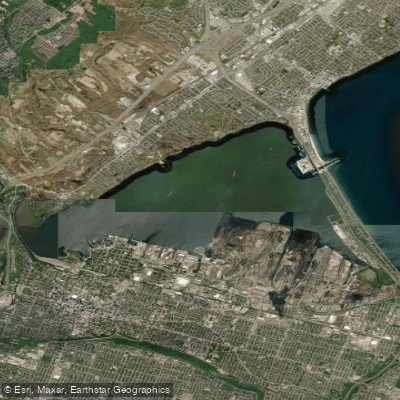
Lake Ontario is the smallest of the Great Lakes by surface area and sits on the border between Ontario and the United States. It is a large, open body of water capable of generating ocean-like conditions, with winds that can develop quickly and create significant wave action. Paddlers should treat it with the same respect afforded to open coastal water, and prior experience in long-distance paddling, night paddling, and open water sea kayaking is strongly advised for any extended trips. A proper ID, such as an Enhanced Driver's License or Passport, is required when crossing into Canada from the U.S. side.
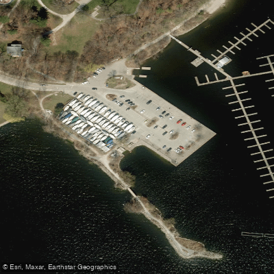
Access points along the Ontario shoreline are numerous. In the Toronto area, Cherry Beach provides a practical put-in with access to the Toronto Islands, where paddlers can explore sheltered internal waterways, the bird sanctuary, and the clothing-optional beach at Hanlan's Point. The Eastern Approach between Cherry Beach and the Islands is comparatively exposed and warrants caution. Bluffer's Park at the base of the Scarborough Bluffs offers beach access beneath dramatic cliffs that reach 90 metres, with change rooms and showers on site. Rouge Beach, east of Toronto, provides free parking and the option to paddle up the Rouge River if lake conditions deteriorate.
Further west, Coronation Park in Oakville and Bayfront Park in Hamilton serve as launch points for exploring the shoreline and adjacent marshes such as Grindstone. The 50 Point Conservation Area on the south shore offers full marina amenities and a roughly 6-kilometre round trip east toward Casablanca Beach, with views of the Niagara Escarpment. Shipyard Park allows entry to the lake via Sixteen Mile Creek. At the eastern end of the lake, Niagara-on-the-Lake marks the mouth of the Niagara River and has been used as a starting point for long-distance crossings to Toronto, a journey of approximately 34 miles along the shoreline.
Wind is the primary hazard on Lake Ontario and is described as nearly guaranteed at some locations. Paddlers planning any trip on this lake should monitor forecasts carefully and have a plan to seek shelter or paddle up tributary rivers if conditions worsen.
Water access, boat ramps & amenities
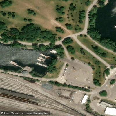
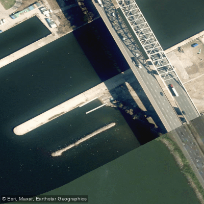
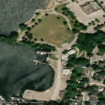
Learn how to get on Lac Ontario. Uncover great paddling access points, boat ramps, and all the facilities you need for an unforgettable day on the water. Some locations shown may border or include private property. Always check property boundaries and applicable regulations before visiting. PaddleWays's Public & Private Land layer can help you plan your access with confidence.
Paddle smarter with real-time insights
Whether you're en route and conditions shift or you're looking for the best spot based on current flows, we enable you to make informed decisions on the fly.








Find Places to Paddle

Over 400,000 Places to Paddle
Every user gets free access to launch points, boat ramps, and public property parcels.


Water and weather conditions (10 day forecast)
See the best times to paddle Lac Ontario and check the forecast before you go.
LAKE ONTARIO AT BURLINGTON
Paddling near Lac Ontario
Explore On waters
Top paddling waters
No waters available right now.
Popular Cities
Loading popular cities...
Explore near Lac Ontario
Access points
Nearby waters
More in On

Smarter Paddling Starts in the App.
Paddleways gives you everything you need to plan smarter, paddle better, and own every trip from first launch to takeout.