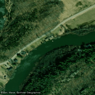
Crick Run
RouteFlatwater
- Distance
- 6 mi
- Paddle time
- ~2 hrs
- Put-in → take-out
- Marble Rock Road Access → Queen Street Access
Strong headwinds on open lake-like sections
The Gananoque River flows through the town of Gananoque in eastern Ontario, emptying into the St. Lawrence River in the heart of the Thousand Islands region. The river offers a calm, easy paddle suited to canoes and kayaks, with relatively flat water and a peaceful atmosphere. Vegetation, including floating grass and aquatic plants, is common along the route. The river is home to a variety of bird species and turtles, making it a pleasant stretch for wildlife observation. Paddlers should be aware that upstream travel is limited by a dam, so the navigable section within town is relatively short.
Several launch points provide access to the Gananoque River. The River Street Boat Launch at the north end of River Street offers complimentary use for smaller boats, kayaks, and canoes. A newer dedicated canoe and kayak launch was completed in April 2024 at 165 River Street in Steelworkers' Park, also with limited complimentary parking and free use for smaller craft. Both launches are operated on an "at own risk" basis. An additional public boat ramp with free parking is located near the dog park, across from the canoe club, at approximately 44.329°N, 76.167°W.
From the river's mouth, paddlers can connect to the St. Lawrence River and explore the broader Thousand Islands area. A popular route involves launching from Gananoque, paddling around the Joel Stone Lighthouse, and then heading into the Gananoque River itself. Cruise ships operate in the St. Lawrence near the river's mouth, so paddlers should remain alert to vessel traffic in that area. The Thousand Islands Boat Museum is visible along the shoreline on this route, and the Watermark Restaurant sits on the waterfront and may offer an opportunity to stop for a meal.
The town of Gananoque's municipal office can be reached at 613-382-2149 for additional information. All river launches are free to use for kayaks and canoes, though parking in the Lowertown area near Joel Stone Heritage Park is paid and managed through the Honk Mobile App or on-site kiosks.
Curated routes
Hand-picked by the PaddleWays team, with put-ins, take-outs, paddle times and the hazards along the way.
RouteFlatwater
Hazards
No paddler has reported a hazard here yet, so these are the dams, falls and big rapids on our map. Hazards change with flows and storms, so check them before you launch.
From the community
Nobody has shared a trip on Gananoque River yet. Paddle it, then tell the next paddler how it went.
Flows, weather and a route-by-route verdict, so you know which stretch of the Gananoque River is worth paddling today.
No forecast data available.
Live flows, marked hazards and fresh trip reports from paddlers who were just on the water, all in one place.





Every user gets free access to launch points, boat ramps, and public property parcels.
No waters available right now.
Loading popular cities...
PaddleWays gives you everything you need to plan smarter, paddle better, and own every trip from first launch to takeout.





