Kaministiquia River
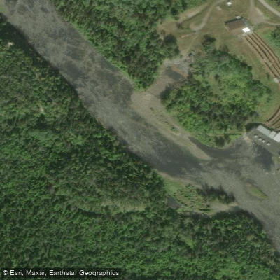
Kaministiquia River
- Boat Ramps
- 6
- Access Points
- 0
- Campsites
- 2
The Kaministiquia River, commonly known as "the Kam," originates at Dog Lake northwest of Thunder Bay and flows approximately 95 kilometres (60 miles) before emptying into Thunder Bay, an arm of Lake Superior. Along its course, the river passes over Kakabeka Falls, a wide cataract standing 47 metres (154 feet) high that is the site of a major hydroelectric station. As the river approaches Thunder Bay, it divides into three channels, providing deepwater shipping access to the city's port facilities.
The stretch of the Kaministiquia most commonly paddled runs through the urban and near-urban sections of Thunder Bay. Paddlers on this portion of the river pass Fort William Historical Park, a living history site connected to the fur trade era, where tent camping is available and day trips can be launched on the sheltered waters adjacent to the park. The river also offers views of Mt. McKay (Animikii Wajiw), which rises prominently above the surrounding landscape. The Kaministiquia is generally described as offering a mix of whitewater and calmer paddling sections, making it suitable for a range of skill levels depending on the chosen stretch.
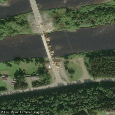
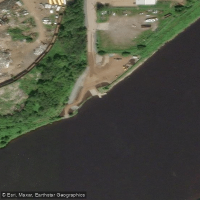
One established access point is the Mountdale Avenue boat launch, located along the river within Thunder Bay. This site has a boat ramp and parking. The Kaministiquia River Heritage Park, situated on the riverbanks along Syndicate Avenue in Thunder Bay, provides another point of access to the river corridor, though it is primarily oriented toward walking and sightseeing.
For paddlers interested in outfitting and logistics, Canadian Quetico Outfitters, located on Mountain Road near the Kaministiquia River en route to Quetico Provincial Park, offers canoe rentals, camping equipment rentals, shuttles, and trip planning services. Chaltrek, at 404 Balmoral Street in Thunder Bay, also offers kayak and canoe rentals.
The river carries historical significance as a route used by Indigenous peoples and later by French-Canadian voyageurs during the fur trade era. Fort William Historical Park, situated along the river, interprets this history and allows visitors to see and paddle authentic birch bark canoes.
Water access, boat ramps & amenities
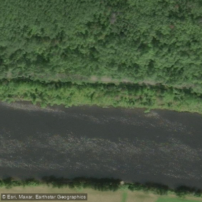
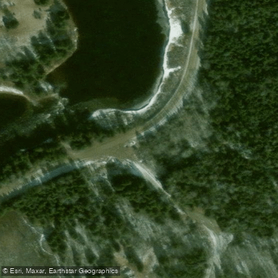
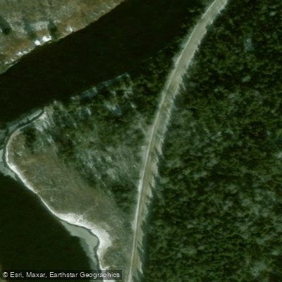
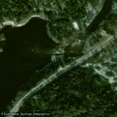
Learn how to get on Kaministiquia River. Uncover great paddling access points, boat ramps, and all the facilities you need for an unforgettable day on the water. Some locations shown may border or include private property. Always check property boundaries and applicable regulations before visiting. PaddleWays's Public & Private Land layer can help you plan your access with confidence.
Paddle smarter with real-time insights
Whether you're en route and conditions shift or you're looking for the best spot based on current flows, we enable you to make informed decisions on the fly.








Find Places to Paddle

Over 400,000 Places to Paddle
Every user gets free access to launch points, boat ramps, and public property parcels.


Water and weather conditions (10 day forecast)
See the best times to paddle Kaministiquia River and check the forecast before you go.
KAMINISTIQUIA RIVER AT KAMINISTIQUIA
All Flow Stations
Paddling near Kaministiquia River
Red River

Assiniboine River
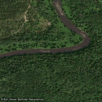
Whitemouth River
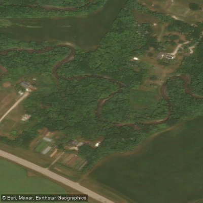
Rivière Seine
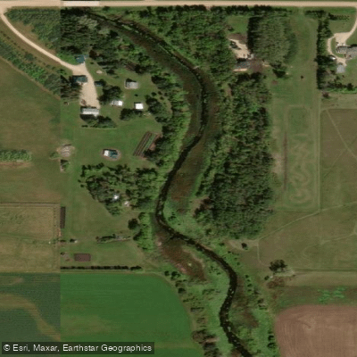
Cooks Creek
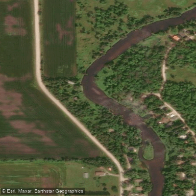
Brokenhead River
Hazel Creek
Bog River
Sturgeon Creek
Whitemouth Lake
Explore On waters
Top paddling waters
No waters available right now.
Popular Cities
Loading popular cities...
Explore near Kaministiquia River
Access points
Nearby waters
More in On

Smarter Paddling Starts in the App.
Paddleways gives you everything you need to plan smarter, paddle better, and own every trip from first launch to takeout.