Lac Témiscamingue
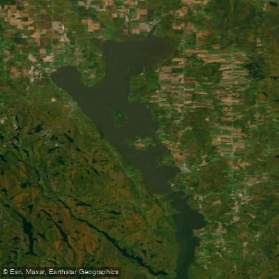
Lac Témiscamingue
- Boat Ramps
- 2
- Access Points
- 0
- Campsites
- 8
Lac Témiscamingue is a large lake straddling the Quebec-Ontario border, notable for its dramatic fjord-like character, including spectacular cliffs along portions of its shoreline. Two established paddling trails follow its Quebec shores. The Great Lake Temiscamingue Paddling Trail runs 36.2 kilometres as a linear route in the Notre-Dame-du-Nord area, while the Temiscamingue Fjord Paddling Trail covers 78 kilometres as a linear route near Ville-Marie. Both trails are designated as seasonal.
The lake is accessible from Parc national d'Opémican, which sits at its northern end and encompasses portions of the surrounding waterway network. Paddlers exploring the park can follow the lake's cliffs as part of longer canoe-camping itineraries. The Rivière-Kipawa, which flows into Lac Témiscamingue, offers a notable day run of 16 kilometres from Lac Kipawa, featuring 18 rapids and a 30-metre waterfall — a route suited to experienced whitewater paddlers.
The Fort Temiscamingue-Obadjiwan Historic Site, located at Duhamel-Ouest on a peninsula along the lake, is accessible by boat and relates to the region's fur trade history. The area has been inhabited and travelled by the Anishinaabeg for centuries, and French-speaking communities have been established on both the Quebec and Ontario shores for roughly four hundred years.
Canoe, kayak, and paddleboard rentals are available within Parc national d'Opémican for those looking to explore the lake's northern reaches without their own equipment.
Water access, boat ramps & amenities
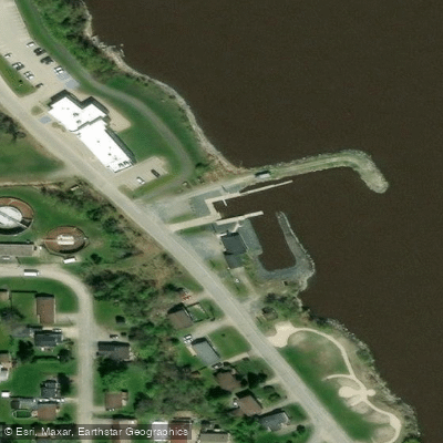
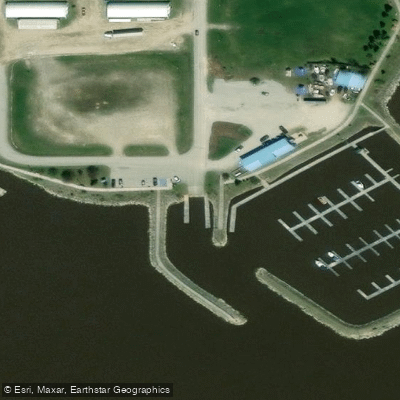
Learn how to get on Lac Témiscamingue. Uncover great paddling access points, boat ramps, and all the facilities you need for an unforgettable day on the water. Some locations shown may border or include private property. Always check property boundaries and applicable regulations before visiting. PaddleWays's Public & Private Land layer can help you plan your access with confidence.
Paddle smarter with real-time insights
Whether you're en route and conditions shift or you're looking for the best spot based on current flows, we enable you to make informed decisions on the fly.








Find Places to Paddle

Over 400,000 Places to Paddle
Every user gets free access to launch points, boat ramps, and public property parcels.


Water and weather conditions (10 day forecast)
See the best times to paddle Lac Témiscamingue and check the forecast before you go.
LAKE TIMISKAMING AT HAILEYBURY
All Flow Stations
Paddling near Lac Témiscamingue

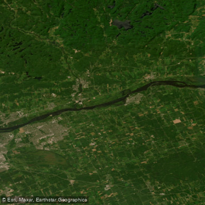
Ottawa River
Ottawa River
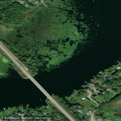
Rideau River
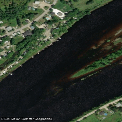
Rivière Gatineau
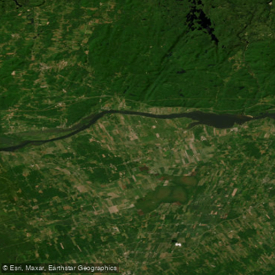
Lac Dollard-des-Ormeaux
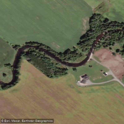
Jock River
Rivière du Lièvre
Stevens Creek
Rivière Blanche
Mississippi River
Explore On waters
Top paddling waters
No waters available right now.
Popular Cities
Loading popular cities...
Explore near Lac Témiscamingue
Access points
Nearby waters
More in On

Smarter Paddling Starts in the App.
Paddleways gives you everything you need to plan smarter, paddle better, and own every trip from first launch to takeout.