McIntyre Creek
McIntyre Creek
- Boat Ramps
- 0
- Access Points
- 0
- Campsites
- 0
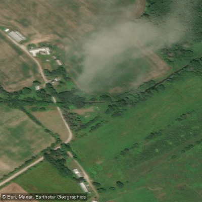
McIntyre Creek is located within the Mississippi Lake National Wildlife Area (NWA) in Ontario, Canada, and serves as a water connection between the NWA and Mississippi Lake. The creek is accessible to paddlers via a public boat launch situated within the NWA, which also provides designated parking. This launch point is the primary — and during certain periods the only — authorized water entry point into the NWA.
Paddlers should be aware of firm seasonal restrictions governing use of the creek. Recreational boating, including non-motorized craft, is prohibited on McIntyre Creek and in McEwen Bay from September 15 through December 15 each year. During this restricted window, water access from the NWA boat launch is permitted solely for the purpose of transiting through McIntyre Creek to reach Mississippi Lake, which lies outside the NWA boundary. Outside of this restricted period, both motorized and non-motorized boating are authorized on the creek.
The boat launch area also permits swimming from May 15 through September 15, suggesting the creek is accessible and navigable during the warmer months of the year. Sport fishing is authorized in McEwen Bay from the day it becomes ice-free through September 15, which gives some indication of the seasonal ice conditions paddlers might anticipate in early spring.
The NWA context means that wildlife viewing is a recognized activity in the area, and the surrounding land is managed for conservation purposes. Overnight camping, open fires, and off-road vehicle use are prohibited within the NWA at all times. Paddlers visiting the area should note that Environment Canada staff conduct periodic visits, particularly during periods of high use, and enforcement of regulations is carried out when required.
Anyone planning a trip should verify current regulations posted at the NWA entrance on Drummond Concession 9A, as posted notices constitute the legal instrument governing authorized activities and take precedence over management plan documents.
Water access, boat ramps & amenities
Learn how to get on McIntyre Creek. Uncover great paddling access points, boat ramps, and all the facilities you need for an unforgettable day on the water. Some locations shown may border or include private property. Always check property boundaries and applicable regulations before visiting. PaddleWays's Public & Private Land layer can help you plan your access with confidence.
Paddle smarter with real-time insights
Whether you're en route and conditions shift or you're looking for the best spot based on current flows, we enable you to make informed decisions on the fly.








Find Places to Paddle

Over 400,000 Places to Paddle
Every user gets free access to launch points, boat ramps, and public property parcels.


Water and weather conditions (10 day forecast)
See the best times to paddle McIntyre Creek and check the forecast before you go.
No forecast data available.
Paddling near McIntyre Creek

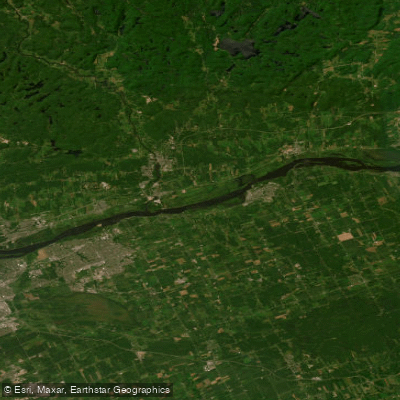
Ottawa River
Ottawa River
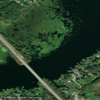
Rideau River
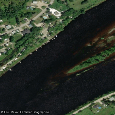
Rivière Gatineau
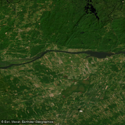
Lac Dollard-des-Ormeaux
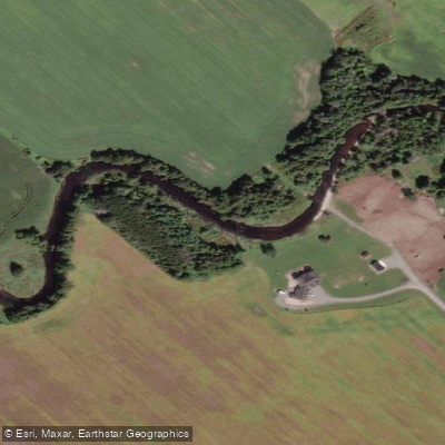
Jock River
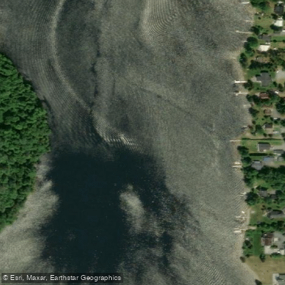
Rivière du Lièvre
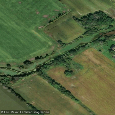
Stevens Creek
Rivière Blanche
Mississippi River
Explore On waters
Top paddling waters
No waters available right now.
Popular Cities
Loading popular cities...
Explore near McIntyre Creek

Smarter Paddling Starts in the App.
Paddleways gives you everything you need to plan smarter, paddle better, and own every trip from first launch to takeout.