Skootamatta River
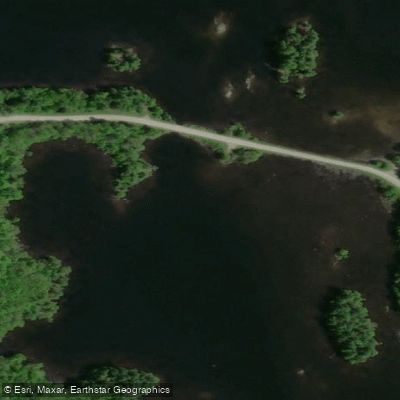
Skootamatta River
- Boat Ramps
- 0
- Access Points
- 0
- Campsites
- 0
The Skootamatta River flows approximately 48 kilometres through Hastings and Lennox and Addington Counties in Ontario, beginning at Joeperry Lake in Bon Echo Provincial Park and joining the Moira River at Tweed. The river drops from an elevation of 315 metres at its headwaters to 152 metres at its mouth, passing through Skootamatta Lake, Slave Lake, and the community of Flinton along the way. Its name is thought to derive from an Ojibwa phrase meaning "burnt shoreline."
The river is emphatically a spring paddling destination. It is commonly described as a "before Victoria Day river," meaning optimal conditions typically exist only in April and May. The Water Survey of Canada gauge at Highway 7 near Actinolite (station 02HL004) is the key reference for water levels. A minimum reading of approximately 3.3 metres (roughly 12 cubic metres per second) is needed for the river to be runnable, while good whitewater conditions occur around 3.7 metres (40 cms). By early June, flows frequently drop below 2 cms, turning the upper river into a rock garden requiring dragging and scraping. At low water, rapids become unrunnable and must be lined or portaged, and log blowdowns and beaver dams — potentially numbering in the dozens — require liftouts throughout the upper section.
The upper river features a five-kilometre meandering section prone to sweepers and strainers from fallen trees, which can make progress slow even at good spring levels. The river then passes through Flinton before continuing southwest into Hastings County, picking up tributaries including Flinton Creek and Little Skootamatta Creek. The lower section near Highway 7 and Highway 37 is more settled, with cottages and road crossings becoming more frequent. A private dam just upstream of the Highway 7 picnic area requires a liftover.
The put-in for the upper route is at Skootamatta Lake, reached by driving Highway 41 north of Cloyne, turning left on Skootamatta Lake Road, then left again on Sheldrake Lake Road. A topographic map is recommended for locating the access road. Multiple access points exist along the route for those wishing to paddle shorter sections. A public boat launch with no-fee parking is available at O'Brien's Bridge on Highway 37 for those interested in the lower river. Experienced paddlers are advised, as seasonal water level swings can create challenging and rapidly changing conditions throughout the system.
Water access, boat ramps & amenities
Learn how to get on Skootamatta River. Uncover great paddling access points, boat ramps, and all the facilities you need for an unforgettable day on the water. Some locations shown may border or include private property. Always check property boundaries and applicable regulations before visiting. PaddleWays's Public & Private Land layer can help you plan your access with confidence.
Paddle smarter with real-time insights
Whether you're en route and conditions shift or you're looking for the best spot based on current flows, we enable you to make informed decisions on the fly.








Find Places to Paddle

Over 400,000 Places to Paddle
Every user gets free access to launch points, boat ramps, and public property parcels.


Water and weather conditions (10 day forecast)
See the best times to paddle Skootamatta River and check the forecast before you go.
SKOOTAMATTA RIVER NEAR ACTINOLITE
Paddling near Skootamatta River

Ottawa River
Ottawa River
Rideau River
Rivière Gatineau
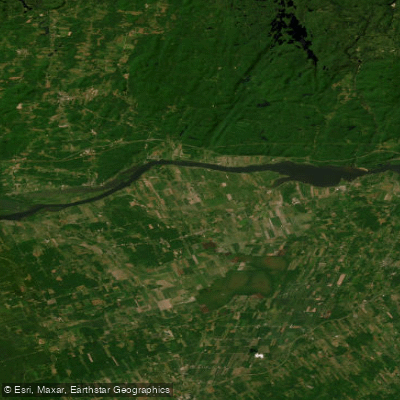
Lac Dollard-des-Ormeaux
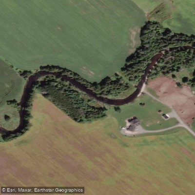
Jock River
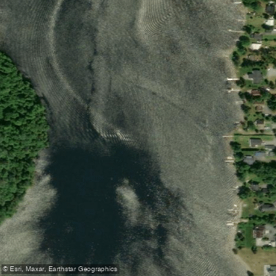
Rivière du Lièvre
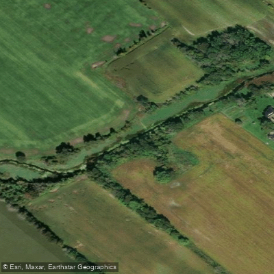
Stevens Creek
Rivière Blanche
Mississippi River
Explore On waters
Top paddling waters
No waters available right now.
Popular Cities
Loading popular cities...
Explore near Skootamatta River

Smarter Paddling Starts in the App.
Paddleways gives you everything you need to plan smarter, paddle better, and own every trip from first launch to takeout.