Grand lac Saint-François
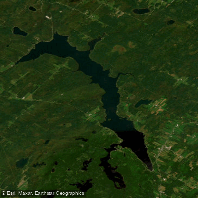
Grand lac Saint-François
- Boat Ramps
- 0
- Access Points
- 0
- Campsites
- 9
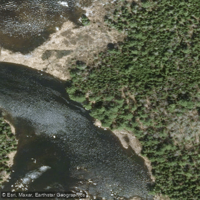
Grand lac Saint-François is a large freshwater lake covering 51 square kilometres in the Chaudière-Appalaches administrative region of southeastern Quebec, located southeast of Thetford Mines. With an elongated shape stretching over 25 kilometres and a width that generally varies between 1.5 and 2.5 kilometres, the lake offers a substantial paddling environment. The northern section is the widest, where the lake forms a long bay extending southwest toward a retaining dam at the outlet. A notable feature is Baie Sauvage, a bay approximately 7.5 kilometres long situated to the southwest, along with several islands, bays, and peninsulas that add variety to any route on the water.
The lake serves as the headwater source of the Saint-François River and was historically used for log driving. A dam was constructed in the early 20th century, raising the water level by 7 metres and expanding the lake to its current size, giving it something of a reservoir character despite its natural origins.
Roughly half of the shoreline falls within Parc national de Frontenac, which keeps much of the surrounding landscape in a forested, undeveloped state. The north shore, by contrast, has dense cottage development. The park designation makes the lake a focal point for canoe and kayak touring, including canoe-camping trips. Birdwatching in the surrounding bog areas is also noted as an activity compatible with paddling excursions.
For access, the Parc du Grand lac Saint-François in Lambton provides a boat launch, marina, cleaning station, and pump-out station. A 4-star campground on site allows paddlers to extend their stay. The Eastern Townships tourism authority also notes multiple access points around the lake.
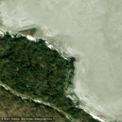
The lake surface is generally frozen from mid-November to the end of April, with safe ice travel typically limited to mid-December through the end of March. This means the open-water paddling season runs roughly from late April or May through mid-November, with summer being the primary period for canoe and kayak activity.
Water access, boat ramps & amenities
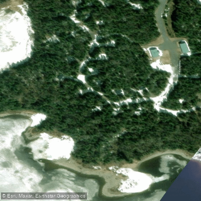
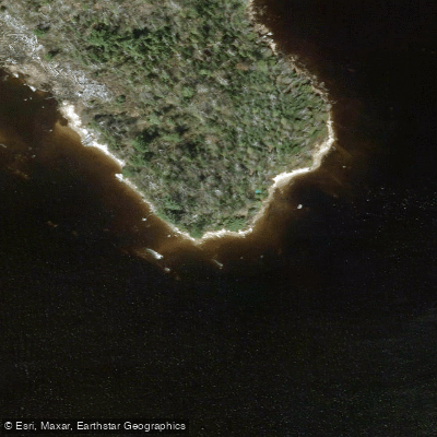
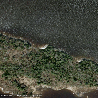
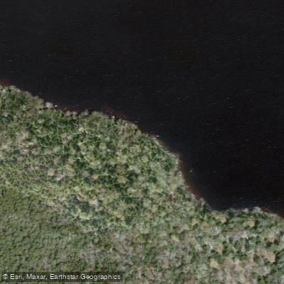
Learn how to get on Grand lac Saint-François. Uncover great paddling access points, boat ramps, and all the facilities you need for an unforgettable day on the water. Some locations shown may border or include private property. Always check property boundaries and applicable regulations before visiting. PaddleWays's Public & Private Land layer can help you plan your access with confidence.
Paddle smarter with real-time insights
Whether you're en route and conditions shift or you're looking for the best spot based on current flows, we enable you to make informed decisions on the fly.







Qc licenses and regulations
No licenses or regulations available for Qc.
Find Places to Paddle

Over 400,000 Places to Paddle
Every user gets free access to launch points, boat ramps, and public property parcels.


Water and weather conditions (10 day forecast)
See the best times to paddle Grand lac Saint-François and check the forecast before you go.
SAINT-FRANCOIS (RIVIERE) AU RESERVOIR SAINT-FRANCOIS
Paddling near Grand lac Saint-François
Rivière Jacques-Cartier
Rivière Saint-Charles

Estuaire fluvial du Saint-Laurent
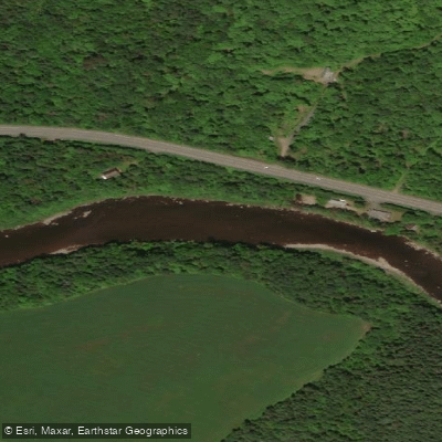
Rivière Etchemin
Rivière Montmorency
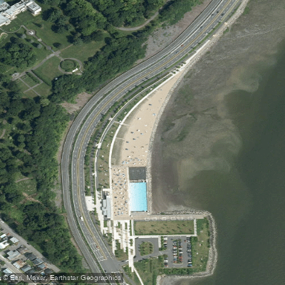
Plage Samuel de Champlain
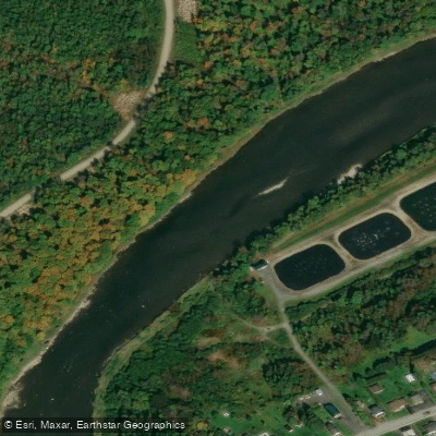
Rivière Chaudière
Rivière des Hurons
Battures de Beauport
Rivière Sainte-Anne
Explore Qc waters
Top paddling waters
No waters available right now.
Popular Cities
Loading popular cities...
Explore near Grand lac Saint-François
Access points
Nearby waters
More in Qc

Smarter Paddling Starts in the App.
Paddleways gives you everything you need to plan smarter, paddle better, and own every trip from first launch to takeout.