Lac Wiyâshâkimî
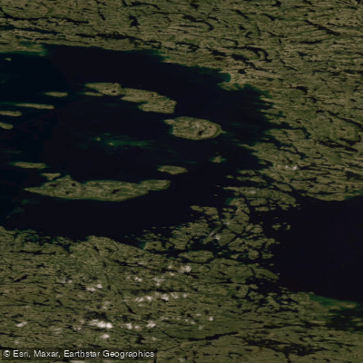
Lac Wiyâshâkimî
- Boat Ramps
- 0
- Access Points
- 0
- Campsites
- 0
Lac Wiyâshâkimî, also known as Clearwater Lake and formerly called Lac à l'Eau Claire, is the second largest natural lake in Quebec at 2,243 km². It sits at an altitude of 240 m and drains toward Hudson Bay via the Rivière à l'Eau Claire, which reaches a maximum outflow of 150 m³/s. The lake's most distinctive geographical feature is its two adjacent circular basins, measuring 26 and 36 km in diameter respectively, formed by a meteorite impact approximately 290 million years ago during the Permian period. This dual-basin structure gives the lake an unusual shape and considerable open-water expanse that paddlers should account for when planning crossings.
The lake is located in Nunavik, roughly 125 km inland from the eastern coast of Hudson Bay. There are no permanent settlements on the lake's shores; the nearest community is Umiujaq, approximately 135 km to the west. Access is typically organized through the Whapmagoostui-Kuujjuarapik Research Station. The remoteness of the location demands thorough self-sufficiency and advance logistical planning for any paddling expedition.
The western basin contains 11 islands arranged in a circular pattern, a direct result of the meteorite impact geology. These islands are underlain by volcanic breccias rather than the surrounding granite and gneiss, supporting an unusually rich flora of 250 vascular plant species — a notable contrast to the otherwise sparse regional vegetation. The islands form an enclave of shrub tundra within the broader forest tundra landscape. Birdlife is described as abundant throughout the lake area.
The lake lies within a provincial park and on Cree aboriginal land. The Cree continue to use the area extensively for hunting and fishing, particularly during spring and autumn. Paddlers should be aware of this cultural and land-use context when planning visits. Given the lake's scale, subarctic location, and complete lack of nearby infrastructure, it is suited only to experienced wilderness paddlers with appropriate cold-water safety equipment and emergency communication devices.
Water access, boat ramps & amenities
Learn how to get on Lac Wiyâshâkimî. Uncover great paddling access points, boat ramps, and all the facilities you need for an unforgettable day on the water. Some locations shown may border or include private property. Always check property boundaries and applicable regulations before visiting. PaddleWays's Public & Private Land layer can help you plan your access with confidence.
Paddle smarter with real-time insights
Whether you're en route and conditions shift or you're looking for the best spot based on current flows, we enable you to make informed decisions on the fly.







Qc licenses and regulations
No licenses or regulations available for Qc.
Find Places to Paddle

Over 400,000 Places to Paddle
Every user gets free access to launch points, boat ramps, and public property parcels.


Water and weather conditions (10 day forecast)
See the best times to paddle Lac Wiyâshâkimî and check the forecast before you go.
No forecast data available.
Paddling near Lac Wiyâshâkimî
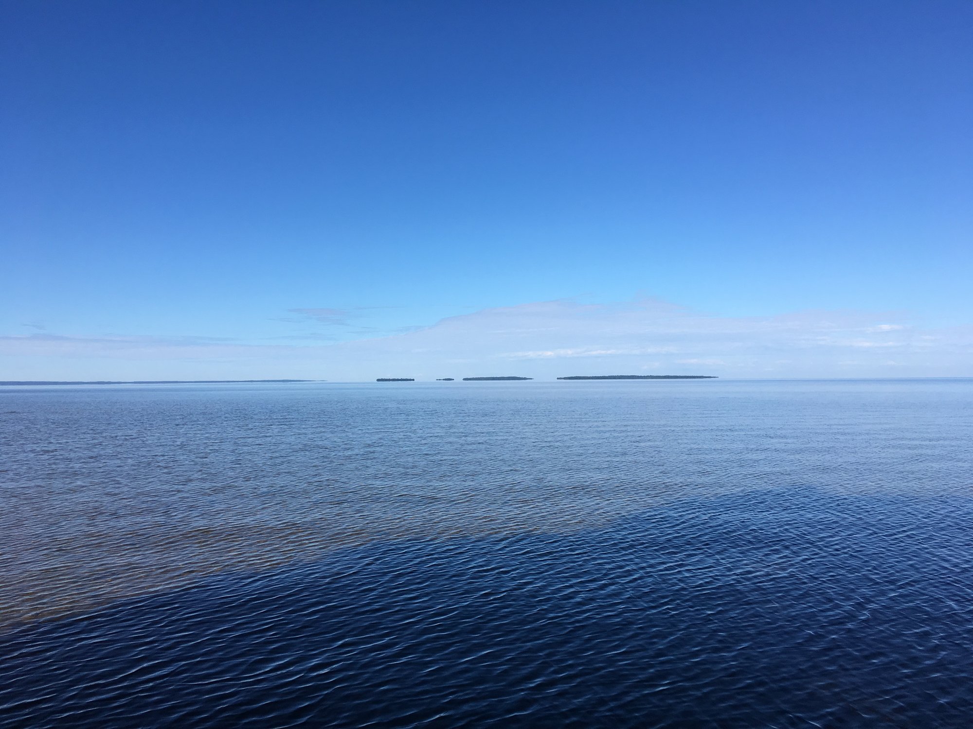
Lac Nipissing
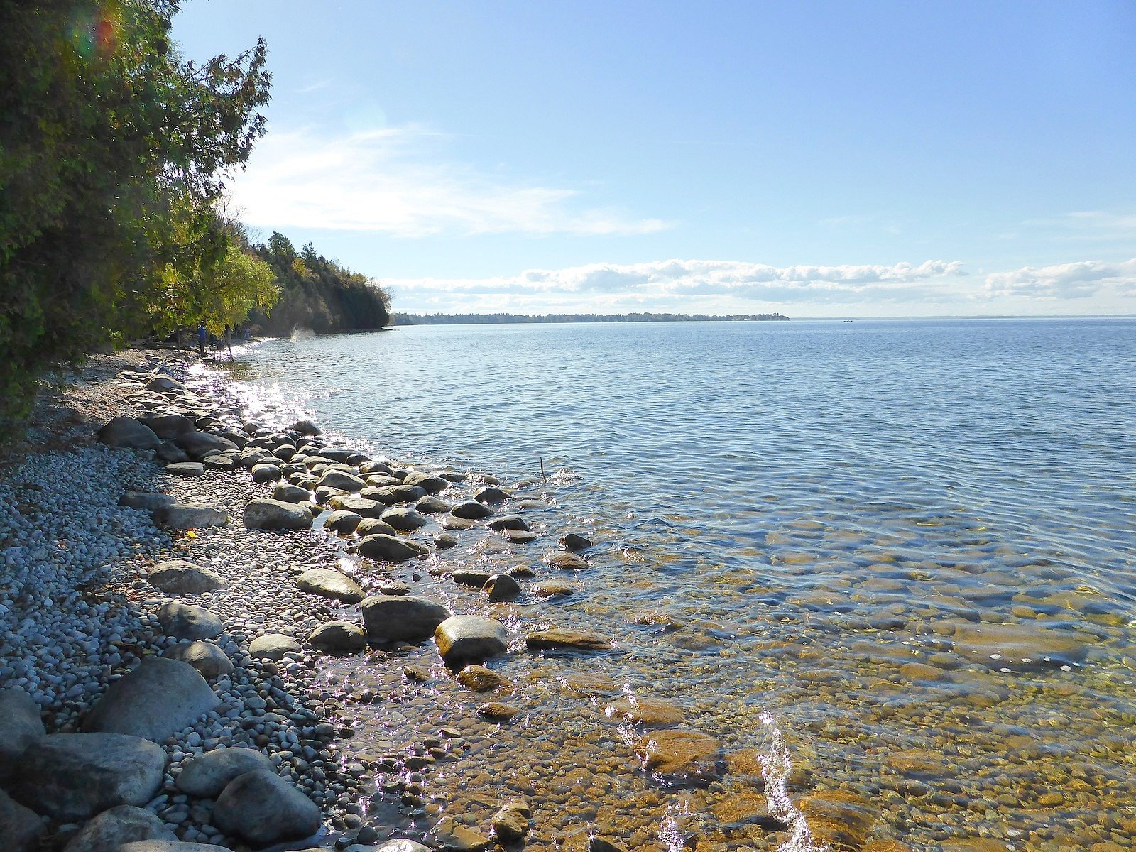
Lake Simcoe
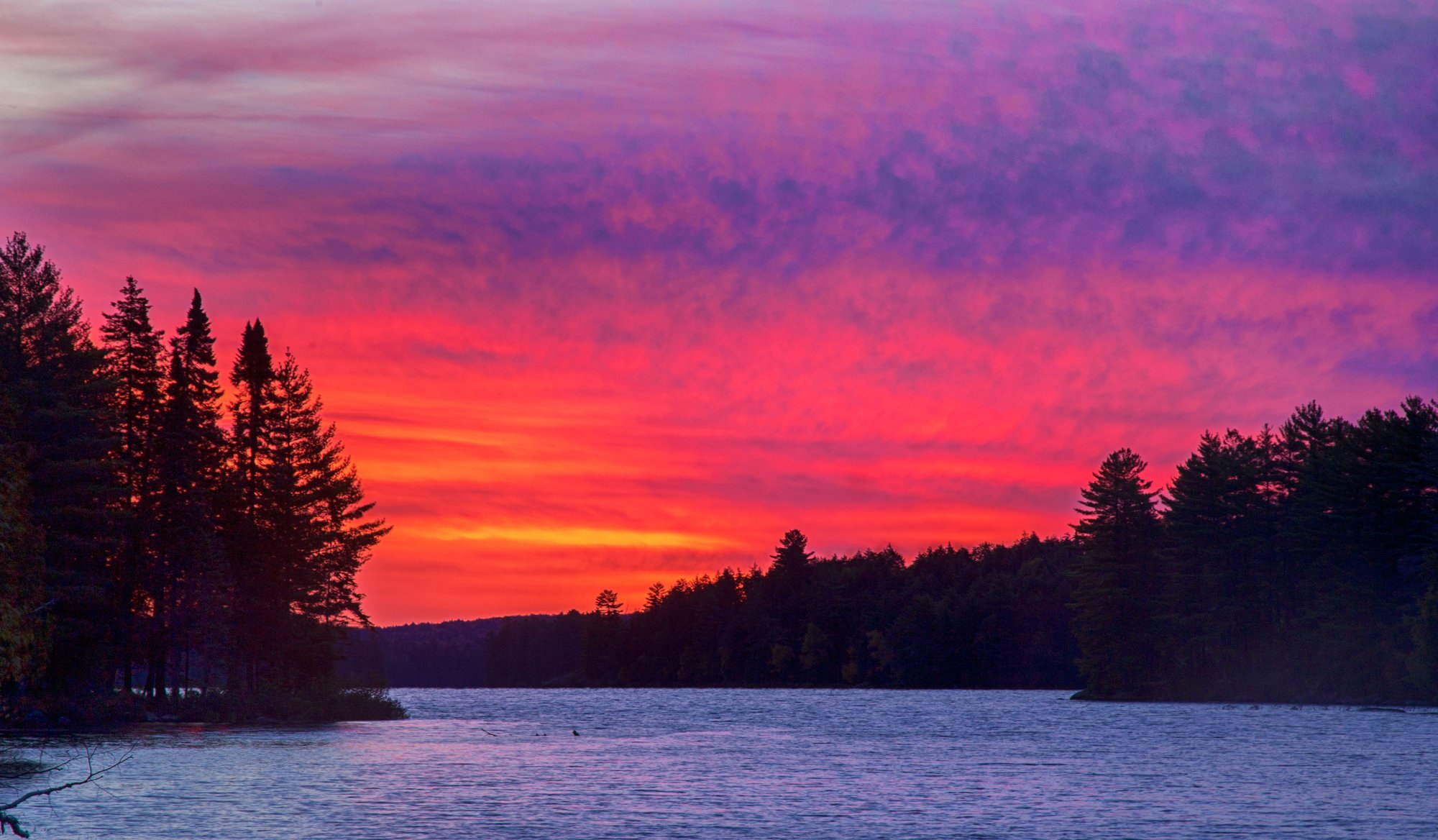
Big Trout Lake
Stephens Lake
Wunnummin Lake
Sturgeon Lake
Lake Temagami
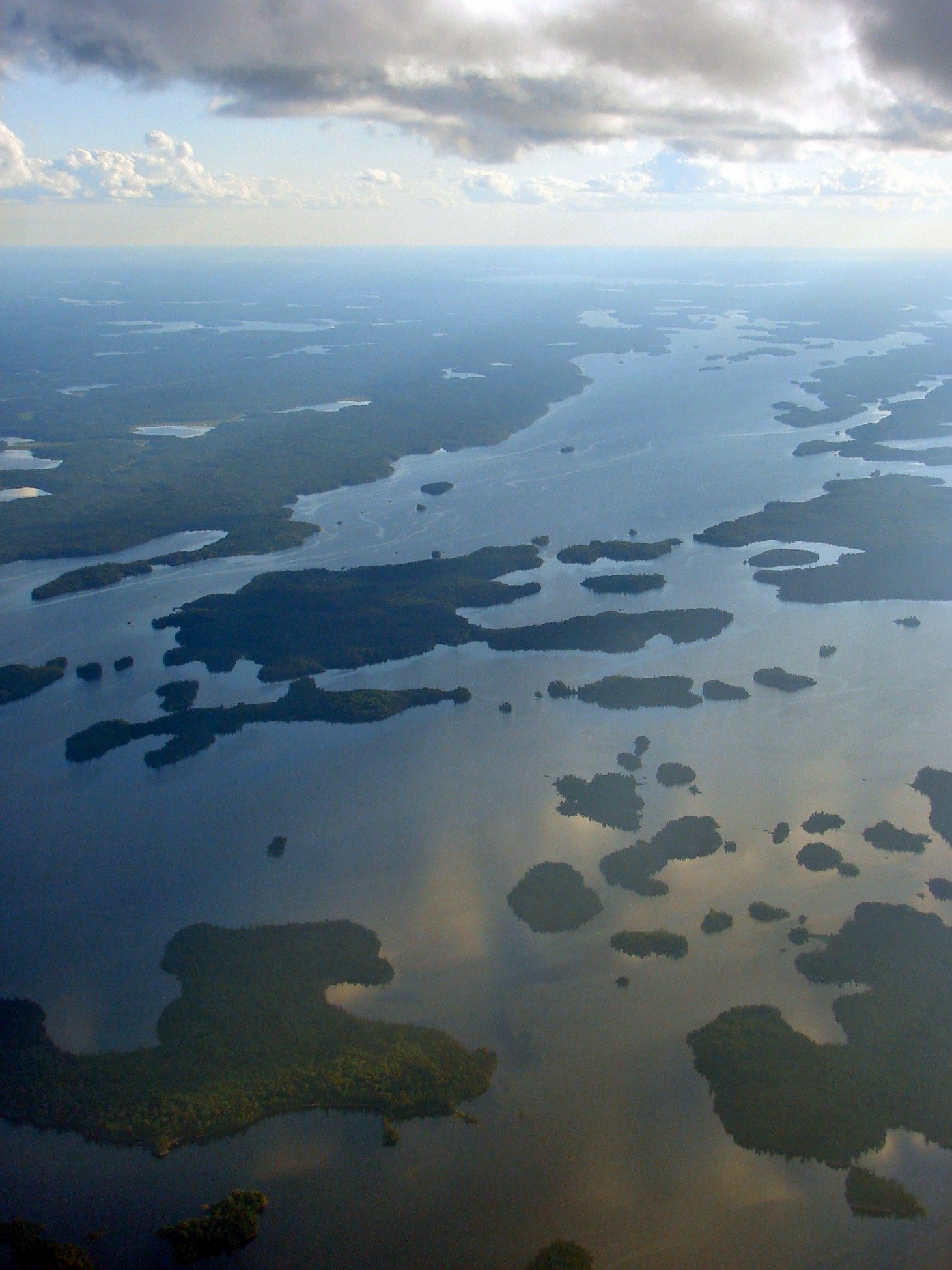
Minnitaki Lake
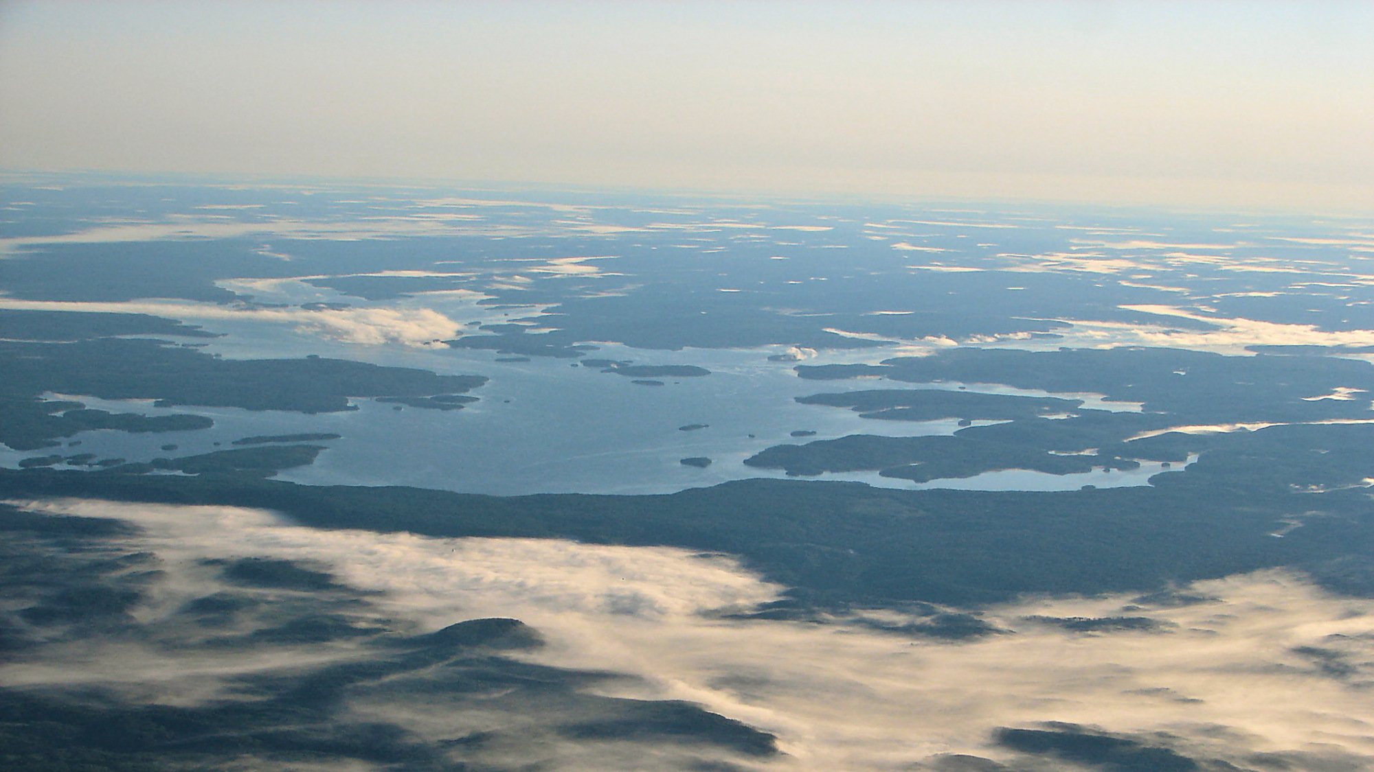
Dog Lake
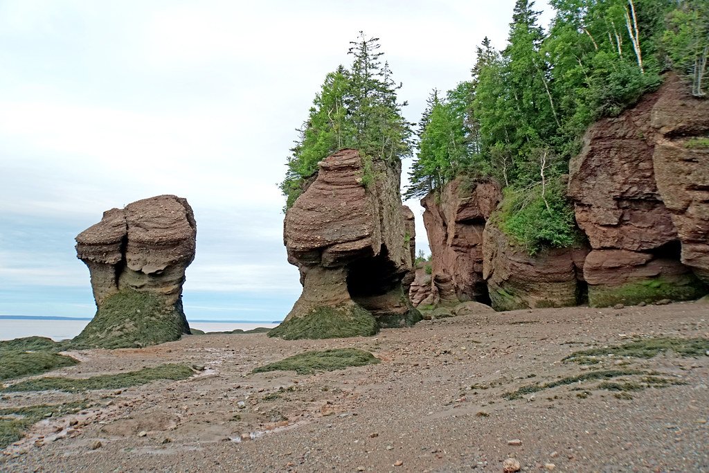
Bay of Fundy
Explore Qc waters
Top paddling waters
No waters available right now.
Popular Cities
Loading popular cities...
Explore near Lac Wiyâshâkimî

Smarter Paddling Starts in the App.
Paddleways gives you everything you need to plan smarter, paddle better, and own every trip from first launch to takeout.