Rivière Bécancour
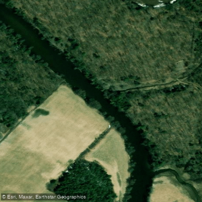
Rivière Bécancour
- Boat Ramps
- 0
- Access Points
- 0
- Campsites
- 5
The Rivière Bécancour flows through the Centre-du-Québec region and is a navigable waterway accessible to canoeists, kayakers, and paddleboarders. It is part of Canot Kayak Québec's La route bleue network, which has established certified circuits in the Région de L'Érable specifically designed for paddlers of varying skill levels.
Two primary circuits are available along the Bécancour. Route A is a 13.6 km one-way trip running from Princeville to Lyster, suitable for those seeking a point-to-point experience. Route B covers 6.8 km and is rated beginner level, allowing a round trip from the Lyster municipal boat launch. This second option is characterized by weak currents and calm water, with several islands along the way. Although the islands are privately owned, they offer notable views along the route. The paddling season runs from mid-June to mid-October. There is no charge for the activity itself, though access to certain launching sites may be subject to a fee.
Along the routes, educational panels have been installed at various points, covering topics such as the historic use of the river by early settlers, Aboriginal occupation of the territory, Abenaki canoe traditions, and the river's bird and fish life. The river has historical and cultural depth that paddlers can engage with directly on the water.
In terms of ecology, the Bécancour acts as habitat for several endangered or precarious species, including waterfowl and wood turtles. Invasive exotic species are present, including Eurasian watermilfoil, purple loosestrife, and common reed. Bank erosion is a noted concern along the river and its tributaries, with limited vegetated riparian strips contributing to water contamination from runoff and occasional landslides.
Water quality is a documented issue on the Bécancour. The river has been identified as carrying mining residues, and water quality concerns have been significant enough to compromise swimming. Paddlers should be aware of these conditions when planning trips, particularly if they intend to have any contact with the water.
Water access, boat ramps & amenities
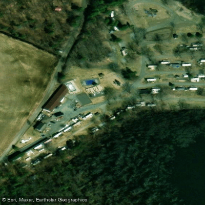
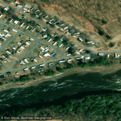
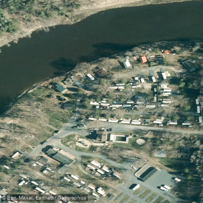
Learn how to get on Rivière Bécancour. Uncover great paddling access points, boat ramps, and all the facilities you need for an unforgettable day on the water. Some locations shown may border or include private property. Always check property boundaries and applicable regulations before visiting. PaddleWays's Public & Private Land layer can help you plan your access with confidence.
Paddle smarter with real-time insights
Whether you're en route and conditions shift or you're looking for the best spot based on current flows, we enable you to make informed decisions on the fly.







Qc licenses and regulations
No licenses or regulations available for Qc.
Find Places to Paddle

Over 400,000 Places to Paddle
Every user gets free access to launch points, boat ramps, and public property parcels.


Water and weather conditions (10 day forecast)
See the best times to paddle Rivière Bécancour and check the forecast before you go.
BECANCOUR (RIVIERE) A 2,1 KM EN AMONT DE LA RIVIERE PALMER
All Flow Stations
Paddling near Rivière Bécancour

Rivière Saint-Maurice

Fleuve Saint-Laurent

Estuaire fluvial du Saint-Laurent
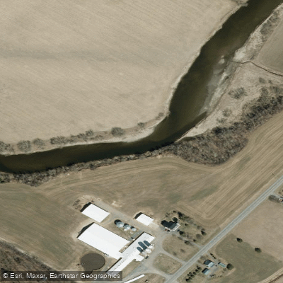
Rivière Nicolet
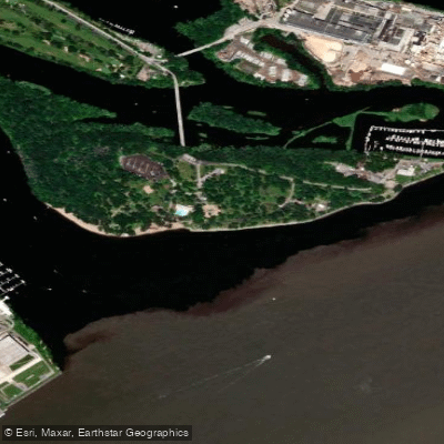
Plage de l'Ile Saint-Quentin
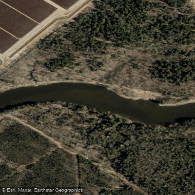
Rivière Nicolet Sud-Ouest
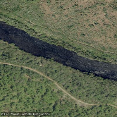
Rivière Batiscan
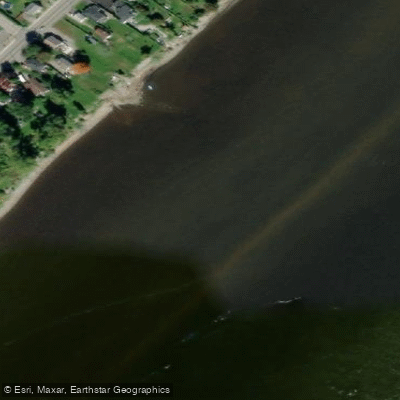
Batture Taureau
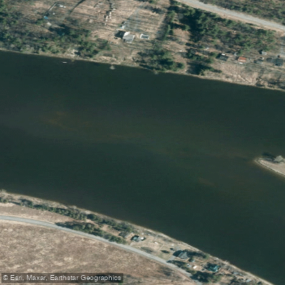
Rivière Saint-François
Explore Qc waters
Top paddling waters
No waters available right now.
Popular Cities
Loading popular cities...
Explore near Rivière Bécancour
Access points
Nearby waters
More in Qc

Smarter Paddling Starts in the App.
Paddleways gives you everything you need to plan smarter, paddle better, and own every trip from first launch to takeout.