Rivière Saint-François
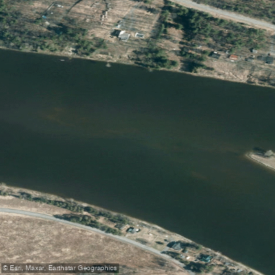
Rivière Saint-François
- Boat Ramps
- 0
- Access Points
- 0
- Campsites
- 7
The Rivière Saint-François is the most significant waterway in Quebec's Eastern Townships, flowing through a landscape that remains largely undeveloped along its banks. Its rocky bed and shallow depth make it impassable to motorboats, which effectively reserves the river for canoes and kayaks and creates a notably quiet paddling environment even where the river passes through or near towns.
The river offers multiple route options of varying difficulty. Between Richmond and Ulverton, a 10 km route follows a calm, green valley with almost no dwellings visible from the water. This stretch takes approximately 2 to 3 hours to complete depending on pace and stops. A longer 17 km route runs from Windsor down to Richmond; this section is more technically demanding, with challenging rapids rated around R2 to R3 depending on water level, and a guide is strongly recommended for this stretch. Paddleboarding is not recommended on the river due to the shallow water depth, which can cause fins to strike rocks, and the 10 km distance is considered too long for a comfortable SUP outing.
In the Sherbrooke area, the river is part of the Corridor Bleu, with an excursion of 16.5 km running from Lennoxville to Brompton through both urban and rural landscapes. Further downstream, St-Lucien provides access points where the river runs with a generally calm flow punctuated by occasional rapids. At some water levels, portaging around certain rapids may be necessary. The Parc des plaisanciers in Weedon provides access to the river and is being developed to include a universally accessible canoe and kayak launch ramp.
Canot-Kayak Richmond, operated by the Municipality of Richmond since 2005, offers boat rentals and a shuttle service for the Richmond-area routes. A free digital map bundle covering the full length of the river, produced by Canot Kayak Québec, is available through the Avenza Maps app and marks put-ins, rapids, portages, camping sites, and other points of interest.
Wildlife along the river includes bald eagles, turkey vultures, kingfishers, otters, beavers, white-tailed deer, and various fish species. The near-total absence of riverside development is a defining characteristic of much of the river corridor.
Water access, boat ramps & amenities
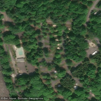
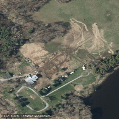
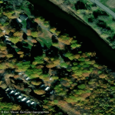
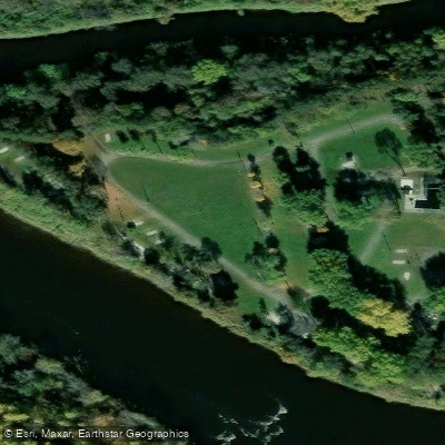
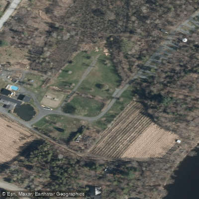
Learn how to get on Rivière Saint-François. Uncover great paddling access points, boat ramps, and all the facilities you need for an unforgettable day on the water. Some locations shown may border or include private property. Always check property boundaries and applicable regulations before visiting. PaddleWays's Public & Private Land layer can help you plan your access with confidence.
Paddle smarter with real-time insights
Whether you're en route and conditions shift or you're looking for the best spot based on current flows, we enable you to make informed decisions on the fly.







Qc licenses and regulations
No licenses or regulations available for Qc.
Find Places to Paddle

Over 400,000 Places to Paddle
Every user gets free access to launch points, boat ramps, and public property parcels.


Water and weather conditions (10 day forecast)
See the best times to paddle Rivière Saint-François and check the forecast before you go.
SAINT-FRANCOIS (RIVIERE) A SHERBROOKE
All Flow Stations
Paddling near Rivière Saint-François

Rivière Saint-Maurice
Fleuve Saint-Laurent

Estuaire fluvial du Saint-Laurent
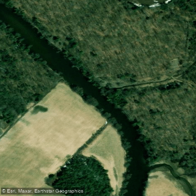
Rivière Bécancour
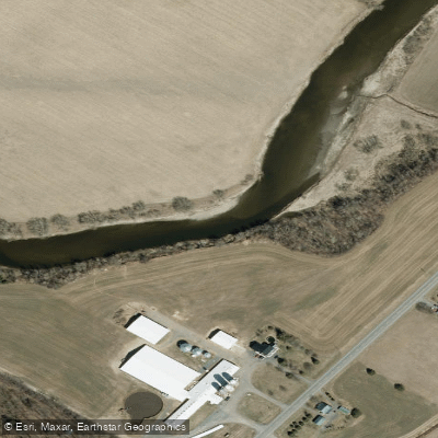
Rivière Nicolet
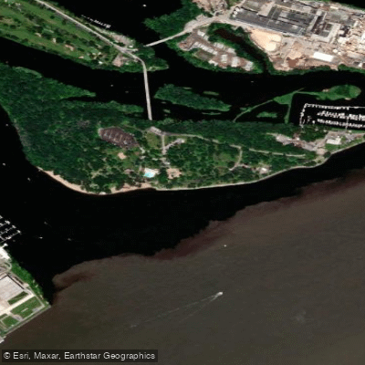
Plage de l'Ile Saint-Quentin
Rivière Nicolet Sud-Ouest
Rivière Batiscan
Batture Taureau
Explore Qc waters
Top paddling waters
No waters available right now.
Popular Cities
Loading popular cities...
Explore near Rivière Saint-François
Access points
Nearby waters
More in Qc

Smarter Paddling Starts in the App.
Paddleways gives you everything you need to plan smarter, paddle better, and own every trip from first launch to takeout.