Rivière Batiscan
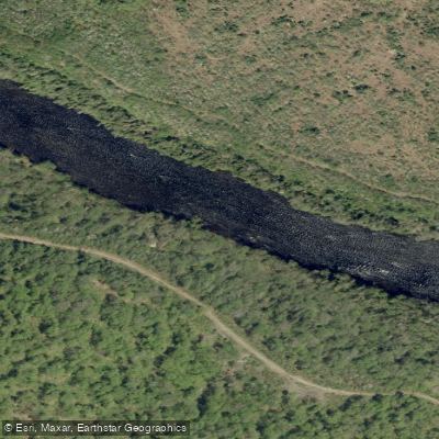
Rivière Batiscan
- Boat Ramps
- 0
- Access Points
- 0
- Campsites
- 6
The Rivière Batiscan is a 196-kilometre wilderness river in Quebec that flows south and west from Lac Édouard through the regions of La Tuque, Portneuf, Mékinac, and Les Chenaux before emptying into the St. Lawrence River near the town of Batiscan, northeast of Trois-Rivières. The full route from Lac Édouard to Notre-Dame-des-Anges covers roughly 200 kilometres and is typically completed in approximately 14 days.
The upper portion of the river flows through a narrow channel connecting a series of smaller lakes, giving paddlers a sense of seclusion in dense boreal forest. As the river gains volume and gradient, it passes through the Batiscan River Park, which attracts more paddlers and campers. The character of the river shifts considerably along its length: the section from Pearles Lake down to Île-à-la-Croix features approximately 50 kilometres of Class II rapids well suited to canoe-camping, while the stretch known as the "Portes de l'enfer" (Gates of Hell) contains Class III and IV rapids. The Portneuf Wildlife Reserve section includes notable rapids such as Trois-Roches and Savage Rapid. Multiple Class III and above rapids are present throughout, including some Class IV and V features, with portages available around the majority of obstacles. Expect large standing waves in certain sections. Most groups take out at Notre-Dame-des-Anges, as the remaining whitewater downstream consists primarily of waterfalls before reaching the St. Lawrence.
The river passes through an isolated region with no cell reception along much of its length, and there is no road access along significant stretches. Paddlers are strongly encouraged to carry a satellite communication device. Campsites and portages are rustic and not professionally maintained. Black bears and wolverines are present throughout the corridor. Large lakes along the route require careful navigation and weather awareness for safe crossings.
Access to the upper river is available by car or train. Via Rail serves Lac Édouard and several points along the route, including Rivière-à-Pierre, with northbound and southbound service on alternating days. The rail line runs along much of the river's length and can serve as an emergency evacuation route. Fly-in lodges and communities along the route also provide established evacuation points. Canot Kayak Québec publishes a detailed route survey (relevé) covering the river, and a digital map bundle covering the full route — including put-ins, rapids, portages, and campsites — is available through the Avenza Maps platform.
Water access, boat ramps & amenities
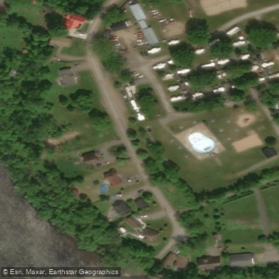
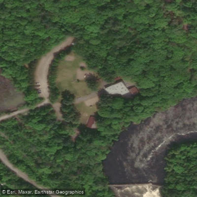
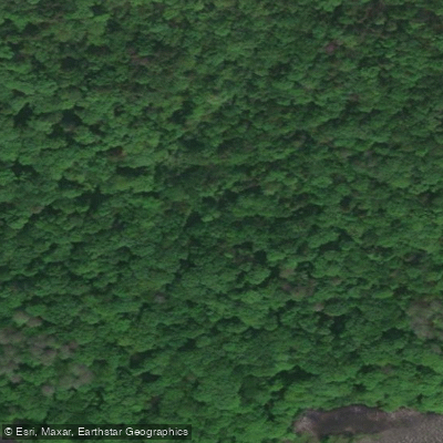
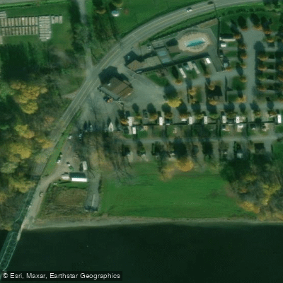
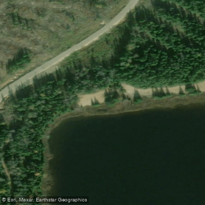
Learn how to get on Rivière Batiscan. Uncover great paddling access points, boat ramps, and all the facilities you need for an unforgettable day on the water. Some locations shown may border or include private property. Always check property boundaries and applicable regulations before visiting. PaddleWays's Public & Private Land layer can help you plan your access with confidence.
Paddle smarter with real-time insights
Whether you're en route and conditions shift or you're looking for the best spot based on current flows, we enable you to make informed decisions on the fly.







Qc licenses and regulations
No licenses or regulations available for Qc.
Find Places to Paddle

Over 400,000 Places to Paddle
Every user gets free access to launch points, boat ramps, and public property parcels.


Water and weather conditions (10 day forecast)
See the best times to paddle Rivière Batiscan and check the forecast before you go.
BATISCAN (RIVIERE) A 3,4 KM EN AVAL DE LA RIVIERE DES ENVIES
Paddling near Rivière Batiscan
Rivière Saint-Maurice
Fleuve Saint-Laurent

Estuaire fluvial du Saint-Laurent
Rivière Bécancour
Rivière Nicolet
Plage de l'Ile Saint-Quentin
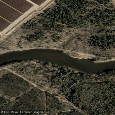
Rivière Nicolet Sud-Ouest
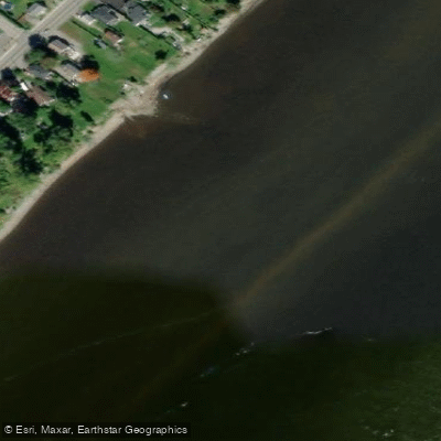
Batture Taureau
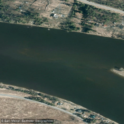
Rivière Saint-François
Explore Qc waters
Top paddling waters
No waters available right now.
Popular Cities
Loading popular cities...
Explore near Rivière Batiscan
Access points
Nearby waters
More in Qc

Smarter Paddling Starts in the App.
Paddleways gives you everything you need to plan smarter, paddle better, and own every trip from first launch to takeout.