Rivière Nicolet Sud-Ouest
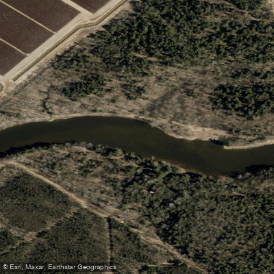
Rivière Nicolet Sud-Ouest
- Boat Ramps
- 0
- Access Points
- 0
- Campsites
- 0
The Rivière Nicolet Sud-Ouest is a calm-water river located in the Arthabaska Regional County Municipality of Quebec, flowing through the Kingsey Falls area in the southern part of the province. The river offers a paddling route of approximately 13 kilometres, making it a practical choice for a day trip by canoe or kayak.
One of the primary access points is located at Parc Marie-Victorin in Kingsey Falls, where a launch point provides entry to the river. The park is also known for its garden featuring large 3D mosaic sculptures, giving paddlers an additional point of interest at the put-in. The launch can be more challenging during periods of low water, and paddlers should exercise caution over rocks in the first 100 metres after entering the river.
The character of the river is generally calm throughout, and it is considered suitable for beginners. Beyond the initial rocky stretch near the put-in, the water settles into a quiet, easy-moving flow. Canot Kayak Québec has produced a set of three digital maps covering the full route, available free through the Avenza Maps app, which indicate put-in and take-out points, rapids, portages, camping sites, and other points of interest along the river corridor. The maps were published in November 2022 and are available for iOS and Android devices.
No specific regulations or permit requirements are noted for paddling this river. Paddlers planning a trip should consult the Canot Kayak Québec maps for detailed route planning, particularly regarding portages and any rapids that may be present along the full 13-kilometre stretch.
Water access, boat ramps & amenities
Learn how to get on Rivière Nicolet Sud-Ouest. Uncover great paddling access points, boat ramps, and all the facilities you need for an unforgettable day on the water. Some locations shown may border or include private property. Always check property boundaries and applicable regulations before visiting. PaddleWays's Public & Private Land layer can help you plan your access with confidence.
Paddle smarter with real-time insights
Whether you're en route and conditions shift or you're looking for the best spot based on current flows, we enable you to make informed decisions on the fly.







Qc licenses and regulations
No licenses or regulations available for Qc.
Find Places to Paddle

Over 400,000 Places to Paddle
Every user gets free access to launch points, boat ramps, and public property parcels.


Water and weather conditions (10 day forecast)
See the best times to paddle Rivière Nicolet Sud-Ouest and check the forecast before you go.
NICOLET SUD-OUEST (RIVIERE) PRES D'ASBESTOS
Paddling near Rivière Nicolet Sud-Ouest
Rivière Saint-Maurice
Fleuve Saint-Laurent

Estuaire fluvial du Saint-Laurent
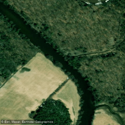
Rivière Bécancour
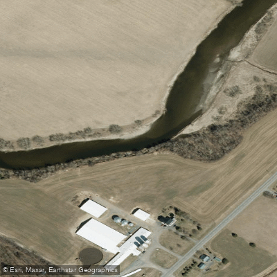
Rivière Nicolet
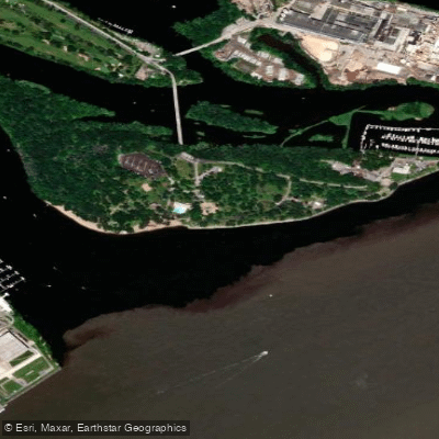
Plage de l'Ile Saint-Quentin
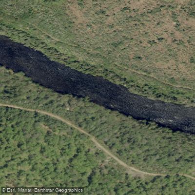
Rivière Batiscan
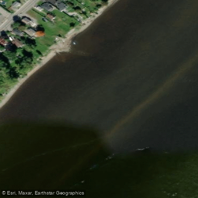
Batture Taureau
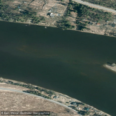
Rivière Saint-François
Explore Qc waters
Top paddling waters
No waters available right now.
Popular Cities
Loading popular cities...
Explore near Rivière Nicolet Sud-Ouest
Nearby waters
More in Qc

Smarter Paddling Starts in the App.
Paddleways gives you everything you need to plan smarter, paddle better, and own every trip from first launch to takeout.