Rivière Nicolet
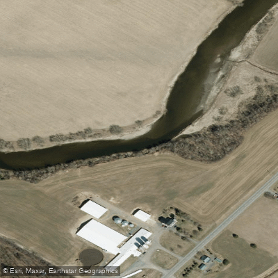
Rivière Nicolet
- Boat Ramps
- 0
- Access Points
- 0
- Campsites
- 1
The Rivière Nicolet flows through the Centre-du-Québec and Nicolet-Yamaska regions of Quebec, eventually emptying near the city of Nicolet. The river is part of Canot Kayak Québec's La Route Bleue network, which has established six certified paddling circuits along the Nicolet and Saint-François rivers in the Nicolet-Yamaska regional county municipality. These circuits are free to access, and permanent signage has been installed along the riverbanks providing technical information, course difficulty levels, and distances.
The river accommodates a range of skill levels. Near the city of Nicolet, the Club Nautique and Quai Joseph-Duval routes are considered appropriate for beginners, offering calm water and easily accessible launch points. The Rivière Nicolet Sud-Ouest section is also described as calm and suitable for beginners, though paddlers should be aware that low water levels can make launching more difficult and that rocks are present in the first 100 metres from the put-in. Caution around those rocks is advised.
In the upper reaches near Wotton in the Eastern Townships, the river passes through wooded terrain, and at least one campground along this stretch offers tube and kayak rentals for those wishing to navigate the river during the summer season. The campground operates from April to November, suggesting the river is paddleable across a broad portion of the year.
Near the mouth of the river in Nicolet, Parc Gérard-Lupien provides a boat launching ramp, a small dock, and picnic tables at no cost. The park also sits along the Route des Navigateurs and offers views of the river. Paddlers with authorization from the Aire Faunique Communautaire du Lac Saint-Pierre may fish from the dock there.
Digital maps covering the full length of the Rivière Nicolet are available free of charge through Canot Kayak Québec via the Avenza Maps app. The map bundle, published in November 2023, covers the Arthabaska Regional County Municipality and indicates put-in and take-out points, rapids, portages, camping sites, and other points of interest along the river corridor. The geographic area covered suggests the paddling route extends through at least the Arthabaska RCM before reaching the lower Nicolet-Yamaska section.
Water access, boat ramps & amenities
Learn how to get on Rivière Nicolet. Uncover great paddling access points, boat ramps, and all the facilities you need for an unforgettable day on the water. Some locations shown may border or include private property. Always check property boundaries and applicable regulations before visiting. PaddleWays's Public & Private Land layer can help you plan your access with confidence.
Paddle smarter with real-time insights
Whether you're en route and conditions shift or you're looking for the best spot based on current flows, we enable you to make informed decisions on the fly.







Qc licenses and regulations
No licenses or regulations available for Qc.
Find Places to Paddle

Over 400,000 Places to Paddle
Every user gets free access to launch points, boat ramps, and public property parcels.


Water and weather conditions (10 day forecast)
See the best times to paddle Rivière Nicolet and check the forecast before you go.
NICOLET (RIVIERE) A 5,8 KM EN AVAL DE LA RIVIERE BULSTRODE
Paddling near Rivière Nicolet
Rivière Saint-Maurice
Fleuve Saint-Laurent

Estuaire fluvial du Saint-Laurent
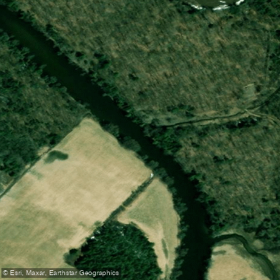
Rivière Bécancour
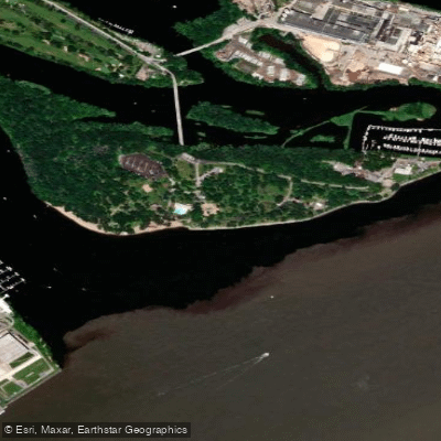
Plage de l'Ile Saint-Quentin
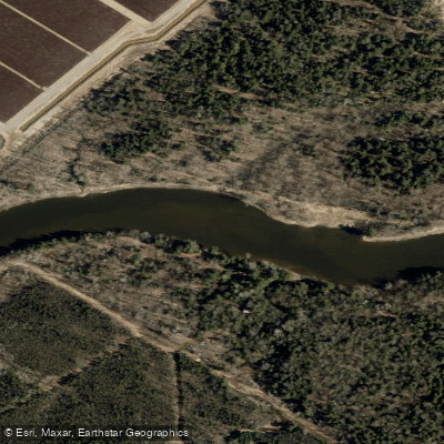
Rivière Nicolet Sud-Ouest
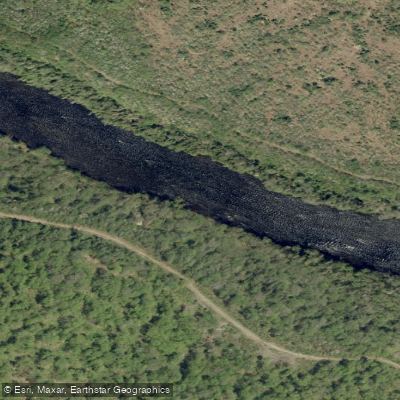
Rivière Batiscan
Batture Taureau
Rivière Saint-François
Explore Qc waters
Top paddling waters
No waters available right now.
Popular Cities
Loading popular cities...
Explore near Rivière Nicolet

Smarter Paddling Starts in the App.
Paddleways gives you everything you need to plan smarter, paddle better, and own every trip from first launch to takeout.