ADUR
- Saltwater
- Estuary
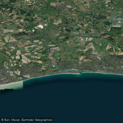
ADUR
- Saltwater
- Estuary
- Sq. miles
- 0.5
- Boat Ramps
- 0
- Access Points
- 0
- Campsites
- 0
The River Adur is a tidal estuary on the south coast of West Sussex, navigable by canoe, kayak, or SUP for approximately 14 miles from its upper reaches to the English Channel at Shoreham-by-Sea. The river is strongly tidal, and trip planning must revolve around the tide cycle. A key navigational feature is a submerged weir bar; it is passable with a skeg about an hour before a high spring tide at Shermanbury bridge, but during neap tides, it may not be submerged, requiring paddlers to take the left fork towards Bines Bridge. High tide occurs progressively later upstream, with Upper Beeding (Steyning) about 45 minutes after Shoreham and Shermanbury about two hours after Shoreham, creating a complex tidal flow where water levels can be rising upstream while falling at the estuary mouth.
Several access points exist along the river. A common put-in is near the B2135 road at Ashurst, with take-outs possible in Shoreham harbour. However, mud is a significant factor at many access points, and civilized jetties or slipways are lacking, particularly in Shoreham. The Adur Canoe Club is based next to the river at 3rd Shoreham Sea Scouts, north of Norfolk Bridge, and offers sessions timed to the tides, using a traffic light system: green for beginners on flat water, amber for intermediate paddlers with moderate current, and red for experienced paddlers on fast water. Commercial hire and lessons are also available from operators based on the riverbanks.
The paddling experience varies greatly with location and tide. The harbour area near Norfolk Bridge features interesting tidal overfalls around the bridge supports, 'salty whitewater' on a strong ebb tide, though these are manageable through most of the tidal range. Upriver, the character changes with sandy beaches suitable for poling and picnics, though the upper stretches can become weed-choked and ditch-like at times. The surrounding countryside is pleasant, with the South Downs providing a scenic backdrop. Wind exposure can be significant, especially on the lower, more open sections, and paddlers should be prepared for a workout if facing a headwind. The river offers a mix of sheltered, quiet patches ideal for beginners and more dynamic, tide-dependent sections for experienced paddlers.
Water access, boat ramps & amenities
Learn how to get on ADUR. Uncover great paddling access points, boat ramps, and all the facilities you need for an unforgettable day on the water. Some locations shown may border or include private property. Always check property boundaries and applicable regulations before visiting. PaddleWays's Public & Private Land layer can help you plan your access with confidence.
Paddle smarter with real-time insights
Whether you're en route and conditions shift or you're looking for the best spot based on current flows, we enable you to make informed decisions on the fly.








Find Places to Paddle

Over 400,000 Places to Paddle
Every user gets free access to launch points, boat ramps, and public property parcels.


Tides, wind & water conditions (10 day forecast)
On open water, wind and tide matter as much as the weather. See the best times to paddle ADUR and check the marine forecast before you launch.
Loading tide predictions…
Paddling near ADUR
River Thames
River Lea
THAMES MIDDLE
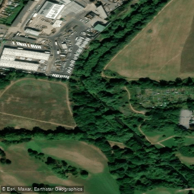
River Brent
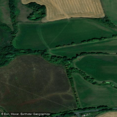
River Roding
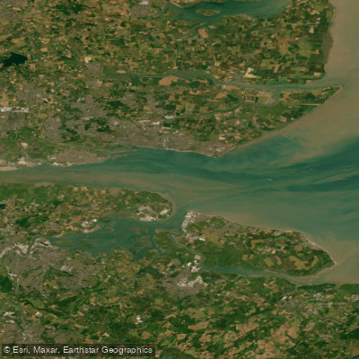
THAMES LOWER
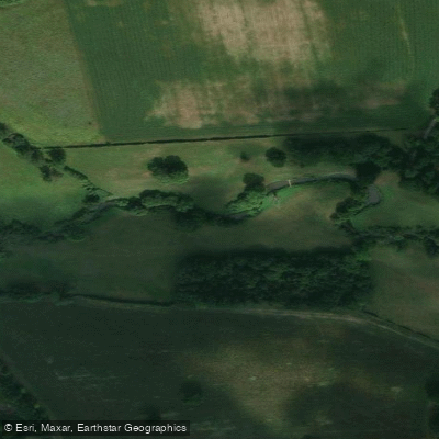
River Mole
River Darent
MEDWAY
River Colne
Explore England waters
Top paddling waters
No waters available right now.
Popular Cities
Loading popular cities...
Explore near ADUR

Smarter Paddling Starts in the App.
Paddleways gives you everything you need to plan smarter, paddle better, and own every trip from first launch to takeout.