River Ashop
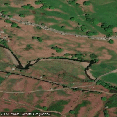
River Ashop
- Boat Ramps
- 0
- Access Points
- 0
- Campsites
- 0
The River Ashop is a 10-kilometre watercourse in the Derbyshire Peak District, England, draining a basin of approximately 49.5 square kilometres. Rising at Ashop Head on Black Ashop Moor on the eastern slopes of Mill Hill — roughly three miles southeast of Glossop and just north of Kinder Scout — the river flows eastward through remote countryside, broadly following the Sheffield to Manchester Snake Pass road before emptying into Ladybower Reservoir, which in turn drains into the River Derwent.
Paddling on the Ashop is only viable after heavy rainfall when the river runs in spate; under normal flows the water is too shallow to float a kayak. When levels are up, the river becomes highly technical, featuring numerous weirs and hydraulic holes. The channel is narrow and relatively shallow throughout, meaning the rocky riverbed poses a significant hazard to anyone who capsizes. The upper section carries the greatest volume and presents the most demanding whitewater, including a short but fast-moving tributary that passes through a steep tunnel beneath the road — by far the most challenging feature on the river.
Beyond the hydraulic hazards, paddlers must contend with a variety of in-channel obstructions. Fallen trees and fences crossing the channel are common and require careful negotiation. At high water, when the current is running fast, these features become genuinely dangerous. The combination of technical water, strainers, and a confined channel means the river demands a high level of competence and situational awareness.
The river's name derives from the Old English æsc-hop, meaning "Ash Valley," and the route passes through Snake Woodlands, a stretch of remote upland terrain characteristic of the Dark Peak. The surrounding landscape is open moorland and woodland, reflecting the wild character of the upper Derwent catchment. Given the river's dependence on rainfall and its short length, trips are necessarily brief and opportunistic rather than planned far in advance, and paddlers should be prepared for rapidly changing conditions in this upland environment.
Water access, boat ramps & amenities
Learn how to get on River Ashop. Uncover great paddling access points, boat ramps, and all the facilities you need for an unforgettable day on the water. Some locations shown may border or include private property. Always check property boundaries and applicable regulations before visiting. PaddleWays's Public & Private Land layer can help you plan your access with confidence.
Paddle smarter with real-time insights
Whether you're en route and conditions shift or you're looking for the best spot based on current flows, we enable you to make informed decisions on the fly.








Find Places to Paddle

Over 400,000 Places to Paddle
Every user gets free access to launch points, boat ramps, and public property parcels.


Water and weather conditions (10 day forecast)
See the best times to paddle River Ashop and check the forecast before you go.
No forecast data available.
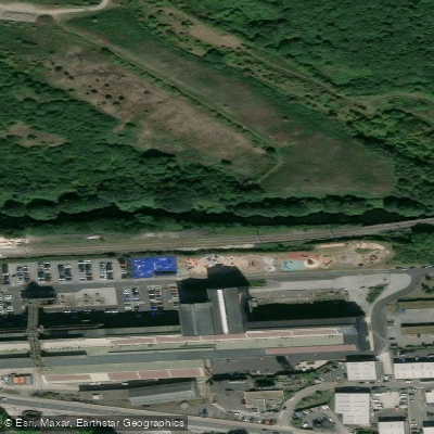
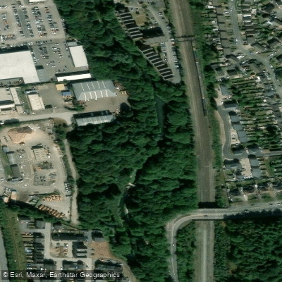
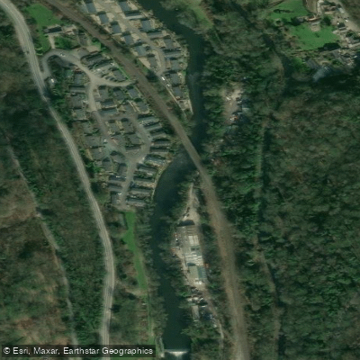
Paddling near River Ashop




Explore England waters
Top paddling waters
No waters available right now.
Popular Cities
Loading popular cities...
Explore near River Ashop
Nearby waters
More in England

Smarter Paddling Starts in the App.
Paddleways gives you everything you need to plan smarter, paddle better, and own every trip from first launch to takeout.