River Wye
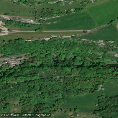
River Wye
- Boat Ramps
- 0
- Access Points
- 0
- Campsites
- 3
The River Wye is the fifth longest river in Britain, flowing approximately 155 miles from the Cambrian Mountains of Wales to the Severn Estuary near Chepstow. Its Latin name, vaga, meaning "wandering," reflects its meandering character through the border country of England and Wales. The upper reaches are fast, narrow, and technical, but from just above Hay-on-Wye the river slows and widens considerably, offering roughly 112 miles of accessible paddling suited to a wide range of abilities. The entire length is protected as a Site of Special Scientific Interest, and from Hereford downstream the river passes through the Wye Valley Area of Outstanding Natural Beauty.
Wildlife along the river includes kingfishers, otters, and salmon. Paddlers passing through the Forest of Dean section may also encounter wild boar and deer. The scenery shifts from open agricultural countryside in the upper reaches to increasingly dramatic wooded gorges approaching Symonds Yat and the lower valley.
A public right of navigation exists from Bigsweir Bridge upstream to Hay Town Bridge on the main river, and on the River Lugg between its confluence with the Wye and Presteigne Town Bridge. The Gloucester Harbour Trustees manage the tidal section downstream of Bigsweir Bridge, which should only be attempted by experienced paddlers. Importantly, the right of navigation does not confer a right of access to the riverbank; paddlers must use designated public launch sites or obtain landowner permission. On the Glasbury section, access is restricted to between 10 a.m. and 4 p.m. in agreement with local anglers.
Notable access points include Glasbury, Hay-on-Wye, Whitney-on-Wye, Hereford (wheelchair-accessible ramp on the left bank below the Hope and Anchor pub at Ross-on-Wye), Kerne Bridge (steps on the left bank 800m below the road bridge), Lower Lydbrook, Symonds Yat East and Symonds Yat West, Monmouth, and Brockweir. At Kerne Bridge, fast water and strong currents immediately below the bridge can push craft into trees, so caution is warranted. Lydbrook rapid, encountered on a sharp right-hand bend, requires paddlers to keep left of a central island. Symonds Yat Rapid is a well-known feature maintained by Paddle UK volunteers.
Canoe hire operators are based at Glasbury and Symonds Yat, offering trips ranging from a half-day to multi-day expeditions. Formal campsites catering specifically to paddlers are spaced along the route, and numerous riverside pubs provide convenient stopping points.
Water access, boat ramps & amenities
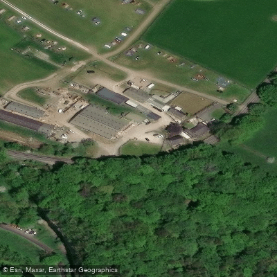
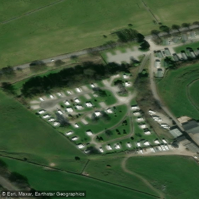
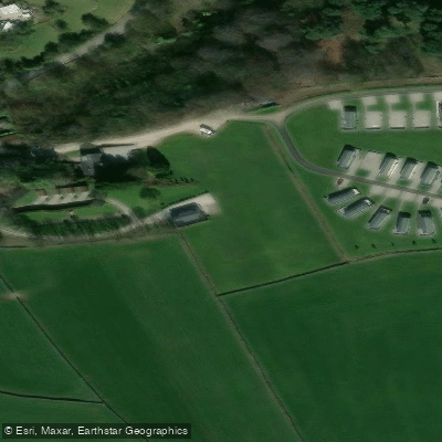
Learn how to get on River Wye. Uncover great paddling access points, boat ramps, and all the facilities you need for an unforgettable day on the water. Some locations shown may border or include private property. Always check property boundaries and applicable regulations before visiting. PaddleWays's Public & Private Land layer can help you plan your access with confidence.
Paddle smarter with real-time insights
Whether you're en route and conditions shift or you're looking for the best spot based on current flows, we enable you to make informed decisions on the fly.








Find Places to Paddle

Over 400,000 Places to Paddle
Every user gets free access to launch points, boat ramps, and public property parcels.


Water and weather conditions (10 day forecast)
See the best times to paddle River Wye and check the forecast before you go.
Buxton
All Flow Stations
Paddling near River Wye
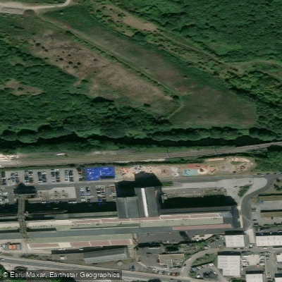
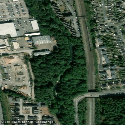

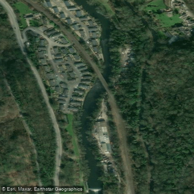


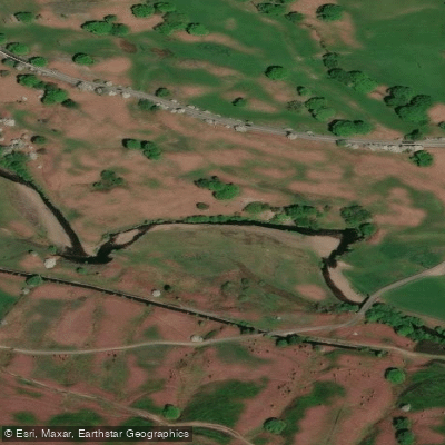

Explore England waters
Top paddling waters
No waters available right now.
Popular Cities
Loading popular cities...
Explore near River Wye

Smarter Paddling Starts in the App.
Paddleways gives you everything you need to plan smarter, paddle better, and own every trip from first launch to takeout.