River Dearne
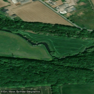
River Dearne
- Boat Ramps
- 0
- Access Points
- 1
- Campsites
- 0
The River Dearne is a lowland river in South Yorkshire, England, flowing roughly eastward for approximately 51.9 kilometres (32.2 miles) from its source near Birdsedge, just inside West Yorkshire, to its confluence with the River Don near Conisbrough at Denaby Main. The river drops from a source elevation of 328 metres (1,076 feet) to 17 metres (56 feet) at its mouth, draining a catchment of 310.8 square kilometres. It passes through Denby Dale, Clayton West, Darton, Barnsley, Darfield, Wath upon Dearne, Bolton on Dearne, Adwick upon Dearne, and Mexborough. Its main tributary is the River Dove, which joins at Darfield.
No licence is required to paddle the River Dearne. The river is listed on the Action for Access map covering approximately 24 kilometres, with an additional 12-kilometre access agreement section, giving paddlers a reasonable stretch of navigable water to work with.
The river's catchment was heavily shaped by coal mining and industrial activity, and water quality suffered significantly as a result. Improvement efforts have been ongoing, and the lower Dearne in particular has seen notable recovery. By the mid-1990s, species such as chub and dace were clearly breeding in the river, aided by channel re-engineering at Pastures Road, Denaby, where a straightened section was restored to a meandering course with deep pools and shallow gravel riffles. These features now support dace and barbel spawning. The lower river has become a recognised angling venue, reflecting the improved ecological condition.
The Dearne Valley hosts several nature reserves and parks. Dearne Valley Country Park, managed by Yorkshire Wildlife Trust in partnership with Barnsley Council, sits along the river and offers flat, accessible paths. The river through this area supports grey wagtails, kingfishers, ducks, and a range of amphibians. Pike are present in associated water bodies. The Trans-Pennine Trail connects the country park to the wider regional network.
The river's industrial heritage and ongoing ecological recovery give it a character distinct from more rural Yorkshire waterways. Paddlers should be aware that the river was affected by the 2007 United Kingdom floods, and flood risk management remains an active consideration in the valley.
Water access, boat ramps & amenities
Learn how to get on River Dearne. Uncover great paddling access points, boat ramps, and all the facilities you need for an unforgettable day on the water. Some locations shown may border or include private property. Always check property boundaries and applicable regulations before visiting. PaddleWays's Public & Private Land layer can help you plan your access with confidence.
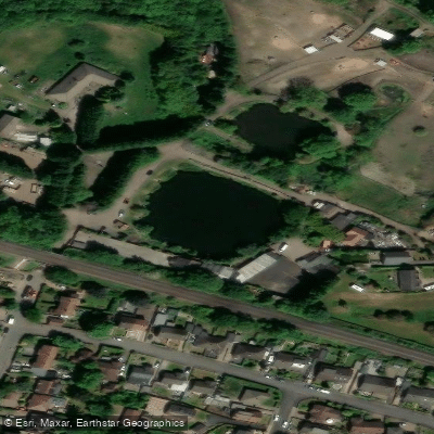
Paddle smarter with real-time insights
Whether you're en route and conditions shift or you're looking for the best spot based on current flows, we enable you to make informed decisions on the fly.







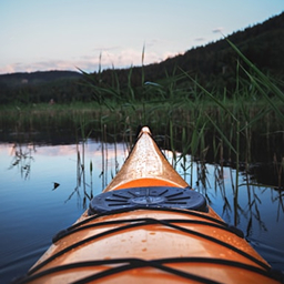
Find Places to Paddle

Over 400,000 Places to Paddle
Every user gets free access to launch points, boat ramps, and public property parcels.


Water and weather conditions (10 day forecast)
See the best times to paddle River Dearne and check the forecast before you go.
Harlington
All Flow Stations
Paddling near River Dearne
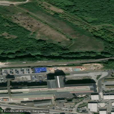
Explore England waters
Top paddling waters
No waters available right now.
Popular Cities
Loading popular cities...
Explore near River Dearne
Access points
Nearby waters
More in England
Smarter Paddling Starts in the App.
Paddleways gives you everything you need to plan smarter, paddle better, and own every trip from first launch to takeout.