River Idle
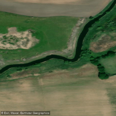
River Idle
- Boat Ramps
- 0
- Access Points
- 2
- Campsites
- 1
The River Idle is a 30-mile river in Nottinghamshire, England, formed at the confluence of the River Maun and River Meden near Markham Moor. From there it flows north through Retford and Bawtry before entering the River Trent at West Stockwith. Its main tributaries are the River Poulter and the River Ryton. The river passes through largely rural, broad floodplain terrain, though it runs through the centre of Retford and skirts the south-eastern edge of Bawtry.
For paddlers, the most practical navigable section runs approximately 10.9 miles from Bawtry Bridge to West Stockwith, with no locks along this stretch. No paddling licence is required for the River Idle. Access at the lower end, at West Stockwith, is controlled by a tidal sluice gate operated by the Environment Agency, as the river connects with the tidal River Trent at this point — a consideration for trip timing and egress planning. Boat size on the lower navigable section is restricted to 59.7 by 18 feet, with a draft of 2.5 feet and headroom of 9 feet, though canoes can navigate further upstream all the way from the river's source. There are no public moorings along the river.
One access point is located river-right immediately after the A161 Bridge, where a concrete ramp leads down to the water. A weir is present on the river, and paddlers approaching it should head to the right side, where a small ramp allows for a portage. The river has several Sites of Special Scientific Interest designated along its course, reflecting its conservation value. The surrounding land is predominantly broad floodplain, and the river has historical significance — it was diverted eastwards from Idle Stop (between Misson and Misterton) in 1628 by drainage engineers, having originally flowed into the River Don at Hatfield Chase. River levels in the lower reaches are now managed by the West Stockwith Pumping Station, which operates a sluice gate system linked to sensors in both the River Idle and River Trent to regulate discharge.
Water access, boat ramps & amenities
Learn how to get on River Idle. Uncover great paddling access points, boat ramps, and all the facilities you need for an unforgettable day on the water. Some locations shown may border or include private property. Always check property boundaries and applicable regulations before visiting. PaddleWays's Public & Private Land layer can help you plan your access with confidence.
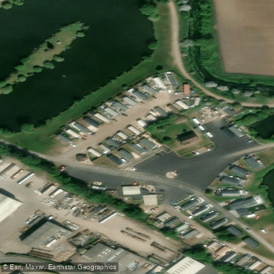
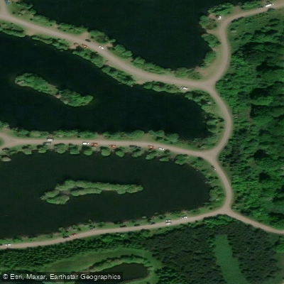
Paddle smarter with real-time insights
Whether you're en route and conditions shift or you're looking for the best spot based on current flows, we enable you to make informed decisions on the fly.








Find Places to Paddle

Over 400,000 Places to Paddle
Every user gets free access to launch points, boat ramps, and public property parcels.


Water and weather conditions (10 day forecast)
See the best times to paddle River Idle and check the forecast before you go.
Mattersey
All Flow Stations
Paddling near River Idle
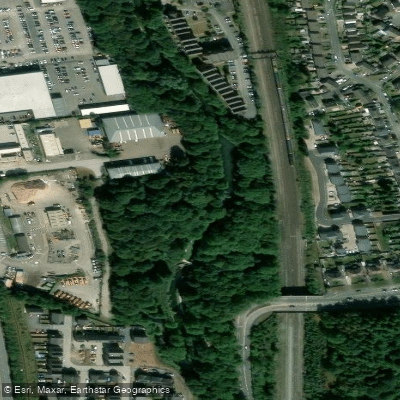

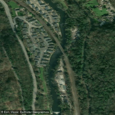



Explore England waters
Top paddling waters
No waters available right now.
Popular Cities
Loading popular cities...
Explore near River Idle

Smarter Paddling Starts in the App.
Paddleways gives you everything you need to plan smarter, paddle better, and own every trip from first launch to takeout.