River Don
River Don
- Boat Ramps
- 1
- Access Points
- 4
- Campsites
- 1
The River Don in Yorkshire is a 70-mile waterway offering a varied paddling experience across grades 1 through 3+. The character of the river shifts considerably along its length, moving from more challenging whitewater sections in the upper reaches to flat fenland paddling further downstream, making it accessible to a range of skill levels.
The river is paddleable from Deepcar, flowing down through Oughtibridge before entering the industrial surroundings of Sheffield and then Rotherham, where it forms part of a navigation in places. Continuing downstream, there is touring potential through Conisborough and Doncaster, after which the river becomes a flat fenland waterway. The upper sections between Oughtibridge and Brightside drop approximately 160 feet over 8 miles, giving those stretches a more active character.
A notable hazard throughout much of the river is the presence of numerous weirs, particularly below Oughtibridge. These weirs were historically constructed to impound water for powering mills, hammers, and grinding wheels, and while the mill buildings have largely disappeared, the weirs themselves remain. Paddlers should be aware of these structures when planning any trip on the river.
One unusual feature of the Sheffield stretch is the presence of fig trees growing along the riverbank — a rarity in England made possible because the river water on that section is used to cool hot metal in foundries, raising the water temperature enough to support the trees.
The river has a history of significant flooding, most notably during the 2007 UK floods when heavy rainfall caused the Don to burst its banks, flooding areas from Hillsborough to Meadowhall in Sheffield and parts of Rotherham and Doncaster. The river also flooded in November 2019, affecting villages including Fishlake. Paddlers should be mindful of the river's flood history and check conditions carefully before paddling, particularly after periods of heavy rainfall.
A Paddle UK (British Canoeing) waterways licence is required to paddle on many rivers and canals in England and Wales, including sections of the Don. Membership covering over 4,500 km of waterways is available for between £29 and £60 per year.
Water access, boat ramps & amenities
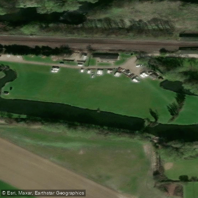
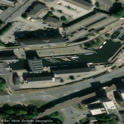
Learn how to get on River Don. Uncover great paddling access points, boat ramps, and all the facilities you need for an unforgettable day on the water. Some locations shown may border or include private property. Always check property boundaries and applicable regulations before visiting. PaddleWays's Public & Private Land layer can help you plan your access with confidence.
Paddle smarter with real-time insights
Whether you're en route and conditions shift or you're looking for the best spot based on current flows, we enable you to make informed decisions on the fly.








Find Places to Paddle

Over 400,000 Places to Paddle
Every user gets free access to launch points, boat ramps, and public property parcels.


Water and weather conditions (10 day forecast)
See the best times to paddle River Don and check the forecast before you go.
Doncaster
All Flow Stations
Paddling near River Don




Explore England waters
Top paddling waters
No waters available right now.
Popular Cities
Loading popular cities...
Explore near River Don

Smarter Paddling Starts in the App.
Paddleways gives you everything you need to plan smarter, paddle better, and own every trip from first launch to takeout.