Paddling in Peak District National Park
- National Park
- Lakes
- 58
- Rivers
- 215
- Access
- 0
- Boat Ramps
- 0
- Shops
- 0
The Peak District sits in the southern Pennines, straddling Derbyshire and Staffordshire, and its water comes in two distinct forms: the moorland rivers that drain off the gritstone edges and limestone dales, and the reservoirs built to supply the surrounding cities.
For paddlers, that distinction matters more than any map.
The rivers are there — the Derwent, the Dove, the Wye, the Goyt — but access to them within the national park boundary is genuinely difficult, and launching a kayak, canoe, or SUP within the national park itself is not straightforward.
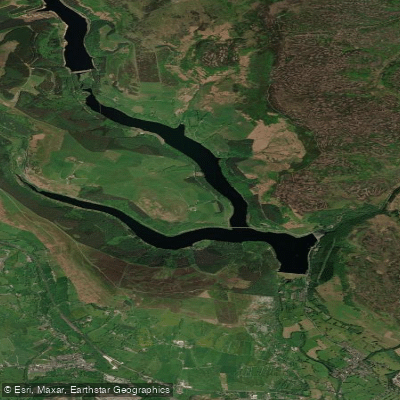
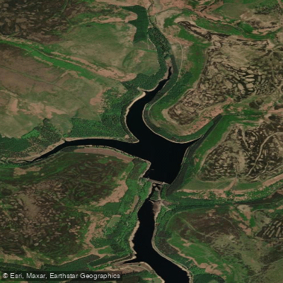
Ladybower Reservoir is the water most paddlers associate with the area. It is large, open, and calm, set among the forested ridges of the Upper Derwent valley.
You cannot simply launch from the bank — access is managed, a launch fee applies, and all paddlers are required to wear a buoyancy aid.
Operators such as Ladybower Paddlesports run hire, coaching, and guided sessions, and going through them is the practical route onto the water legally.
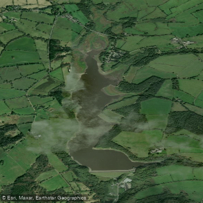
Tittesworth Reservoir, near the southern edge of the park, has an activity centre and is another managed flatwater venue. Both reservoirs suit touring and skill-building rather than moving water.
The rivers that paddlers are drawn to — the Derwent in particular — are more accessible just outside the park boundary.
Rapid Horizons operates from Cromford Mills on the Derwent, below Matlock, and the Cromford Canal nearby draws beginners and families for flatwater sessions.
Whaley Bridge Wharf, close to Buxton on the western side, is another put-in that sits just beyond the park line.
The pattern here is real and worth understanding before you plan a trip: the national park's rivers are not open-access paddling water in the way some other UK rivers are, and the practical paddling infrastructure — hire centres, managed launches, guided trips — clusters at the edges rather than the interior.
Come expecting managed flatwater and reservoir touring, check access carefully before approaching any river, and treat the boundary between the park and its fringes as a meaningful line on your planning map.
Top waters to paddle near Peak District National Park
Water and weather conditions (10 day forecast)
See the best times to paddle Peak District National Park and check the forecast before you go.
No forecast data available.
Paddle smarter with real-time insights
Whether you're en route and conditions shift or you're looking for the best spot based on current flows, we enable you to make informed decisions on the fly.







Paddling near Peak District National Park
Loading...
Gateway towns
Where to base yourself for paddling in Peak District National Park.
- BakewellDerbyshire
The park's main market town, centrally located in the White Peak with hotels, shops, and easy access to key trails and attractions.
- BuxtonDerbyshire
A large spa town on the park's western edge serving as a popular base with a wide range of accommodation and services.
- EdaleDerbyshire
A small village in the Dark Peak and the traditional starting point for the Pennine Way, popular with serious walkers.
- MatlockDerbyshire
A market town on the park's southeastern edge offering accommodation and a practical base for exploring the White Peak.
- AshbourneDerbyshire
A market town at the southern gateway to the park and the start of the Tissington Trail cycling and walking route.
Explore Peak District National Park
Top paddling waters
Popular Cities
Loading popular cities...

Smarter Paddling Starts in the App.
Paddleways gives you everything you need to plan smarter, paddle better, and own every trip from first launch to takeout.