Maigue Estuary
- Saltwater
- Estuary
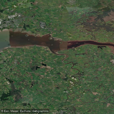
Maigue Estuary
- Saltwater
- Estuary
- Sq. miles
- 1.3
- Boat Ramps
- 0
- Access Points
- 0
- Campsites
- 0
The Maigue Estuary is a transitional saltwater body in County Limerick, Ireland, flowing into the Shannon Estuary. It is a tidal feature with no locks, historically used for navigation up to Adare. The tidal nature is confirmed by water level data from stations at Ferry Bridge Maigue and Adare Quay, indicating a significant tidal range and current. Key access points include Ferrybridge, located on the N69 coast road between Clarina and Kildimo, which historically featured an opening bridge, and Adare Quay. The upper reach of the estuary below Adare historically contained several head weirs for salmon, though their current status for navigation is not detailed. The harbour for Adare was historically at the end of a short canal near the ruins of the Trinitarian Abbey, which may present another potential access or point of interest. The estuary's inter-tidal area has been surveyed, and it is subject to the wider tidal influences of the Shannon Estuary. Water quality assessments have noted that the Maigue Estuary has exceeded relevant winter phosphorus and salinity-related standards, which paddlers may wish to consider. The area from Ferrybridge to Ringmoylan along The Bank Walk has been examined for potential as a birdwatching route, suggesting this stretch may offer wildlife viewing opportunities from the water. Paddlers must plan trips around the tidal cycle, anticipating strong currents, and should be aware of potential submerged historical structures like weirs.
Water access, boat ramps & amenities
Learn how to get on Maigue Estuary. Uncover great paddling access points, boat ramps, and all the facilities you need for an unforgettable day on the water. Some locations shown may border or include private property. Always check property boundaries and applicable regulations before visiting. PaddleWays's Public & Private Land layer can help you plan your access with confidence.
Paddle smarter with real-time insights
Whether you're en route and conditions shift or you're looking for the best spot based on current flows, we enable you to make informed decisions on the fly.







Co. Limerick licenses and regulations
No licenses or regulations available for Co. Limerick.
Find Places to Paddle

Over 400,000 Places to Paddle
Every user gets free access to launch points, boat ramps, and public property parcels.


Tides, wind & water conditions (10 day forecast)
On open water, wind and tide matter as much as the weather. See the best times to paddle Maigue Estuary and check the marine forecast before you launch.
Loading tide predictions…
Paddling near Maigue Estuary
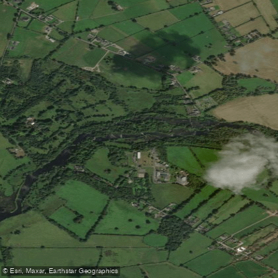
Shannon [Lower]
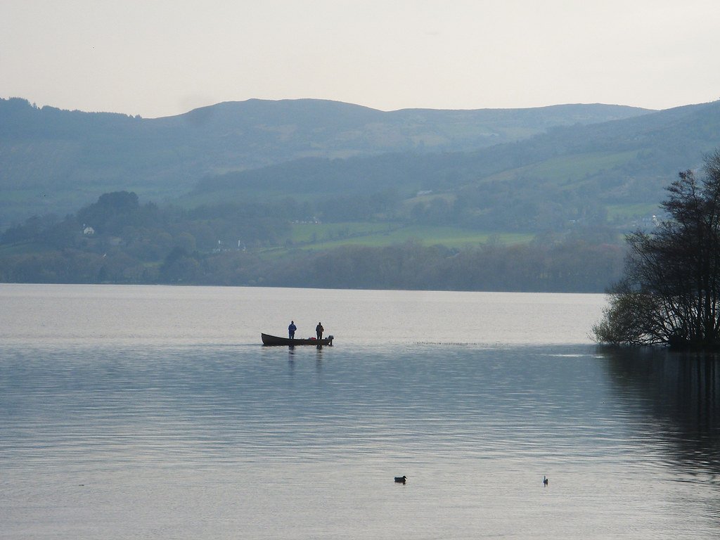
Lough Derg
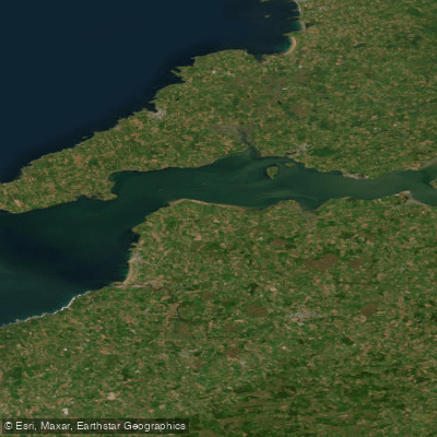
Shannon Estuary
Fergus
Maigue
Lower Shannon Estuary
Suir

Lough Corrib
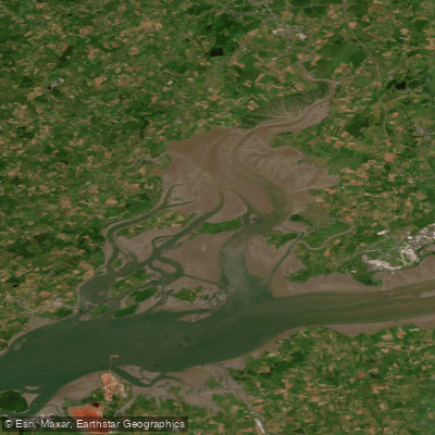
Fergus Estuary
Inagh [Ennistymon]
Explore Limerick waters
Top paddling waters
No waters available right now.
Popular Cities
Loading popular cities...
Explore near Maigue Estuary

Smarter Paddling Starts in the App.
Paddleways gives you everything you need to plan smarter, paddle better, and own every trip from first launch to takeout.