Owenmore [Mayo]
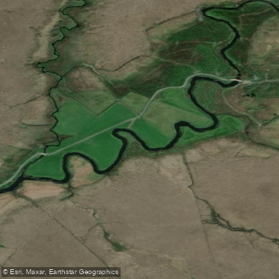
Owenmore [Mayo]
- Boat Ramps
- 0
- Access Points
- 0
- Campsites
- 0
The Owenmore River (Irish: An Abhainn Mhór, meaning "big river") is a spate river in northwest County Mayo, running approximately 47 kilometres in length. It rises in the Nephin Beg Range and flows first northwards before turning westwards through Bangor Erris and then southwestwards, eventually discharging into the Atlantic Ocean via Tullaghan Bay. The river drains a large catchment of bogs, moorland, and mountains, giving it the character typical of western Irish spate rivers — subject to rapid rises and falls in water level depending on rainfall conditions in the upland catchment. With an average discharge of 14.7 cubic metres per second, flows can vary considerably.
The river passes through the town of Bangor Erris and the settlement of Bellacorick, providing some reference points along its course. The surrounding landscape is predominantly open bog and moorland, characteristic of the remote Erris peninsula in northwest Mayo.
The Owenmore is a noted fishery for salmon, grilse, and brown trout. Fishing regulations restrict angling to artificial fly only on the freshwater and part of the tidal sections, and close seasons apply — salmon and sea trout from 1 October to 31 January, and brown trout from 1 October to 14 February. Paddlers should be aware of the river's status as an active fishery when planning trips, particularly during peak salmon and trout seasons.
Water access, boat ramps & amenities
Learn how to get on Owenmore [Mayo]. Uncover great paddling access points, boat ramps, and all the facilities you need for an unforgettable day on the water. Some locations shown may border or include private property. Always check property boundaries and applicable regulations before visiting. PaddleWays's Public & Private Land layer can help you plan your access with confidence.
Paddle smarter with real-time insights
Whether you're en route and conditions shift or you're looking for the best spot based on current flows, we enable you to make informed decisions on the fly.







Co. Mayo licenses and regulations
No licenses or regulations available for Co. Mayo.
Find Places to Paddle

Over 400,000 Places to Paddle
Every user gets free access to launch points, boat ramps, and public property parcels.


Water and weather conditions (10 day forecast)
See the best times to paddle Owenmore [Mayo] and check the forecast before you go.
No forecast data available.
Paddling near Owenmore [Mayo]
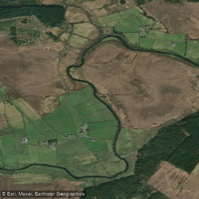
Deel [Crossmolina]
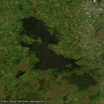
Lough Conn
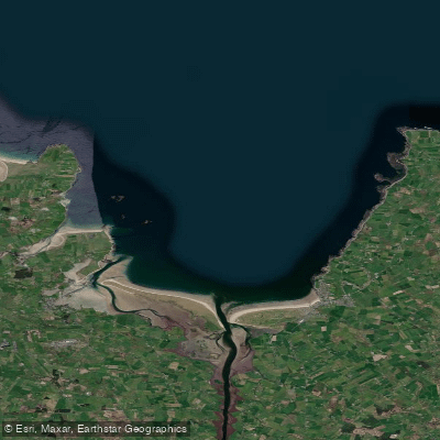
Killala Bay

Suck

Lough Corrib
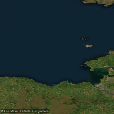
Donegal Bay Southern
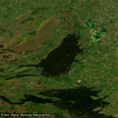
Lough Mask
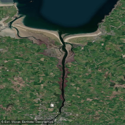
Moy Estuary
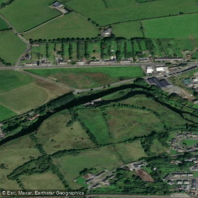
Boyle
Explore Mayo waters
Top paddling waters
No waters available right now.
Popular Cities
Loading popular cities...
Explore near Owenmore [Mayo]

Smarter Paddling Starts in the App.
Paddleways gives you everything you need to plan smarter, paddle better, and own every trip from first launch to takeout.