Waiari Stream
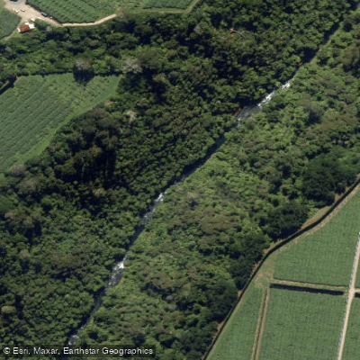
Waiari Stream
- Boat Ramps
- 0
- Access Points
- 0
- Campsites
- 0
The Waiari Stream is a spring-fed creek located in the Bay of Plenty region of New Zealand, draining through a Taupo Volcanic Zone ignimbrite gorge. Because it is spring-fed, it maintains a consistent flow year-round, making it a reliable run regardless of season. The water is notably crystal clear, and the gorge setting gives the run a distinctly picturesque character with numerous boof opportunities throughout.
Access to the stream requires prior permission, as both the put-in and take-out are on private land. Paddlers must contact the Kaimai Canoe Club before visiting — the club president can be reached at 021 156 3472 — to arrange access and obtain current landowner details. Accessing the land without permission is strongly discouraged, as it risks closing the run for everyone. The put-in is reached via Te Matai Road, off Tauranga East Road near Te Puke, heading north from Okere Falls on State Highway 33 for approximately 28 kilometres before turning onto Tauranga East Road, then left onto Te Matai Road after about 3.9 kilometres. As of late 2025, the access route at the put-in property has changed due to construction, and the current approach follows the gravel driveway to its end before descending a track — confirm the latest details with the Kaimai Canoe Club. The take-out is located at approximately 394 Te Matai Road.
The run is graded IV (III+ with one portage). The most significant hazard is a large falls — identifiable by a prominent horizon line opening into a wide pool — that should be scouted from the left bank. At the falls, a tight chute pushes left onto a shelf with serious ankle-break potential. The portage is strongly recommended here. Throughout the gorge, underwater ledges are prevalent, and jumping into pools is discouraged unless the landing zone has been physically cleared of obstacles by swimming or diving with goggles. An ankle injury in this gorge would be a serious situation given the remote access.
The Papamoa water supply infrastructure extracts water from the stream below the gorge, and a water pipe on river right just upstream of this point offers a potential emergency exit. The stream's role in the Papamoa water supply is worth noting as context for the overall water quality of the catchment.
At low flows the stream can appear marginal at the put-in, but typically provides sufficient water for the run.
Water access, boat ramps & amenities
Learn how to get on Waiari Stream. Uncover great paddling access points, boat ramps, and all the facilities you need for an unforgettable day on the water. Some locations shown may border or include private property. Always check property boundaries and applicable regulations before visiting. PaddleWays's Public & Private Land layer can help you plan your access with confidence.
Paddle smarter with real-time insights
Whether you're en route and conditions shift or you're looking for the best spot based on current flows, we enable you to make informed decisions on the fly.







Bay Of Plenty licenses and regulations
No licenses or regulations available for Bay Of Plenty.
Find Places to Paddle

Over 400,000 Places to Paddle
Every user gets free access to launch points, boat ramps, and public property parcels.


Water and weather conditions (10 day forecast)
See the best times to paddle Waiari Stream and check the forecast before you go.
No forecast data available.
Paddling near Waiari Stream
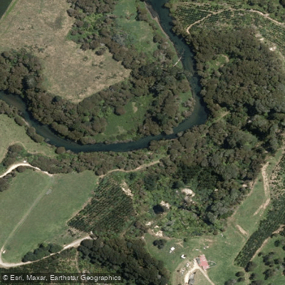
Kaituna River
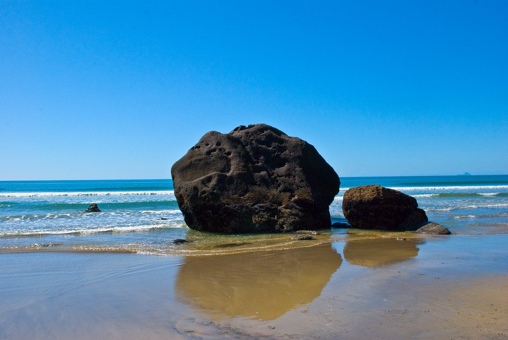
Bay of Plenty
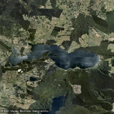
Lake Rotoiti / Te Roto Kite Ā Ihenga I Ariki Ai Kahu
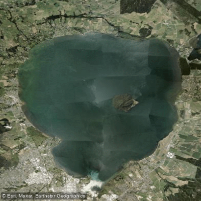
Lake Rotorua / Te Rotorua Nui Ā Kahumatamomoe
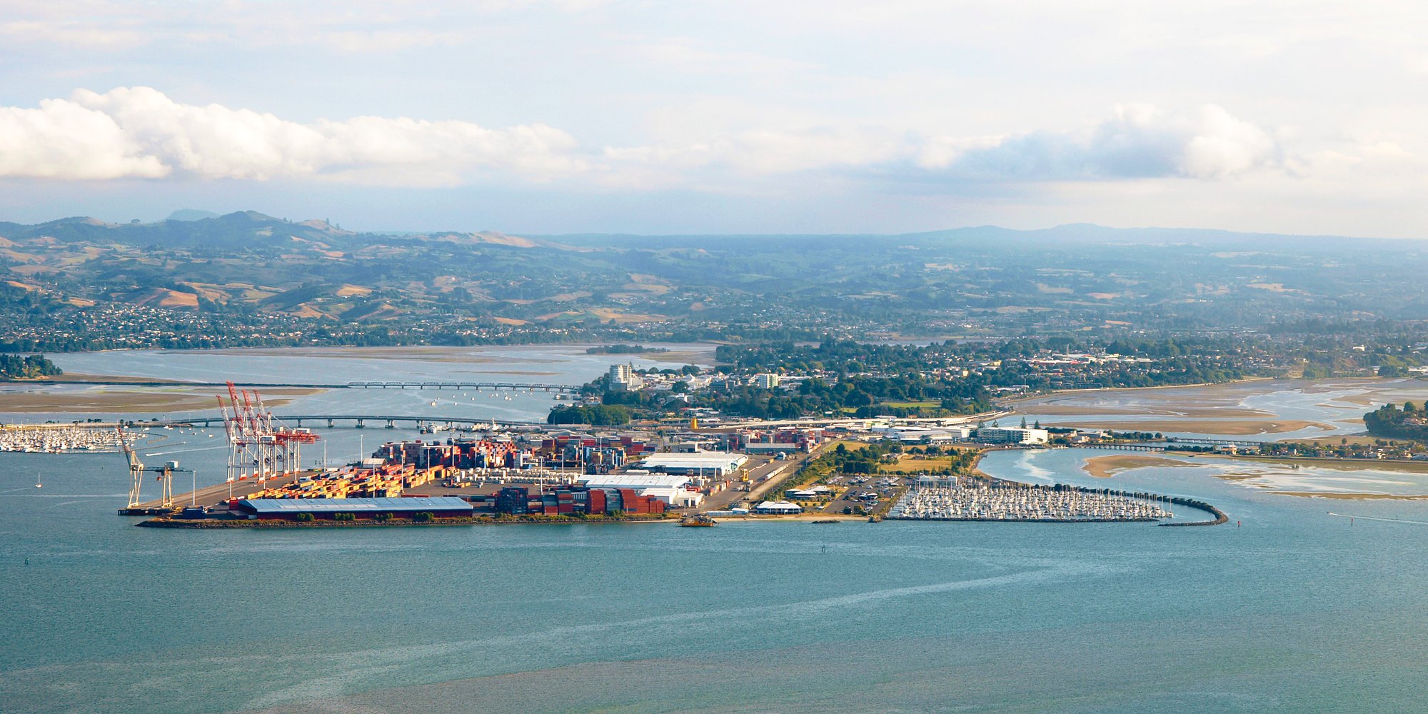
Tauranga Harbour
Opuiaki River
Mangapapa River
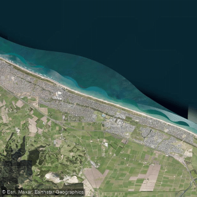
Pāpāmoa Beach
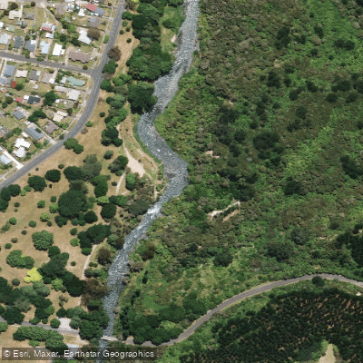
Tarawera River
Explore Bay Of Plenty waters
Top paddling waters
No waters available right now.
Popular Cities
Loading popular cities...
Explore near Waiari Stream

Smarter Paddling Starts in the App.
Paddleways gives you everything you need to plan smarter, paddle better, and own every trip from first launch to takeout.