Mōtū River
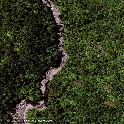
Mōtū River
- Boat Ramps
- 0
- Access Points
- 0
- Campsites
- 1
The Mōtū River drains the eastern portion of New Zealand's North Island, flowing through the Raukumara Range — notably the last area in New Zealand to be fully mapped. This geographical history contributes to the river's character: it passes through rugged, remote terrain with a notable absence of roads and human settlement, making it one of the more genuinely wilderness-oriented multi-day trips available on the North Island.
The river is typically run as a three-day trip, though some groups take four days. It is rated Class 3/4 whitewater and is suitable for kayaks, rafts, and tandem craft. The continuous nature of the rapids is considered unusual for the North Island, and the length of the run combined with limited road access gives the trip an adventurous quality. Rapids are largely read-and-run in character.
Campsites are distributed along the river banks and vary from open sandy beaches to established hunters' camps. Firewood is reported to be plentiful. The surrounding wilderness supports red deer, wild goats, and raptors. The river also sees occasional helicopter-accessed hunters and fishermen, but human traffic is generally sparse.
Tours depart from Ōpōtiki in the Bay of Plenty region, which provides a reference point for logistics. Jet boat tours also operate on the river, which paddlers should be aware of when planning their trip.
The river has been described in New Zealand guidebooks as warranting paddlers to "jump at any opportunity" to run it, reflecting its standing as one of the North Island's premier multi-day paddling routes. Groups of mixed backgrounds tend to find the multi-day format conducive to a social experience around camp. The combination of continuous whitewater, wildlife, and roadless wilderness makes it a distinctive option compared to more accessible North Island runs.
Water access, boat ramps & amenities
Learn how to get on Mōtū River. Uncover great paddling access points, boat ramps, and all the facilities you need for an unforgettable day on the water. Some locations shown may border or include private property. Always check property boundaries and applicable regulations before visiting. PaddleWays's Public & Private Land layer can help you plan your access with confidence.
Paddle smarter with real-time insights
Whether you're en route and conditions shift or you're looking for the best spot based on current flows, we enable you to make informed decisions on the fly.







Gisborne licenses and regulations
No licenses or regulations available for Gisborne.
Find Places to Paddle

Over 400,000 Places to Paddle
Every user gets free access to launch points, boat ramps, and public property parcels.


Water and weather conditions (10 day forecast)
See the best times to paddle Mōtū River and check the forecast before you go.
No forecast data available.
Paddling near Mōtū River
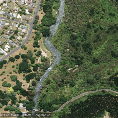
Tarawera River
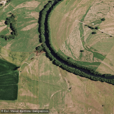
Rangitaiki River
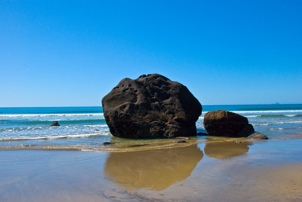
Bay of Plenty
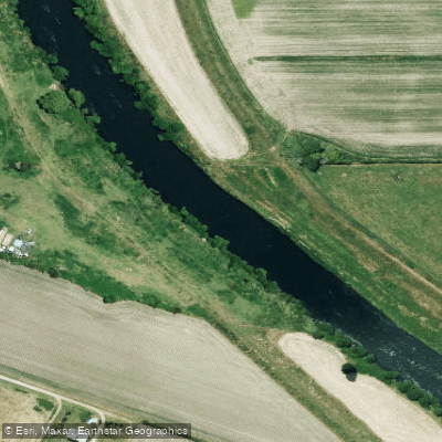
Rangitāiki River
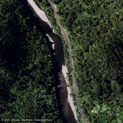
Waioweka River
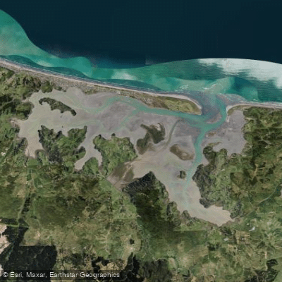
Ōhiwa Harbour
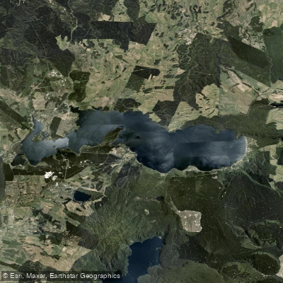
Lake Rotoiti / Te Roto Kite Ā Ihenga I Ariki Ai Kahu
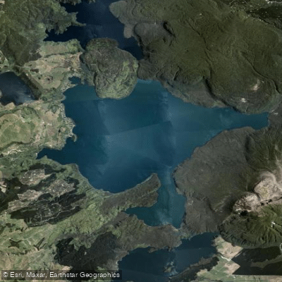
Lake Tarawera
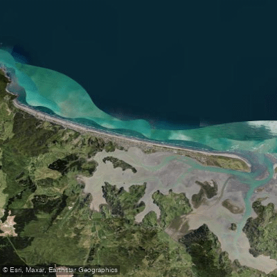
Ōhope Beach
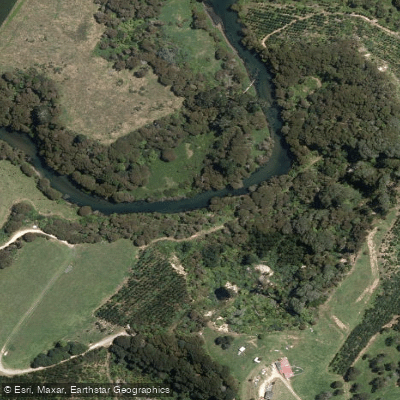
Kaituna River
Explore Gisborne waters
Top paddling waters
No waters available right now.
Popular Cities
Loading popular cities...
Explore near Mōtū River

Smarter Paddling Starts in the App.
Paddleways gives you everything you need to plan smarter, paddle better, and own every trip from first launch to takeout.