Rotokakahi River
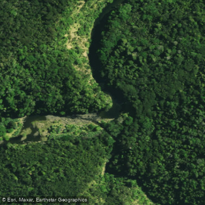
Rotokakahi River
- Boat Ramps
- 0
- Access Points
- 0
- Campsites
- 0
The Rotokakahi River flows in a broad, sweeping south-westerly arc from the township of Broadwood into the southern arm of the Whangape Harbour in Northland, New Zealand. The river runs approximately 30 kilometres in length with an average gradient of 1:395 (2.5m/km), making it an essentially flat waterway throughout its course.
The river is tidal for a considerable portion of its lower reaches, and the character of the water is flat and muddy with snags present. Motor launches can navigate approximately 6 kilometres to the road bridge, while jet boats can travel around 10 kilometres to the edge of Warawara State Forest. The river is rated Grade 1. Drift boats and rafts are considered unsuitable due to insufficient current.
For canoeists and kayakers, the tidal and flat nature of the river means paddling conditions are heavily dependent on tidal state. The presence of snags throughout the river is a notable hazard to be aware of when planning a trip. The overall aesthetic character of the river has been described as uninspiring, and its recreational value is considered insignificant for paddling purposes.
The Mangonuiowae River, a south-flowing tributary approximately 27 kilometres long with a similar gradient of 2.5m/km, joins the Rotokakahi near Broadwood. The confluence is located in the Hokianga/North Cape map sheet area.
Given the flat gradient, tidal influence, muddy conditions, and presence of snags, the Rotokakahi River offers very limited appeal for recreational paddling. Those considering a trip should account for tidal timing when planning access and egress, and exercise caution regarding submerged snags throughout the navigable reaches.
Water access, boat ramps & amenities
Learn how to get on Rotokakahi River. Uncover great paddling access points, boat ramps, and all the facilities you need for an unforgettable day on the water. Some locations shown may border or include private property. Always check property boundaries and applicable regulations before visiting. PaddleWays's Public & Private Land layer can help you plan your access with confidence.
Paddle smarter with real-time insights
Whether you're en route and conditions shift or you're looking for the best spot based on current flows, we enable you to make informed decisions on the fly.







Northland licenses and regulations
No licenses or regulations available for Northland.
Find Places to Paddle

Over 400,000 Places to Paddle
Every user gets free access to launch points, boat ramps, and public property parcels.


Water and weather conditions (10 day forecast)
See the best times to paddle Rotokakahi River and check the forecast before you go.
No forecast data available.
Paddling near Rotokakahi River
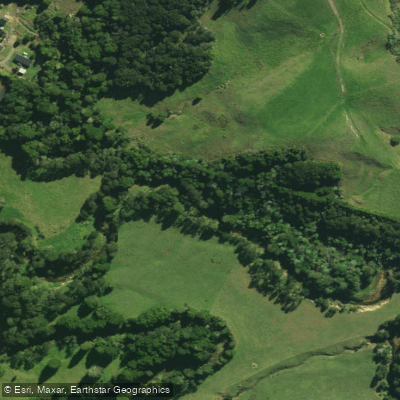
Waitangi River
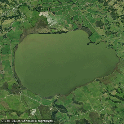
Lake Ōmāpere
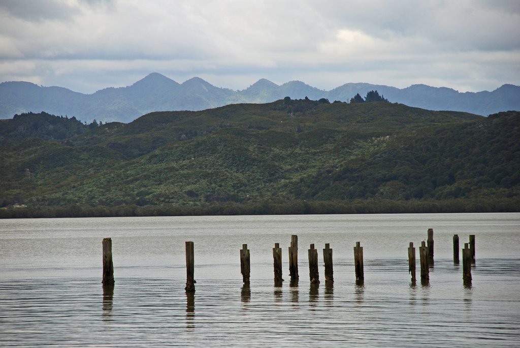
Hokianga Harbour
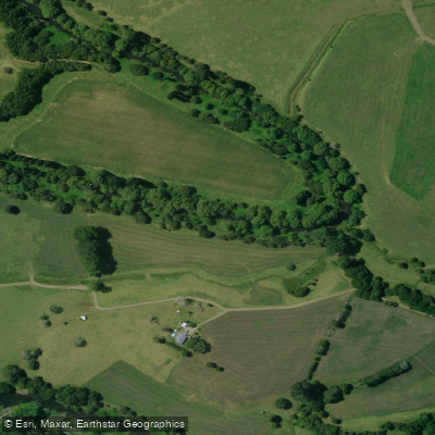
Mangakahia River
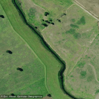
Kaihu River
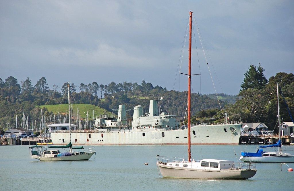
Bay of Islands
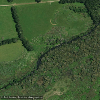
Punakitere River
Waimā River
Whangaroa Harbour
Waimamaku River
Explore Northland waters
Top paddling waters
No waters available right now.
Popular Cities
Loading popular cities...
Explore near Rotokakahi River

Smarter Paddling Starts in the App.
Paddleways gives you everything you need to plan smarter, paddle better, and own every trip from first launch to takeout.