Waiotu River
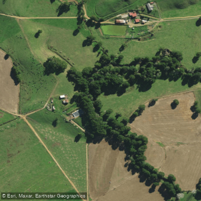
Waiotu River
- Boat Ramps
- 0
- Access Points
- 0
- Campsites
- 0
The Waiotu River is located in Northland, New Zealand, in the upper catchment of what eventually becomes the Wairua River system. It originates in hilly country to the north-west of Whangarei and flows through a landscape that transitions from bush and scrub-covered hill country in the upper reaches to rural farmland in the lower sections.
The river has a very low gradient, which produces an extremely meandering course that has been described as having the appearance of a drain. Much of the lower river runs through former swamplands that have been artificially channelled and drained, with cut channels through farmland designed to speed up drainage. Willows are common along the lower banks. The overall aesthetic is considered dull, and the artificial drainage works do not enhance the scenic qualities of the river.
From a paddling perspective, the Waiotu is considered unsuitable for pack floating due to muddy water and log snags. These hazards are the primary safety considerations for anyone considering paddling the river. The water is muddy, which is consistent with the low-gradient, heavily modified character of the waterway. Swimming is little used on the river, likely due to the proximity of better surf and swimming options near Whangarei.
The Waiotu is noted as one of two rivers in the broader Wairua system — along with the Whakapara — that are normally considered of some value for recreational canoeing. However, given the described conditions of muddy water, log snags, low gradient, and heavily modified channel, paddlers should approach with modest expectations. The river joins the Whakapara before continuing as part of the Wairua system, and below that junction the river channel has been further straightened as part of the Hikurangi Swamp Drainage Scheme, leaving the banks bare of trees and shrubbery.
Water access, boat ramps & amenities
Learn how to get on Waiotu River. Uncover great paddling access points, boat ramps, and all the facilities you need for an unforgettable day on the water. Some locations shown may border or include private property. Always check property boundaries and applicable regulations before visiting. PaddleWays's Public & Private Land layer can help you plan your access with confidence.
Paddle smarter with real-time insights
Whether you're en route and conditions shift or you're looking for the best spot based on current flows, we enable you to make informed decisions on the fly.







Northland licenses and regulations
No licenses or regulations available for Northland.
Find Places to Paddle

Over 400,000 Places to Paddle
Every user gets free access to launch points, boat ramps, and public property parcels.


Water and weather conditions (10 day forecast)
See the best times to paddle Waiotu River and check the forecast before you go.
Waiotu at SH1 Br
Paddling near Waiotu River
Waitangi River
Mangakahia River
Bay of Islands
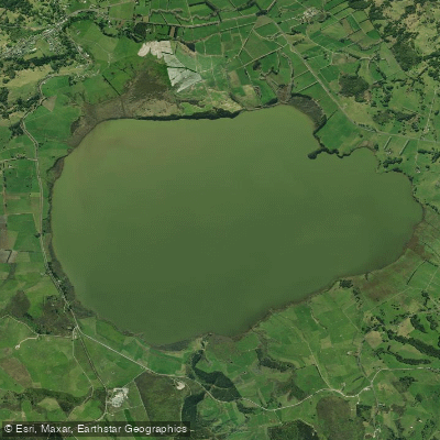
Lake Ōmāpere
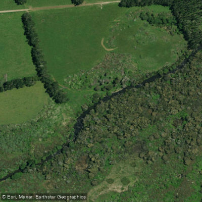
Punakitere River
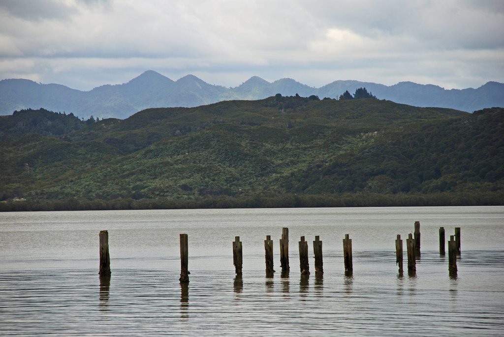
Hokianga Harbour
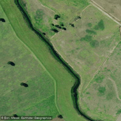
Kaihu River
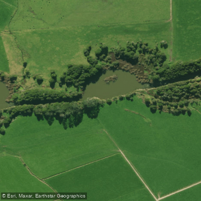
Wairua River
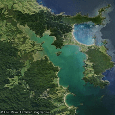
Whangaruru Harbour
Explore Northland waters
Top paddling waters
No waters available right now.
Popular Cities
Loading popular cities...
Explore near Waiotu River

Smarter Paddling Starts in the App.
Paddleways gives you everything you need to plan smarter, paddle better, and own every trip from first launch to takeout.