Whangaruru Harbour
- Saltwater
- Harbor
Whangaruru Harbour
- Saltwater
- Harbor
- Sq. miles
- 4.9
- Boat Ramps
- 0
- Access Points
- 0
- Campsites
- 3
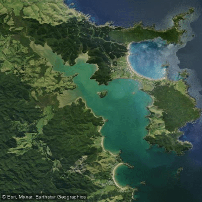
Whangaruru Harbour is a large, visually stunning coastal harbour located on the Tutukaka Coast north of Whangarei. Its name translates to "bay of shelter," and it is characterized by a long, southeast-facing shape with numerous sheltered bays and anchorages along its shores. The harbour entrance is flanked by several outlying islands, including the jagged Rimariki and Motuwharariki (Wide Berth Islands), which provide protection from ocean swells. The shoreline is dotted with small communities, dense forests, and historic Māori pā sites, reflecting the area's significance to Ngātiwai. The harbour is known for its remote, scenic character and is a popular sheltered anchorage for boats.
Primary access points for paddlers include boat ramps at Whangaruru Beach, located at the harbour's mouth, and at Ōakura Bay, adjacent to the deep water entrance. Ōakura Bay offers generous parking and a general store for supplies. The harbour's sheltered nature makes it suitable for kayaking and paddleboarding, with calm, flat water typical inside the bays, though ocean swells can be present at the entrance. Paddlers will share the water with other vessels, including occasional boat traffic from the ramps and cruising yachts. Paddlers should consult local tide charts to understand tidal range and current patterns for safe trip planning.
Notable features within the harbour include Mimiwhangata Bay in the south, with its DOC campsite and golden sand beaches like Waikahoua. Puriri Bay, on the Whangaruru peninsula, offers a basic campsite. The harbour's upper reaches extend to the Racehorse River. Wildlife sightings may include pods of dolphins and orca. The best time for paddling is during the warmer months from December to March, while winter months from June to August are less ideal. Paddlers should be self-sufficient as there are no lifeguard services.
Water access, boat ramps & amenities
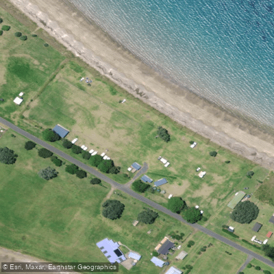
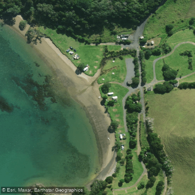
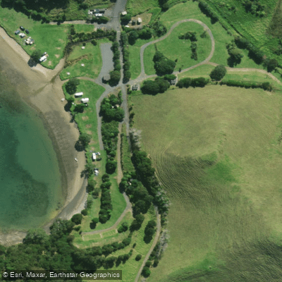
Learn how to get on Whangaruru Harbour. Uncover great paddling access points, boat ramps, and all the facilities you need for an unforgettable day on the water. Some locations shown may border or include private property. Always check property boundaries and applicable regulations before visiting. PaddleWays's Public & Private Land layer can help you plan your access with confidence.
Paddle smarter with real-time insights
Whether you're en route and conditions shift or you're looking for the best spot based on current flows, we enable you to make informed decisions on the fly.







Northland licenses and regulations
No licenses or regulations available for Northland.
Find Places to Paddle

Over 400,000 Places to Paddle
Every user gets free access to launch points, boat ramps, and public property parcels.


Tides, wind & water conditions (10 day forecast)
On open water, wind and tide matter as much as the weather. See the best times to paddle Whangaruru Harbour and check the marine forecast before you launch.
Loading tide predictions…
Paddling near Whangaruru Harbour
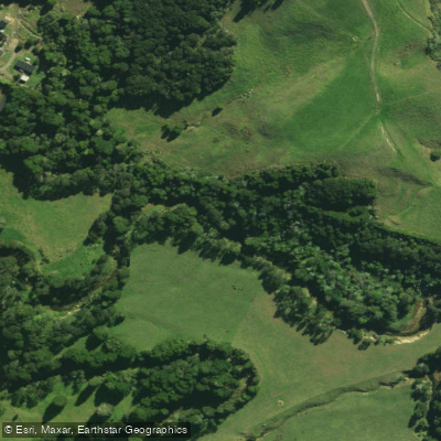
Waitangi River
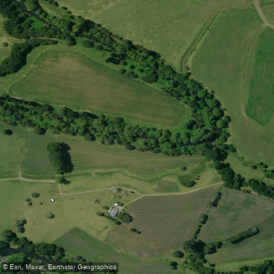
Mangakahia River
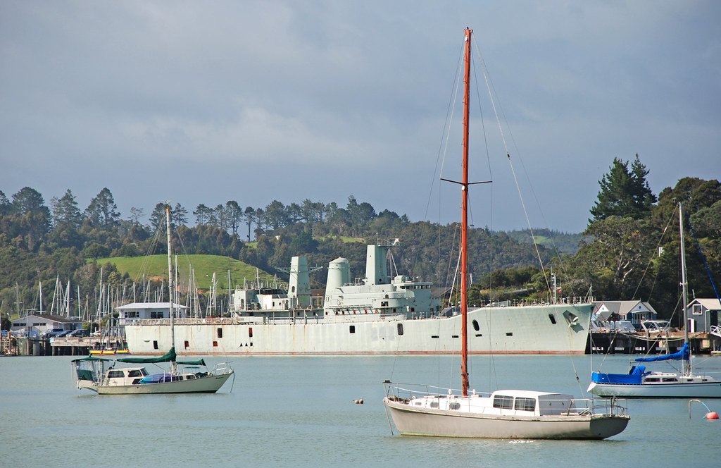
Bay of Islands
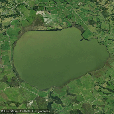
Lake Ōmāpere
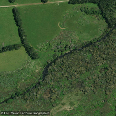
Punakitere River
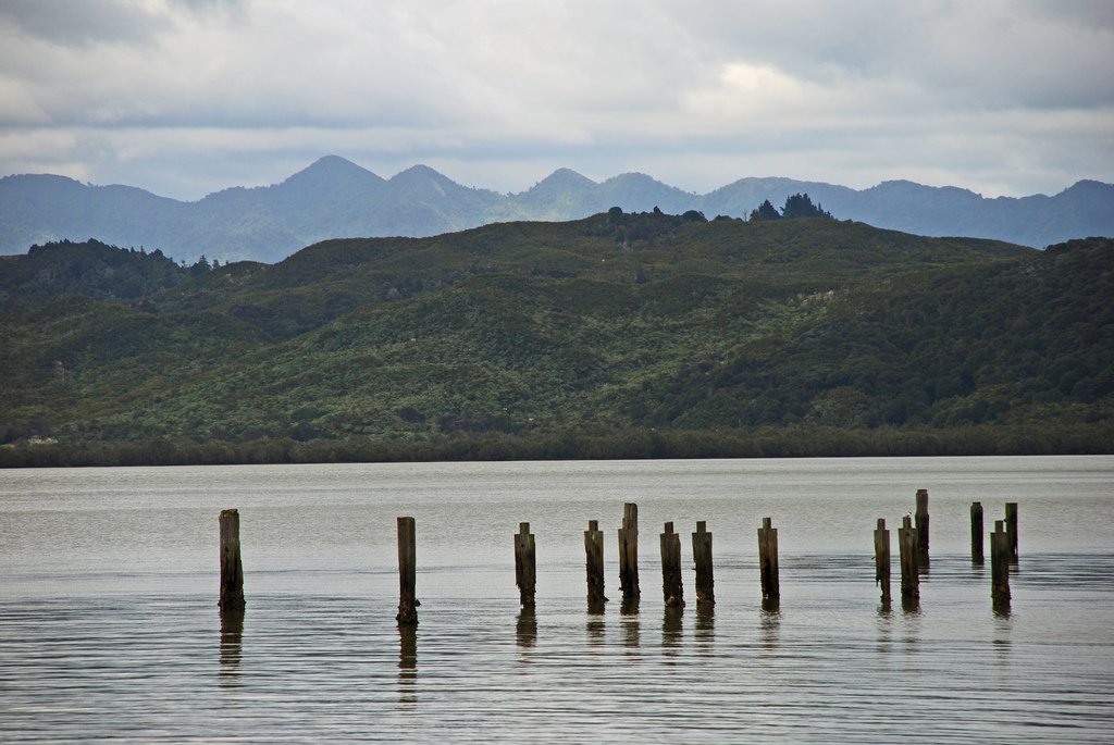
Hokianga Harbour
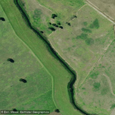
Kaihu River
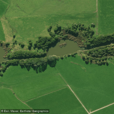
Wairua River
Waiotu River
Explore Northland waters
Top paddling waters
No waters available right now.
Popular Cities
Loading popular cities...
Explore near Whangaruru Harbour

Smarter Paddling Starts in the App.
Paddleways gives you everything you need to plan smarter, paddle better, and own every trip from first launch to takeout.