Caples River
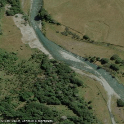
Caples River
- Boat Ramps
- 0
- Access Points
- 0
- Campsites
- 2
The Caples River flows through a beech-lined valley in the Otago region near Glenorchy, draining into the Greenstone River before reaching Lake Wakatipu. The river is accessed via the Greenstone Road End car park, approximately 86 kilometres from Queenstown or 35 kilometres from Glenorchy, with most of the road past Glenorchy being unsealed and requiring several river fords that can become impassable after heavy rain.
The river offers a range of difficulty levels depending on the section paddled. The upper stretch from the Fraser Creek confluence down to the Upper Gorge runs at grade II-, with pleasant pool-drop character through beech forest. The Upper Gorge itself is rated grade IV or portage, and requires thorough scouting before entry — the gorge narrows significantly and logs tend to accumulate into dangerous sieves. Most paddlers portage this section on river right along the Caples track. The Mid Caples Gorge is rated IV+ or portage, and paddlers should eddy out early on river right as they approach. The section from the base of the Mid Caples Gorge to the Greenstone swing-bridge runs at grade II.
The best put-in for a full run is at the confluence of the Caples and Fraser Creek, reached by following the Fraser/Kay Creek track from the main Caples track to the swing-bridge, then continuing upstream on river right via the old Caples track with orange markers. The take-out is at the Greenstone swing-bridge near the Caples/Greenstone confluence, approximately 30 to 40 minutes' walk from the road end car park.
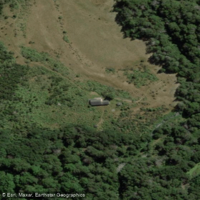
The total paddling distance from the Mid Caples Hut to the confluence is around 9 kilometres. Even though the associated tramp is only 4 to 5 hours, the full trip commonly takes all day when scouting gorges is factored in, making a two-day itinerary advisable. The Mid Caples Hut, which sleeps 24, provides an overnight option mid-route.
The river is open to fishing under an Otago Designated Waters Licence from 1 November to 31 May, and the valley holds good populations of rainbow and brown trout, particularly in the deeper pools. Sandflies are noted as a significant nuisance, particularly around hut locations in the valley.
Water access, boat ramps & amenities
Learn how to get on Caples River. Uncover great paddling access points, boat ramps, and all the facilities you need for an unforgettable day on the water. Some locations shown may border or include private property. Always check property boundaries and applicable regulations before visiting. PaddleWays's Public & Private Land layer can help you plan your access with confidence.
Paddle smarter with real-time insights
Whether you're en route and conditions shift or you're looking for the best spot based on current flows, we enable you to make informed decisions on the fly.







Otago licenses and regulations
No licenses or regulations available for Otago.
Find Places to Paddle

Over 400,000 Places to Paddle
Every user gets free access to launch points, boat ramps, and public property parcels.


Water and weather conditions (10 day forecast)
See the best times to paddle Caples River and check the forecast before you go.
No forecast data available.
Paddling near Caples River
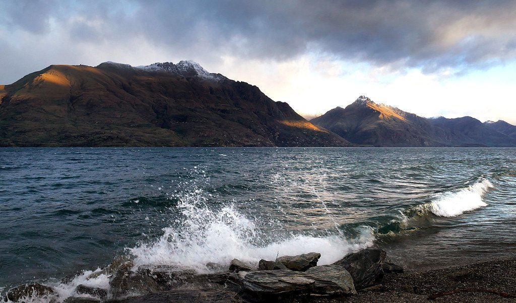
Lake Wakatipu
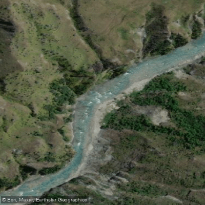
Shotover River
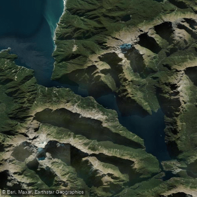
Milford Sound / Piopiotahi
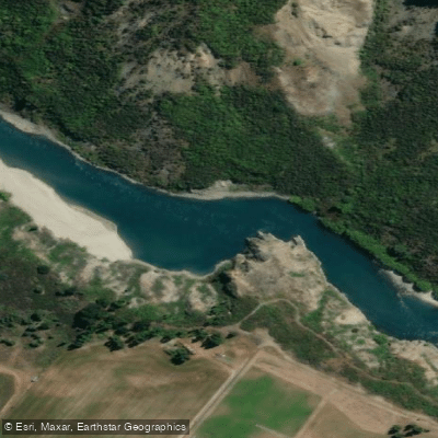
Kawarau River
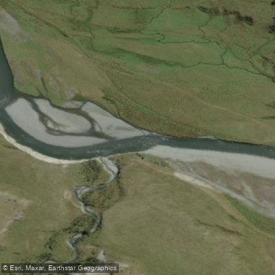
Greenstone River
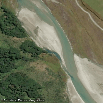
Rees River
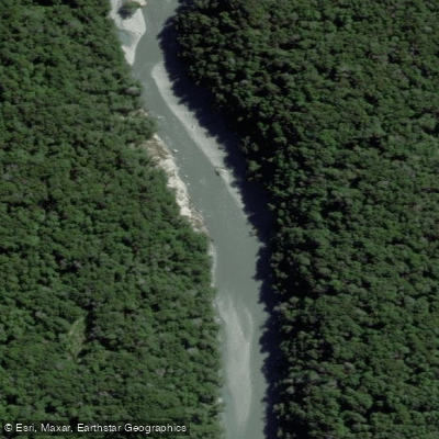
Dart River / Te Awa Whakatipu
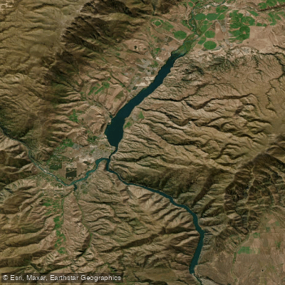
Lake Dunstan

Clutha River / Mata-Au
Explore Otago waters
Top paddling waters
No waters available right now.
Popular Cities
Loading popular cities...
Explore near Caples River

Smarter Paddling Starts in the App.
Paddleways gives you everything you need to plan smarter, paddle better, and own every trip from first launch to takeout.