Greenstone River
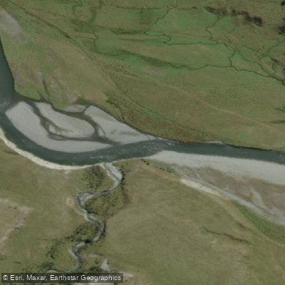
Greenstone River
- Boat Ramps
- 0
- Access Points
- 0
- Campsites
- 2
The Greenstone River is located in the Glenorchy area of New Zealand's South Island, draining a valley that has served as a travel corridor since the earliest human settlement of the region. The Waitaha, Kāti Māmoe, and Ngāi Tahu all used the Greenstone and Hollyford valleys as access routes between the West Coast and Central Otago, travelling in search of pounamu (greenstone), the pearly grey-green variety found in this area and prized for tools and weapons.
For paddlers, the river is rated Grade III to IV and is considered a strong intermediate run, offering challenging whitewater alongside significant scenery. The river includes a notable Middle Gorge section, which may require portaging at lower water levels. A log hazard has been reported near the confluence at head height, which could present additional risk at higher flows. Paddlers should assess current water levels carefully before committing to the run; the Dart River gauge is commonly used as a reference, with flows around 60 on that gauge considered workable though somewhat low.
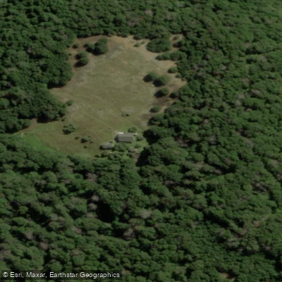
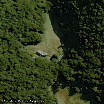
Access begins at the Greenstone car park, from which paddlers follow the start of the Caples Track, cross a swingbridge, and proceed along the true left of the Greenstone. The walk-in to Slip Flat takes approximately 2.5 hours and provides the main put-in for the full run. Slip Flat Hut, a 3-bunk facility, offers the option of an overnight stay before paddling out. There are also a couple of spots where the track meets the river earlier, allowing for a shorter trip that bypasses the Middle Gorge. The paddle-out from the middle section takes approximately 2.5 hours.
The river can be completed as a long day trip, an overnight trip, or as part of a larger multi-day packrafting mission. The route is shared with trampers using the Greenstone Track, so paddlers carrying packrafts and paddles should expect to encounter foot traffic on the access trail.
Anglers also use the Greenstone River, and a Controlled Fishery Period operates on the upper river from 1 February to 31 March each year, restricting access to booked anglers on designated beats. Paddlers planning trips during this period should be aware of potential interactions with anglers in the upper sections of the river.
Water access, boat ramps & amenities
Learn how to get on Greenstone River. Uncover great paddling access points, boat ramps, and all the facilities you need for an unforgettable day on the water. Some locations shown may border or include private property. Always check property boundaries and applicable regulations before visiting. PaddleWays's Public & Private Land layer can help you plan your access with confidence.
Paddle smarter with real-time insights
Whether you're en route and conditions shift or you're looking for the best spot based on current flows, we enable you to make informed decisions on the fly.







Otago licenses and regulations
No licenses or regulations available for Otago.
Find Places to Paddle

Over 400,000 Places to Paddle
Every user gets free access to launch points, boat ramps, and public property parcels.


Water and weather conditions (10 day forecast)
See the best times to paddle Greenstone River and check the forecast before you go.
No forecast data available.
Paddling near Greenstone River
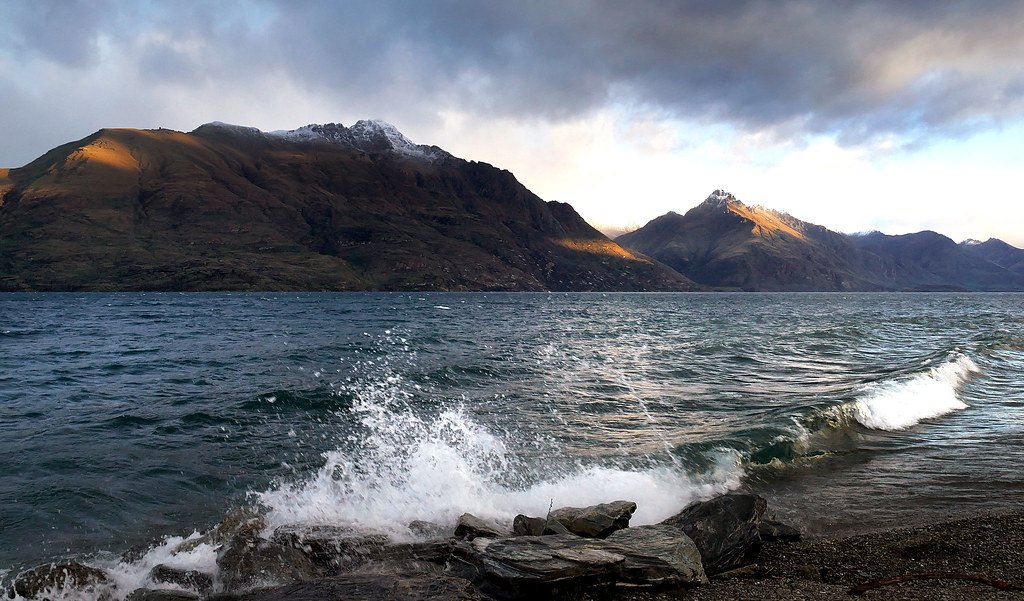
Lake Wakatipu
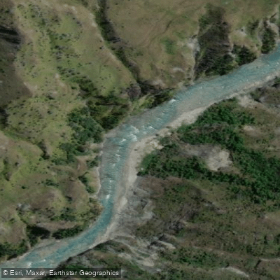
Shotover River
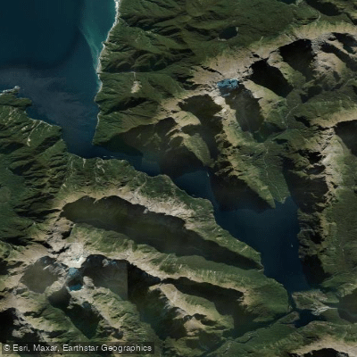
Milford Sound / Piopiotahi
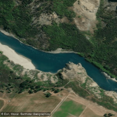
Kawarau River
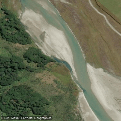
Rees River
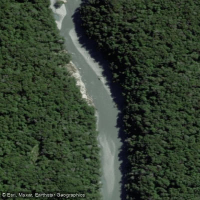
Dart River / Te Awa Whakatipu
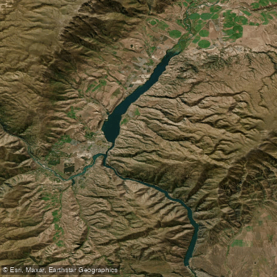
Lake Dunstan

Clutha River / Mata-Au
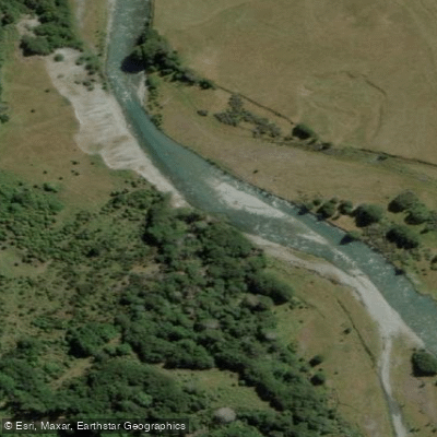
Caples River
Explore Otago waters
Top paddling waters
No waters available right now.
Popular Cities
Loading popular cities...
Explore near Greenstone River

Smarter Paddling Starts in the App.
Paddleways gives you everything you need to plan smarter, paddle better, and own every trip from first launch to takeout.