Eglinton River
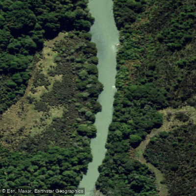
Eglinton River
- Boat Ramps
- 0
- Access Points
- 0
- Campsites
- 4
The Eglinton River flows for 50 kilometres through Fiordland National Park in the Southland region of New Zealand's South Island, draining south from its headwaters near Lake Fergus (West Branch) and an East Branch confluence before emptying into Lake Te Anau along the lake's eastern shore. For much of its length, the river runs parallel to State Highway 94, the Te Anau to Milford Sound road, which provides numerous easy access points for paddlers without requiring travel across private land.
The river divides naturally into two distinct paddling characters. The upper section, from Cascade Creek to Mistake Creek, offers more challenging conditions. Below the confluence with Mistake Creek, the West Branch transitions to predominantly grade I water with occasional grade II rapids, making it accessible to beginners when accompanied by more experienced paddlers. Despite the relatively low technical grade, real hazards persist throughout — logs, strainers, rocks, and trees in the wave train are present in both single-channel sections and braids and require constant vigilance. The gorge section also demands attention.
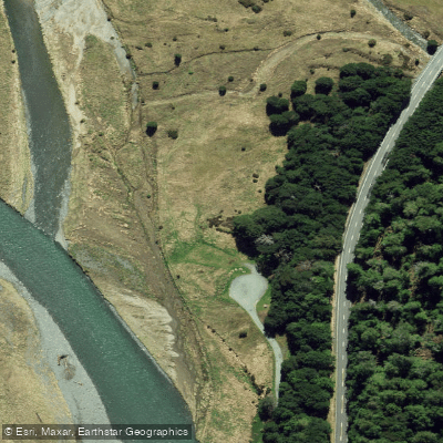
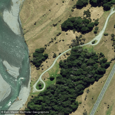
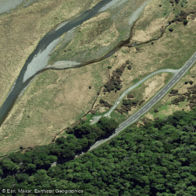
Access points along the highway include Eglinton Flat (the highest practical roadside put-in), Deer Flat campsite, McKay Creek campsite, and Walker Creek campsite. Note that above the Mistake Creek confluence, the water is grade III with additional hazards. The lower option is to paddle all the way to Lake Te Anau, though the access road to the river mouth is rough in places. The DOC campgrounds along the highway make half-day, full-day, or overnight trips straightforward to plan.
Didymo (Didymosphenia geminata) is established in the Eglinton River, and paddlers must follow MPI biosecurity guidelines for cleaning equipment before and after use to avoid spreading this invasive algae to other waterways.
Fishing regulations prohibit fishing from any boat or flotation device in the Eglinton River, which is worth noting for paddlers who might otherwise combine activities. The fishing season runs November 1 to May 31, indicating the river carries trout and sees angler activity during warmer months. The southern end of the Milford Track is located close to the river, placing the paddling corridor within a well-known tramping area of significant natural character.
Water access, boat ramps & amenities
Learn how to get on Eglinton River. Uncover great paddling access points, boat ramps, and all the facilities you need for an unforgettable day on the water. Some locations shown may border or include private property. Always check property boundaries and applicable regulations before visiting. PaddleWays's Public & Private Land layer can help you plan your access with confidence.
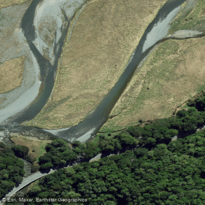
Paddle smarter with real-time insights
Whether you're en route and conditions shift or you're looking for the best spot based on current flows, we enable you to make informed decisions on the fly.







Southland licenses and regulations
No licenses or regulations available for Southland.
Find Places to Paddle

Over 400,000 Places to Paddle
Every user gets free access to launch points, boat ramps, and public property parcels.


Water and weather conditions (10 day forecast)
See the best times to paddle Eglinton River and check the forecast before you go.
No forecast data available.
Paddling near Eglinton River
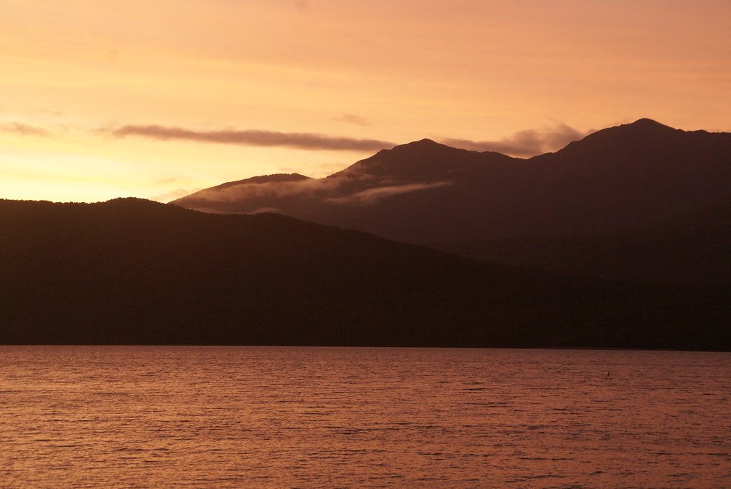
Lake Te Anau
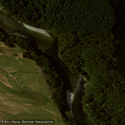
Waiau River
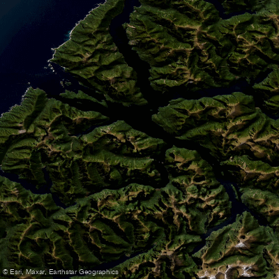
Doubtful Sound / Patea
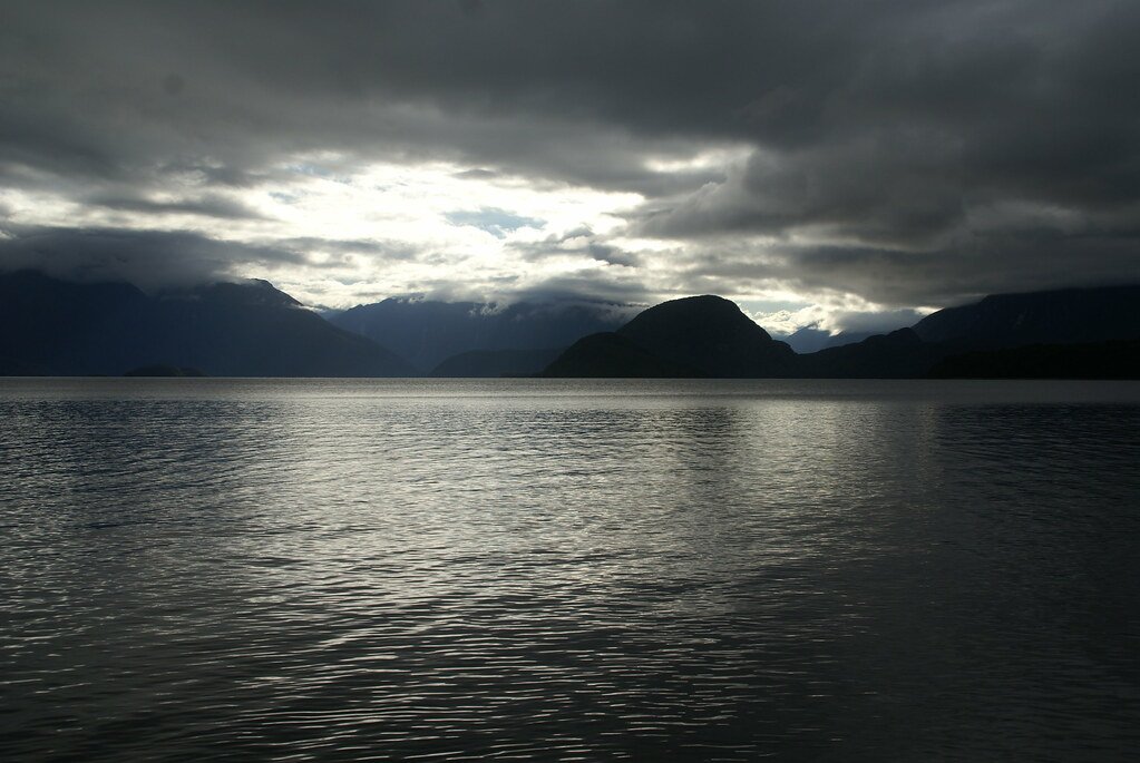
Lake Manapouri
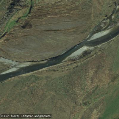
Mararoa River
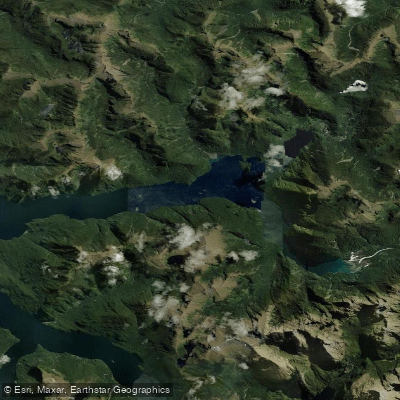
Kaikiekie / Bradshaw Sound
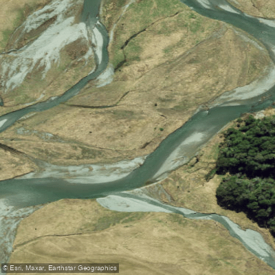
Eglinton River West Branch
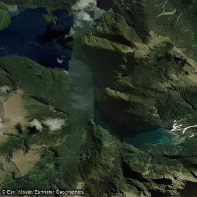
Kutupārera / Gaer Arm
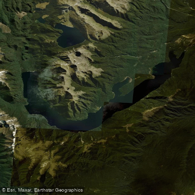
Lake Monowai
Explore Southland waters
Top paddling waters
No waters available right now.
Popular Cities
Loading popular cities...
Explore near Eglinton River

Smarter Paddling Starts in the App.
Paddleways gives you everything you need to plan smarter, paddle better, and own every trip from first launch to takeout.