Lake Te Anau
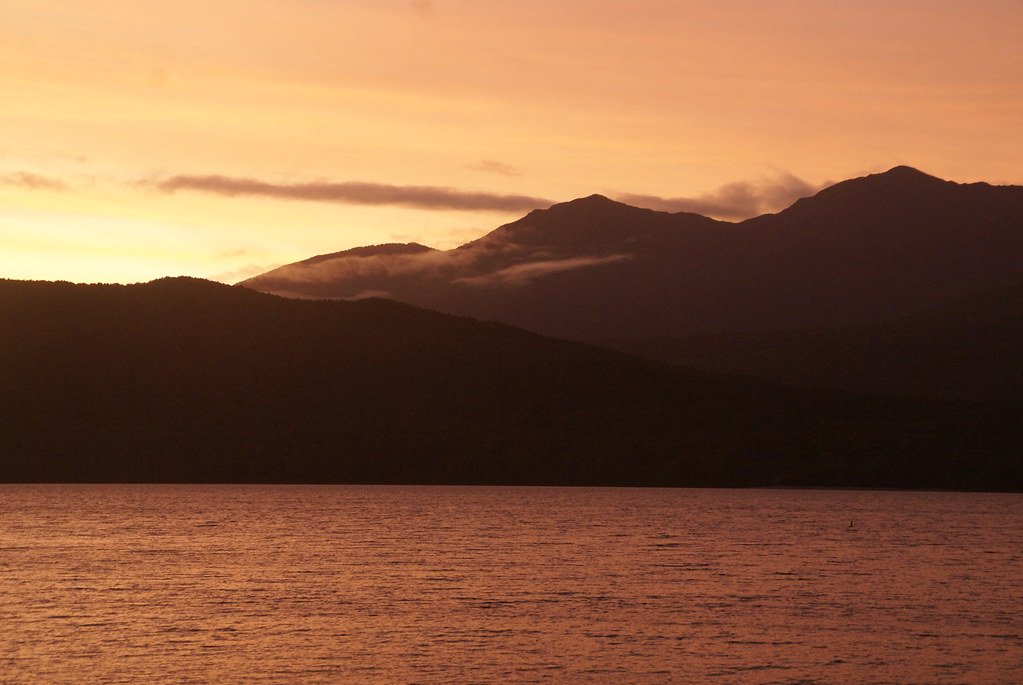
Lake Te Anau
- Boat Ramps
- 4
- Access Points
- 0
- Campsites
- 6
Lake Te Anau is the largest lake in New Zealand's South Island and the second largest in the country overall. Located on the edge of Te Anau township in Fiordland, it sits within Fiordland National Park, a UNESCO World Heritage Site, with Mt Luxmore and the Murchison Mountains forming a dramatic backdrop. The lake is well-suited to day kayaking and family paddling along its lakeshore, with access available from the beaches and lakefront in Te Anau.
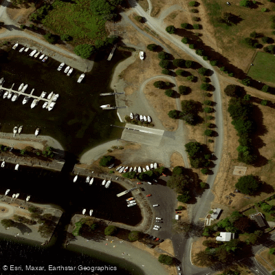
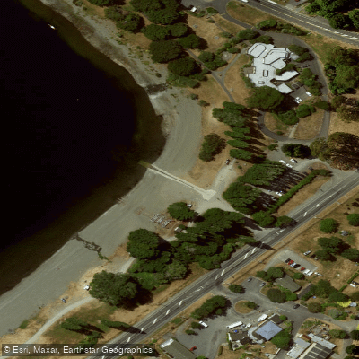
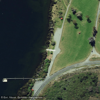
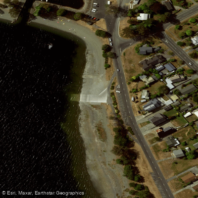
There are multiple boat ramps for launching. In Te Anau township, there is a public ramp at the north end of the shore and a ramp within the marina, which offers jetties, an extensive rigging and parking area, and better security — a daily launching fee applies and arrangements can be made for leaving a vehicle and trailer for several days. A third ramp at Te Anau Downs suits paddlers who want to explore the northern half of the lake, offering good parking, a toilet, and nearby anchorage at Boat Harbour. A narrower ramp near the DoC visitor centre and yacht club at the southern end is more exposed to wind and waves.
Water temperatures generally reach around 16°C, meaning a capsize in strong winds carries real risk — waves of 1 to 2 metres are possible in strong wind conditions, and rescue can be difficult in such circumstances. Power boats operate in the southern part of the main lake and South Fjord, particularly on fine days during the holiday period. The northern reaches of the lake see considerably less traffic, and paddlers can have the water largely to themselves for extended periods. Once away from Te Anau township, there are no supplies, so self-sufficiency is essential.
Didymo (rock snot) is present in Lake Te Anau and is a significant biosecurity concern. Paddlers must not take their kayak into any tributary rivers after it has been in the lake, as the kayak is considered infected. Thorough cleaning before entering any other waterway is essential.
Lakeshore paddling can be combined with walks on the Kepler Track, including a stop at Brod Bay. The Upper Waiau River, connecting Lake Te Anau to Lake Manapouri, offers additional trip options and can include overnight stays at Shallow Bay or Moturau Hut, though natural hazards there include fallen trees, strainers, and jetboat traffic. Advising the DoC visitor centre of paddling intentions before departure is recommended.
Water access, boat ramps & amenities
Learn how to get on Lake Te Anau. Uncover great paddling access points, boat ramps, and all the facilities you need for an unforgettable day on the water. Some locations shown may border or include private property. Always check property boundaries and applicable regulations before visiting. PaddleWays's Public & Private Land layer can help you plan your access with confidence.
Paddle smarter with real-time insights
Whether you're en route and conditions shift or you're looking for the best spot based on current flows, we enable you to make informed decisions on the fly.







Southland licenses and regulations
No licenses or regulations available for Southland.
Find Places to Paddle

Over 400,000 Places to Paddle
Every user gets free access to launch points, boat ramps, and public property parcels.


Water and weather conditions (10 day forecast)
See the best times to paddle Lake Te Anau and check the forecast before you go.
No forecast data available.
Paddling near Lake Te Anau
Waiau River
Doubtful Sound / Patea
Lake Manapouri
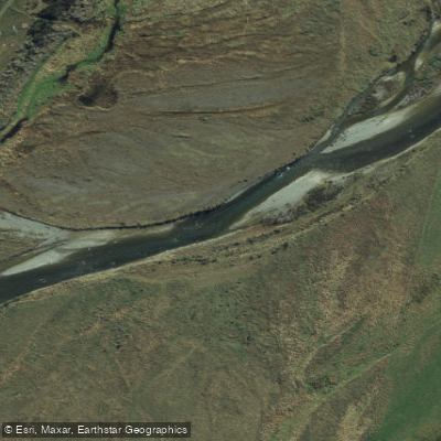
Mararoa River
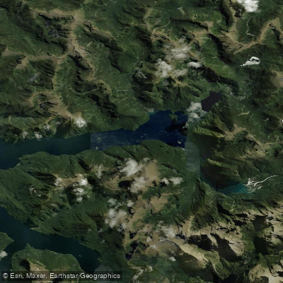
Kaikiekie / Bradshaw Sound
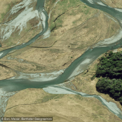
Eglinton River West Branch
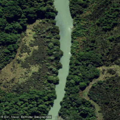
Eglinton River
Kutupārera / Gaer Arm
Lake Monowai
Explore Southland waters
Top paddling waters
No waters available right now.
Popular Cities
Loading popular cities...
Explore near Lake Te Anau
Access points
Nearby waters
More in Southland

Smarter Paddling Starts in the App.
Paddleways gives you everything you need to plan smarter, paddle better, and own every trip from first launch to takeout.